 Saint Ignatius
Leon
Pinehill
Port Wentworth
Chance
Boone County
Lively
Pullman
Iberia
Sabina
Fulton
Old Town
Union County
Novice
Allamoore
Bayside
Harjo
Bonanza
Stone County
Saint Ignatius
Leon
Pinehill
Port Wentworth
Chance
Boone County
Lively
Pullman
Iberia
Sabina
Fulton
Old Town
Union County
Novice
Allamoore
Bayside
Harjo
Bonanza
Stone County
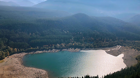
Snoqualmie on the map, United States
Where is located Snoqualmie
Exact location — Snoqualmie, King County, Washington, United States, marked on the map with a red marker.
Coordinates
Snoqualmie, United States coordinates in decimal format: latitude — 47.5287132, longitude — -121.8253906. When converted to degrees, minutes, seconds Snoqualmie has the following coordinates: 47°31′43.37 north latitude and -121°49′31.41 east longitude.
Population
Snoqualmie, King County, Washington, United States, according to our data the population is — 10,670 residents, which is about 0% of the total population of the country (United States).
Comparison of the population on the graph:
Exact time
Time zone for this location Snoqualmie — UTC -7 America/Los_Angeles. Exact time — friday, 4 april 2024 year, 20 h. 41 minute.
Sunrise and sunset
Snoqualmie, sunrise and sunset data for a date — friday 26.04.2024.
| Sunrise | Sunset | Day (duration) |
|---|---|---|
| 06:00 -2 minutes | 20:09 +2 minutes | 14 h. 12 minutes. +4 minutes |
You can control the scale of the map using the auxiliary tools to find out exactly where it is located Snoqualmie. When you change the scale of the map, the width of the ruler also changes (in kilometers and miles).
Nearby cities
The largest cities that are located nearby:
- Bellevue — 29 km
- Seattle — 39 km
- Tacoma — 56 km
- Victoria
 (Canada) — 151 km
 - Abbotsford (Canada) — 173 km
- Delta (Canada) — 194 km
- Surrey (Canada) — 197 km
- Richmond (Canada) — 204 km
- Coquitlam (Canada) — 206 km
- Burnaby (Canada) — 209 km
- Anmore (Canada) — 211 km
- Vancouver (Canada) — 215 km
- Portland — 231 km
- Salem — 301 km
- Kelowna (Canada) — 309 km
- Spokane — 328 km
- Eugene — 397 km
- Boise — 623 km
- Calgary (Canada) — 665 km
Distance to neighboring capitals:
- Ottawa (Canada) — 3489 km
- Mexico City
 (Mexico) — 3738 km
 - Nuuk
 (Greenland) — 4468 km
 - Belmopan
 (Belize) — 4516 km
 - Guatemala City
 (Guatemala) — 4659 km
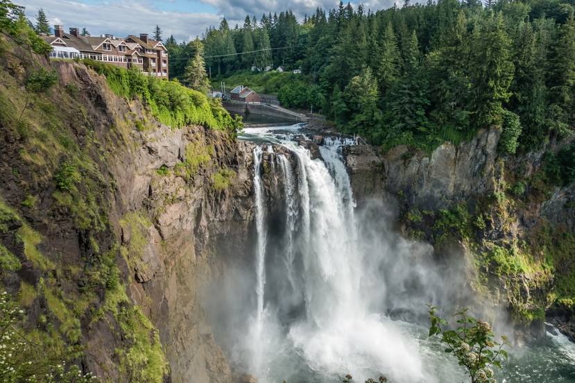
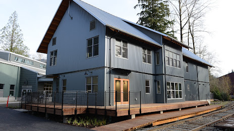
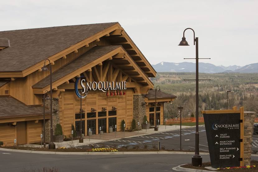
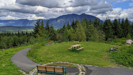
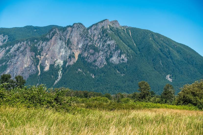
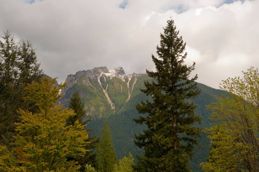
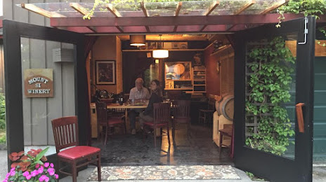
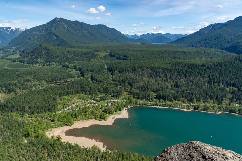
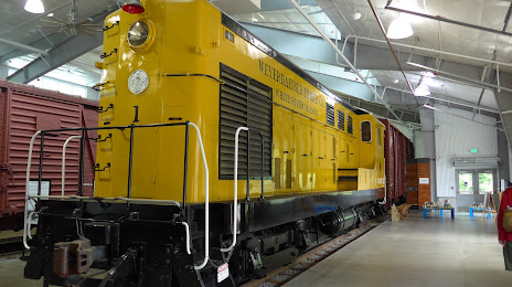
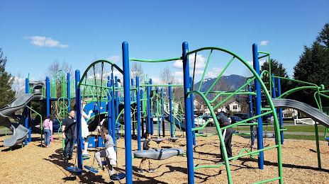
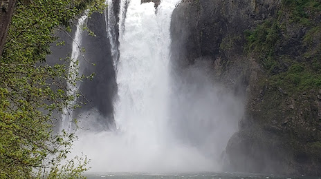
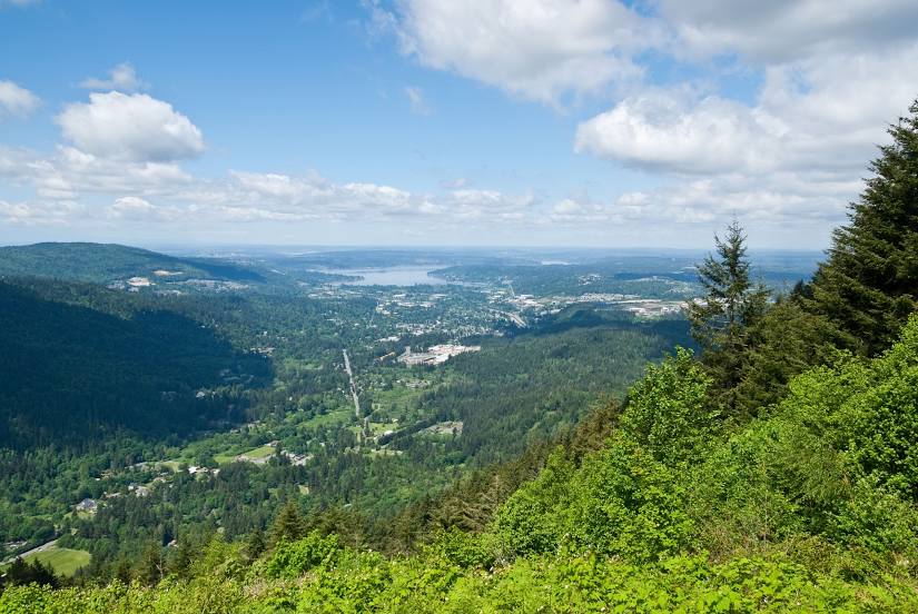
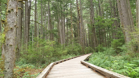
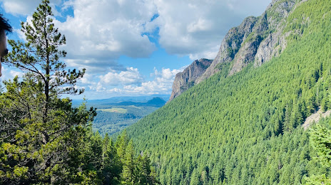
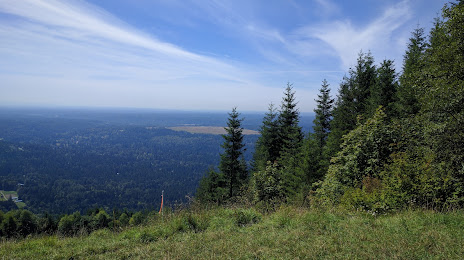
Attractions


Distance to the capital
Distance to the capital (Washington) is about — 3700 km.