Pau Brasil — Igrejinha
Pau Brasil — Porto Belo
Pau Brasil — Magé
Pau Brasil — International Airport of Brasilia
Pau Brasil — Jaraguá do Sul
Pau Brasil — Almirante Tamandaré
Pau Brasil — Cachoeira do Sul
Pau Brasil — Rio Pomba
Pau Brasil — Franca
Pau Brasil — Eldorado dos Carajás
Pau Brasil — Tambaú
Pau Brasil — Santo Amaro da Imperatriz
Pau Brasil — Barra do Bugres
Pau Brasil — Pacaraima
Pau Brasil — Barra do Mendes
Pau Brasil — Canguçu
Pau Brasil — Andorinha
Pau Brasil — Fortaleza
Pau Brasil — Santa Ernestina
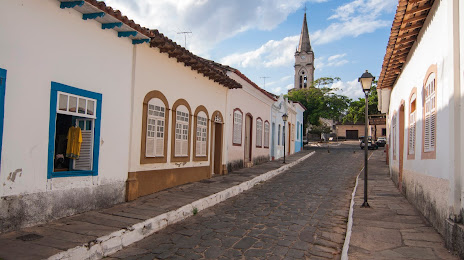
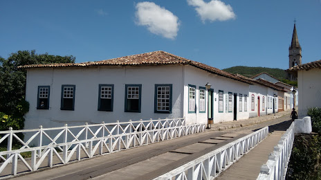
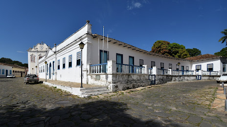
Pau Brasil — Goias distance, route on the map
Distance by car
Distance between Pau Brasil, State of Bahia, Brazil and Goias, Goias, Brazil by car is — km, or miles. To travel this distance by car, you need minute, or h.
Route on the map, driving directions
Car route Pau Brasil — Goias was created automatically. The road on the map is shown as a blue line. By moving the markers, you can create a new route through the points you need.
Distance by plane
If you decide to take a trip Pau Brasil Goias by plane, then you have to fly the distance — 1120 km or 694 miles. It is marked on the map with a gray line (between two points in a straight line).
Flight time
Estimated flight time Pau Brasil Goias by plane at cruising speed 750 km / h will be — 1 h. and 29 min.
Direction of movement
Brazil, Pau Brasil — right-hand traffic. Brazil, Goias — right-hand traffic.
Difference in time
Pau Brasil and Goias are in the same time zone. Between them there is no time difference (UTC -3 America/Fortaleza).
Interesting Facts
Information on alternative ways to get to your destination.
The length of this distance is about 2.8% of the total length of the equator.
The cost of travel
Calculate the cost of the trip yourself using the fuel consumption calculator, changing the data in the table.