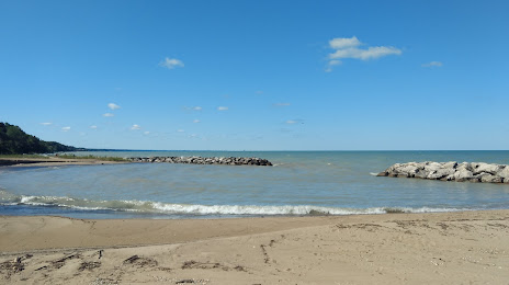
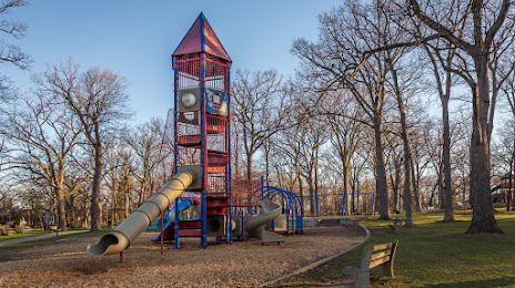
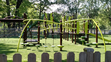
 Palisades Park
Bright
Doble
L'Erable
Crystal Springs
Egremont
Boeing-Kent Heliport
Chicago
Creole
Finland
Cape Coral
Juliette
Worms
Richmond Hill
Burlington
DuPont
Person County
Cary
Schroon Lake
Palisades Park
Bright
Doble
L'Erable
Crystal Springs
Egremont
Boeing-Kent Heliport
Chicago
Creole
Finland
Cape Coral
Juliette
Worms
Richmond Hill
Burlington
DuPont
Person County
Cary
Schroon Lake
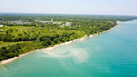
Highland Park on the map, United States
Where is located Highland Park
Exact location — Highland Park, Lake County, Illinois, United States, marked on the map with a red marker.
Coordinates
Highland Park, United States coordinates in decimal format: latitude — 42.1816918, longitude — -87.8003437. When converted to degrees, minutes, seconds Highland Park has the following coordinates: 42°10′54.09 north latitude and -87°48′1.24 east longitude.
Population
Highland Park, Lake County, Illinois, United States, according to our data the population is — 29,763 residents, which is about 0% of the total population of the country (United States).
Comparison of the population on the graph:
Exact time
Time zone for this location Highland Park — UTC -5 America/Chicago. Exact time — thursday, 4 april 2024 year, 19 h. 29 minutes.
Sunrise and sunset
Highland Park, sunrise and sunset data for a date — thursday 25.04.2024.
| Sunrise | Sunset | Day (duration) |
|---|---|---|
| 05:57 -1 minute | 19:40 +1 minute | 13 h. 42 minutes. +2 minutes |
You can control the scale of the map using the auxiliary tools to find out exactly where it is located Highland Park. When you change the scale of the map, the width of the ruler also changes (in kilometers and miles).
Nearby cities
The largest cities that are located nearby:
- Chicago — 36 km
- Naperville — 56 km
- Aurora — 63 km
- Joliet — 76 km
- Milwaukee — 95 km
- Rockford — 106 km
- South Bend — 140 km
- Madison — 163 km
- Grand Rapids — 193 km
- Peoria — 223 km
- Fort Wayne — 253 km
- Green Bay — 259 km
- Lansing — 270 km
- Indianapolis — 301 km
- Ann Arbor — 332 km
- Flint — 345 km
- Toledo — 355 km
- Detroit — 389 km
- Windsor
 (Canada) — 390 km
Distance to neighboring capitals:
- Ottawa (Canada) — 1035 km
- Mexico City
 (Mexico) — 2746 km
 - Belmopan
 (Belize) — 2774 km
 - Guatemala City
 (Guatemala) — 3078 km
 - Nuuk
 (Greenland) — 3345 km
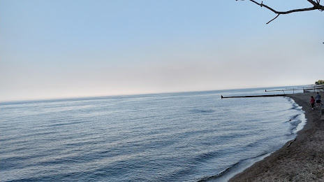
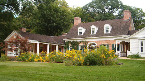
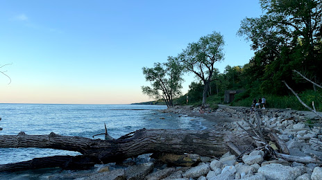
Attractions


Distance to the capital
Distance to the capital (Washington) is about — 979 km.