Esteio — Boa Vista
Esteio — Araucária
Esteio — State of Maranhão
Esteio — São José do Hortêncio
Esteio — Plano Alto
Esteio — Juazeiro do Norte
Esteio — Rio do Fogo
Esteio — Una
Esteio — Rio Bom
Esteio — Bay
Esteio — Marmelópolis
Esteio — Porto Belo
Esteio — Paranavaí
Esteio — Itaúna
Esteio — Ourinhos
Esteio — Camaçari
Esteio — Piratininga
Esteio — Olindina
Esteio — Leme
Gravataí
Glorinha
Santo Antônio da Patrulha
Osório
Terra de Areia
Torres
Torres
São João do Sul
Sombrio
Araranguá
Maracajá
Içara
Morro da Fumaça
Jaguaruna
Tubarão
Tubarão
Laguna
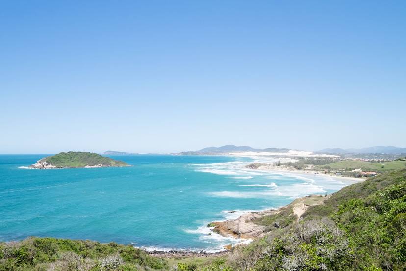
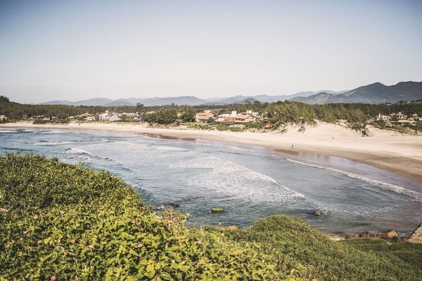
Esteio — Imbituba distance, route on the map
Distance by car
Distance between Esteio, State of Rio Grande do Sul, Brazil and Imbituba, Santa Catarina, Brazil by car is — km, or miles. To travel this distance by car, you need minute, or h.
Route on the map, driving directions
Car route Esteio — Imbituba was created automatically. The road on the map is shown as a blue line. By moving the markers, you can create a new route through the points you need.
Passing cities through which the car route passes: Cachoeirinha, Gravataí, Glorinha, Santo Antônio da Patrulha, Osório, Terra de Areia, Torres, Torres, São João do Sul, Sombrio, Araranguá, Maracajá, Içara, Morro da Fumaça, Jaguaruna, Tubarão, Tubarão, Laguna.
Distance by plane
If you decide to take a trip Esteio Imbituba by plane, then you have to fly the distance — 304 km or 188 miles. It is marked on the map with a gray line (between two points in a straight line).
Flight time
Estimated flight time Esteio Imbituba by plane at cruising speed 750 km / h will be — 24 min.
Direction of movement
Brazil, Esteio — right-hand traffic. Brazil, Imbituba — right-hand traffic.
Difference in time
Esteio and Imbituba are in the same time zone. Between them there is no time difference (UTC -3 America/Sao_Paulo).
Interesting Facts
Information on alternative ways to get to your destination.
The length of this distance is about 0.8% of the total length of the equator.
The percentage of the population is clearly shown in the graph:
Esteio — 84,902, Imbituba — 43,450 residents (less by 41,452).
The cost of travel
Calculate the cost of the trip yourself using the fuel consumption calculator, changing the data in the table.