Esteio — Cuparaque
Esteio — Mato Grosso
Esteio — Monteiro Lobato
Esteio — Pedreira
Esteio — Marmeleiro
Esteio — Campina Verde
Esteio — Bariri
Esteio — Caconde
Esteio — Rio Novo do Sul
Esteio — Jaçanã
Esteio — Alto Piquiri
Esteio — Mascote
Esteio — Maceió
Esteio — Reserva
Esteio — Corumbá
Esteio — Itaara
Esteio — Serra Branca
Esteio — Uruguaiana International Airport
Esteio — Gavião Peixoto
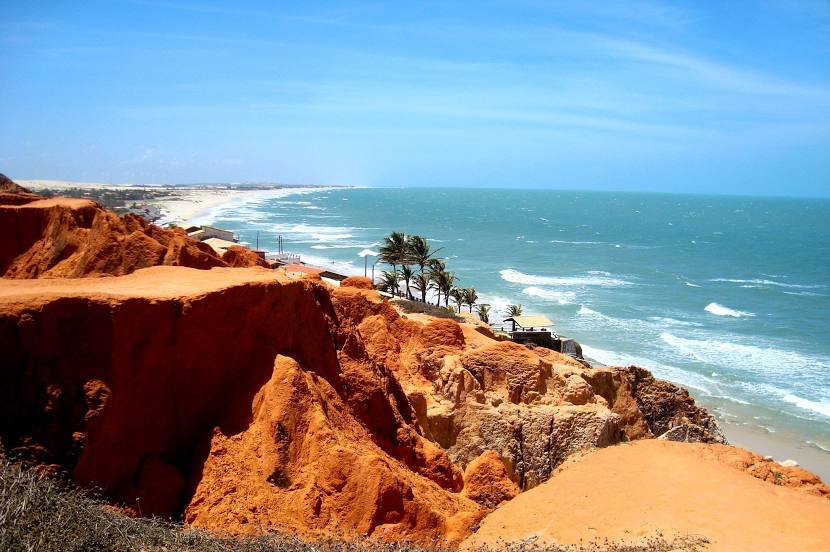
Esteio — Beberibe distance, route on the map
Distance by car
Distance between Esteio, State of Rio Grande do Sul, Brazil and Beberibe, Ceará, Brazil by car is — km, or miles. To travel this distance by car, you need minute, or h.
Route on the map, driving directions
Car route Esteio — Beberibe was created automatically. The road on the map is shown as a blue line. By moving the markers, you can create a new route through the points you need.
Distance by plane
If you decide to take a trip Esteio Beberibe by plane, then you have to fly the distance — 3168 km or 1964 miles. It is marked on the map with a gray line (between two points in a straight line).
Flight time
Estimated flight time Esteio Beberibe by plane at cruising speed 750 km / h will be — 4 h. and 13 min.
Direction of movement
Brazil, Esteio — right-hand traffic. Brazil, Beberibe — right-hand traffic.
Difference in time
Esteio and Beberibe are in the same time zone. Between them there is no time difference (UTC -3 America/Sao_Paulo).
Interesting Facts
Information on alternative ways to get to your destination.
The length of this distance is about 7.9% of the total length of the equator.
The percentage of the population is clearly shown in the graph:
Esteio — 84,902, Beberibe — 37,028 residents (less by 47,874).
The cost of travel
Calculate the cost of the trip yourself using the fuel consumption calculator, changing the data in the table.