 Garza County
Sunriver
Pasco
Florence
Fulton County Airport-Brown Field
Alba
Orlando
Talon Air
Columbia County
Waino
Huron
Brevard County
Acton
Marshlands
Pender County
Valley Head
Morgan County
Gage County
Bolivar County
Garza County
Sunriver
Pasco
Florence
Fulton County Airport-Brown Field
Alba
Orlando
Talon Air
Columbia County
Waino
Huron
Brevard County
Acton
Marshlands
Pender County
Valley Head
Morgan County
Gage County
Bolivar County
Plantation on the map, United States
Where is located Plantation
Exact location — Plantation, Florida, United States, marked on the map with a red marker.
Coordinates
Plantation, United States coordinates in decimal format: latitude — 26.1093868, longitude — -80.2519127. When converted to degrees, minutes, seconds Plantation has the following coordinates: 26°6′33.79 north latitude and -80°15′6.89 east longitude.
Population
Plantation, Florida, United States, according to our data the population is — 84,955 residents, which is about 0% of the total population of the country (United States).
Comparison of the population on the graph:
Exact time
Time zone for this location Plantation — UTC -4 America/New_York. Exact time — friday, 4 april 2024 year, 10 h. 06 minutes.
Sunrise and sunset
Plantation, sunrise and sunset data for a date — friday 26.04.2024.
| Sunrise | Sunset | Day (duration) |
|---|---|---|
| 06:49 -1 minute | 19:47 -0 minutes | 13 h. 0 minutes. +1 minute |
You can control the scale of the map using the auxiliary tools to find out exactly where it is located Plantation. When you change the scale of the map, the width of the ruler also changes (in kilometers and miles).
Nearby cities
The largest cities that are located nearby:
- Fort Lauderdale — 11 km
- Pembroke Pines — 12 km
- Miramar — 15 km
- Hollywood — 15 km
- Coral Springs — 18 km
- Hialeah — 28 km
- Miami — 39 km
- Port Saint Lucie — 129 km
- Cape Coral — 175 km
- Brandon — 283 km
- Orlando — 290 km
- Tampa — 296 km
- Saint Petersburg — 297 km
- Nassau
 (The Bahamas) — 313 km
 - Clearwater — 323 km
- Matanzas
 (Cuba) — 364 km
 - Havana (Cuba) — 385 km
- Santa Clara (Cuba) — 409 km
- Gainesville — 439 km
Distance to neighboring capitals:
- Belmopan
 (Belize) — 1320 km
 - Guatemala City
 (Guatemala) — 1667 km
 - Mexico City
 (Mexico) — 2071 km
 - Ottawa
 (Canada) — 2186 km
 - Nuuk
 (Greenland) — 4703 km
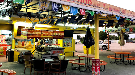
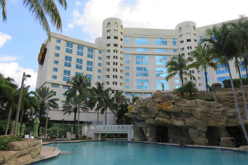
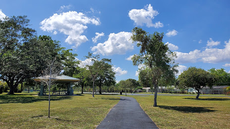
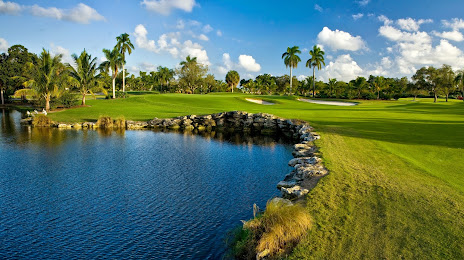
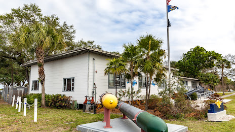
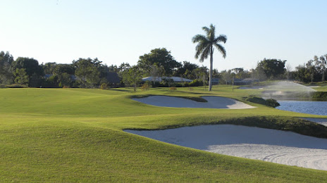
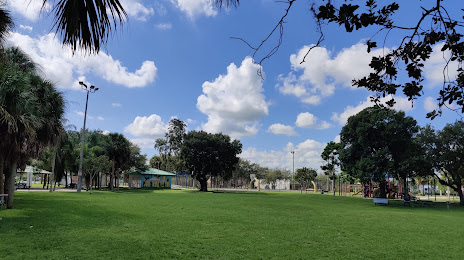
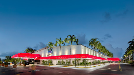
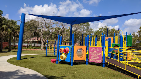
Attractions


Distance to the capital
Distance to the capital (Washington) is about — 1455 km.