Ibarra — Shell
Ibarra — The baby
Ibarra — Río Verde
Ibarra — El Tambo
Ibarra — Chongón
Ibarra — Ahuano
Ibarra — Ona
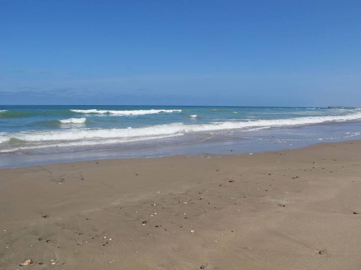
Ibarra — Canoa
Ibarra — Ambato Canton
Ibarra — Catarama
Ibarra — Salango
Ibarra — Chuquiribamba
Ibarra — Nuevo Rocafuerte
Ibarra — Salitral
Ibarra — Buenavista
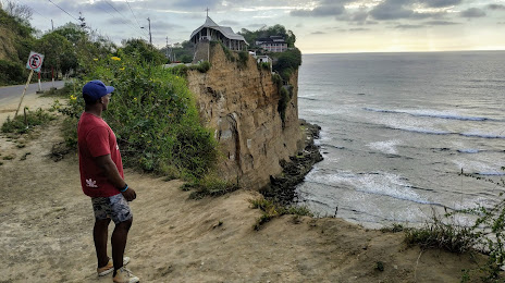
Ibarra — Puerto Cayo
Ibarra — Atacames Canton
Ibarra — Puerto Cayo
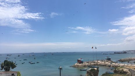
Ibarra — Puerto Lopez
Ibarra — Shell
Ibarra — The baby
Ibarra — Río Verde
Ibarra — El Tambo
Ibarra — Chongón
Ibarra — Ahuano
Ibarra — Ona
Ibarra — Canoa
Ibarra — Ambato Canton
Ibarra — Catarama
Ibarra — Salango
Ibarra — Chuquiribamba
Ibarra — Nuevo Rocafuerte
Ibarra — Salitral
Ibarra — Buenavista
Ibarra — Puerto Cayo
Ibarra — Atacames Canton
Ibarra — Puerto Cayo
Ibarra — Puerto Lopez
Ibarra — La Libertad distance, route on the map
Distance by car
Distance between Ibarra, Imbabura Province, Ecuador and La Libertad, Santa Elena, Ecuador by car is — km, or miles. To travel this distance by car, you need minute, or h.
Route on the map, driving directions
Car route Ibarra — La Libertad was created automatically. The road on the map is shown as a blue line. By moving the markers, you can create a new route through the points you need.
Distance by plane
If you decide to take a trip Ibarra La Libertad by plane, then you have to fly the distance — 417 km or 259 miles. It is marked on the map with a gray line (between two points in a straight line).
Flight time
Estimated flight time Ibarra La Libertad by plane at cruising speed 750 km / h will be — 33 min.
Direction of movement
Ecuador, Ibarra — right-hand traffic. Ecuador, La Libertad — right-hand traffic.
Difference in time
Ibarra and La Libertad are in the same time zone. Between them there is no time difference (UTC -5 America/Guayaquil).
Interesting Facts
Information on alternative ways to get to your destination.
The length of this distance is about 1.0% of the total length of the equator.
The percentage of the population is clearly shown in the graph:
Ibarra — 132,977, La Libertad — 75,881 residents (less by 57,096).
The cost of travel
Calculate the cost of the trip yourself using the fuel consumption calculator, changing the data in the table.