Canto do Feijão — Encantado
Canto do Feijão — Dores do Turvo
Canto do Feijão — Jerônimo Monteiro
Canto do Feijão — Major Isidoro
Canto do Feijão — Paranhos
Canto do Feijão — Rio Pardo de Minas
Canto do Feijão — Iguaba Grande
Canto do Feijão — Centenário do Sul
Canto do Feijão — Remanso
Canto do Feijão — Pereira Barreto
Canto do Feijão — Marinópolis
Canto do Feijão — Airport Santa Maria
Canto do Feijão — Juru
Canto do Feijão — Arara
Canto do Feijão — Boa Vista do Buricá
Canto do Feijão — Barretos
Canto do Feijão — Medeiros Neto
Canto do Feijão — Imbé
Canto do Feijão — Assis
Canto do Feijão — Encantado
Canto do Feijão — Dores do Turvo
Canto do Feijão — Jerônimo Monteiro
Canto do Feijão — Major Isidoro
Canto do Feijão — Paranhos
Canto do Feijão — Rio Pardo de Minas
Canto do Feijão — Iguaba Grande
Canto do Feijão — Centenário do Sul
Canto do Feijão — Remanso
Canto do Feijão — Pereira Barreto
Canto do Feijão — Marinópolis
Canto do Feijão — Airport Santa Maria
Canto do Feijão — Juru
Canto do Feijão — Arara
Canto do Feijão — Boa Vista do Buricá
Canto do Feijão — Barretos
Canto do Feijão — Medeiros Neto
Canto do Feijão — Imbé
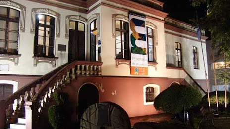
Canto do Feijão — Assis
Canto do Feijão — São José dos Pinhais distance, route on the map
Distance by car
Distance between Canto do Feijão, Rio Grande do Norte, Brazil and São José dos Pinhais, Paraná, Brazil by car is — km, or miles. To travel this distance by car, you need minute, or h.
Route on the map, driving directions
Car route Canto do Feijão — São José dos Pinhais was created automatically. The road on the map is shown as a blue line. By moving the markers, you can create a new route through the points you need.
Distance by plane
If you decide to take a trip Canto do Feijão São José dos Pinhais by plane, then you have to fly the distance — 2546 km or 1579 miles. It is marked on the map with a gray line (between two points in a straight line).
Flight time
Estimated flight time Canto do Feijão São José dos Pinhais by plane at cruising speed 750 km / h will be — 3 h. and 23 min.
Direction of movement
Brazil, Canto do Feijão — right-hand traffic. Brazil, São José dos Pinhais — right-hand traffic.
Difference in time
Canto do Feijão and São José dos Pinhais are in the same time zone. Between them there is no time difference (UTC -3 America/Fortaleza).
Interesting Facts
Information on alternative ways to get to your destination.
The length of this distance is about 6.4% of the total length of the equator.
The cost of travel
Calculate the cost of the trip yourself using the fuel consumption calculator, changing the data in the table.