
 Zufre
Roda
A Picaraña
Igueste de Candelaria
Miramontes
Montixelvo
La Aldea
El Pinell de Brai
El Frasno
Güejar Sierra
Puerto de Naos
La Floresta
Madrid
L'Hospitalet de Llobregat
Cangas
Montmeló
El Peral
Peguera
Nuevo Horizonte
Zufre
Roda
A Picaraña
Igueste de Candelaria
Miramontes
Montixelvo
La Aldea
El Pinell de Brai
El Frasno
Güejar Sierra
Puerto de Naos
La Floresta
Madrid
L'Hospitalet de Llobregat
Cangas
Montmeló
El Peral
Peguera
Nuevo Horizonte
Picanya on the map, Spain
Where is located Picanya
Exact location — Picanya, Valencia, Valencian Community, Spain, marked on the map with a red marker.
Coordinates
Picanya, Spain coordinates in decimal format: latitude — 39.440219, longitude — -0.425891. When converted to degrees, minutes, seconds Picanya has the following coordinates: 39°26′24.79 north latitude and -0°25′33.21 east longitude.
Population
Picanya, Valencia, Valencian Community, Spain, according to our data the population is — 11,053 residents, which is about 0% of the total population of the country (Spain).
Comparison of the population on the graph:
Exact time
Time zone for this location Picanya — UTC +2 Europe/Madrid. Exact time — friday, 5 may 2024 year, 02 h. 44 minutes.
Sunrise and sunset
Picanya, sunrise and sunset data for a date — friday 10.05.2024.
| Sunrise | Sunset | Day (duration) |
|---|---|---|
| 06:55 -1 minute | 21:00 +1 minute | 14 h. 6 minutes. +2 minutes |
You can control the scale of the map using the auxiliary tools to find out exactly where it is located Picanya. When you change the scale of the map, the width of the ruler also changes (in kilometers and miles).
Nearby cities
The largest cities that are located nearby:
- Valencia — 5 km
- Albacete — 133 km
- Murcia — 171 km
- Cartagena — 207 km
- Tarragona — 232 km
- Zaragoza — 247 km
- Lleida — 256 km
- Palma — 263 km
- Alcala de Henares — 273 km
- Torrejón de Ardoz — 280 km
- Getafe — 295 km
- Alcobendas — 296 km
- Leganés — 298 km
- L'Hospitalet de Llobregat — 300 km
- Fuenlabrada — 300 km
- Alcorcón — 304 km
- Móstoles — 306 km
- Terrassa — 309 km
- Santa Coloma de Gramenet — 311 km
Distance to neighboring capitals:
- Andorra la Vella
 (Andorra) — 378 km
 - Lisbon
 (Portugal) — 756 km
 - Rabat
 (Morocco) — 835 km
 - Paris
 (France) — 1070 km
 - Paris (France) — 1070 km
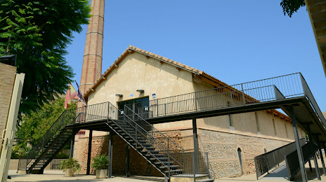
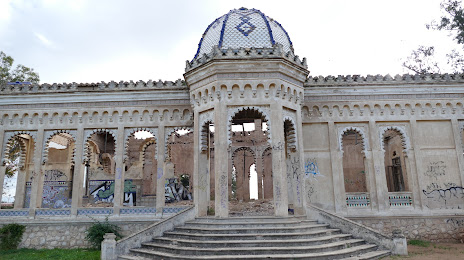
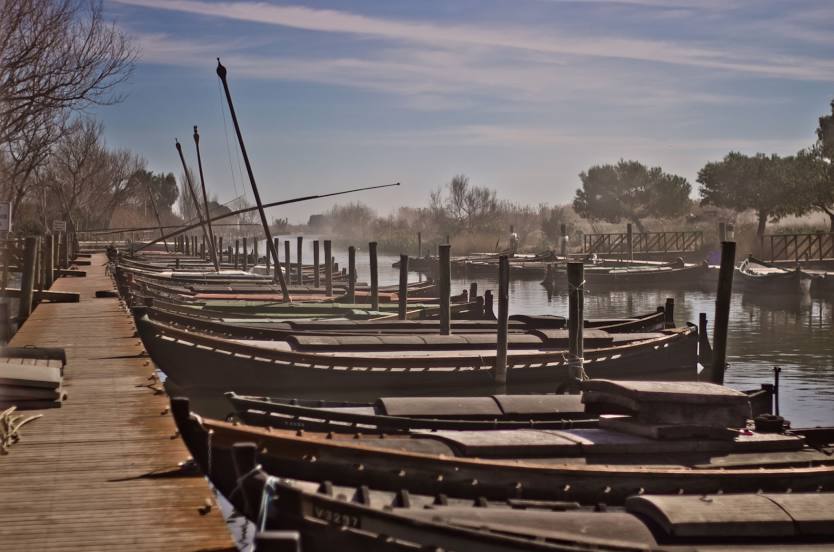
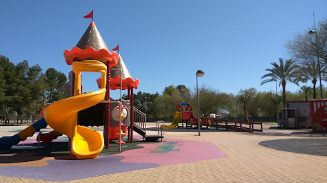
Attractions


Distance to the capital
Distance to the capital (Madrid) is about — 300 km.