Pouso Alegre — Comodoro
Pouso Alegre — Vicente Dutra
Pouso Alegre — Balbinos
Pouso Alegre — Pinhalzinho
Pouso Alegre — Irecê
Pouso Alegre — Cachoeira
Pouso Alegre — Westphalia
Pouso Alegre — Porto Alegre
Pouso Alegre — Três Lagoas
Pouso Alegre — Teutônia
Pouso Alegre — Soure
Pouso Alegre — Girau do Ponciano
Pouso Alegre — Barrero
Pouso Alegre — Campo Novo
Pouso Alegre — Jaguaribara
Pouso Alegre — Itueta
Pouso Alegre — Cajueiro da Praia
Pouso Alegre — Angra dos Reis
Pouso Alegre — Analândia
Itajubá
Delfim Moreira
Piquete
Cachoeira Paulista
Cruzeiro
Lavrinhas
Queluz
Itatiaia
Penedo
Resende
Porto Real
Barra Mansa
Pinheiral
Piraí
Seropédica
Queimados
Nova Iguaçu
Brazil
Korea
Belford Roxo
São João de Meriti
São João de Meriti
School
Duque de Caxias
RIOgaleão - Tom Jobim International Airport
Ramos
State of Rio de Janeiro
Niterói
São Gonçalo
Monjolo
Itaboraí
Tanguá
Rio Bonito
Araruama
Iguaba Grande
São Pedro da Aldeia
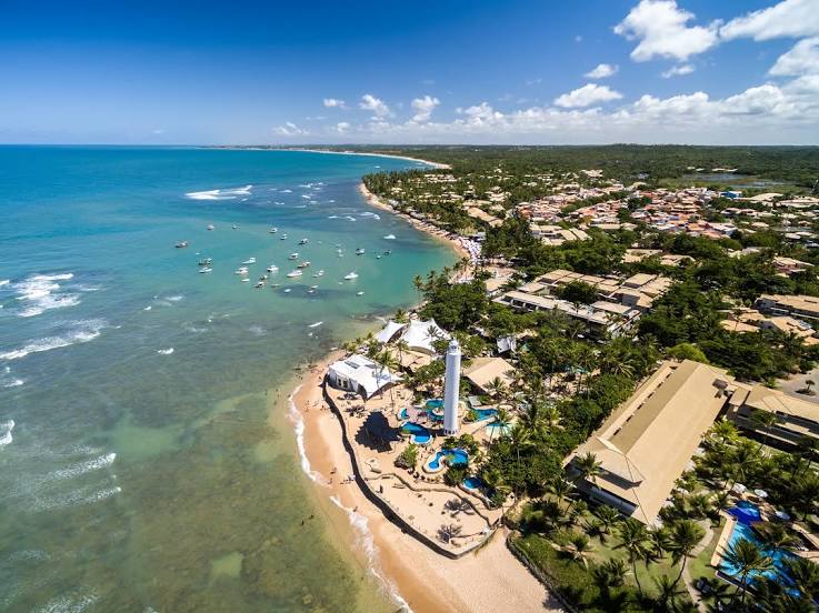
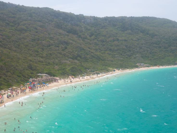
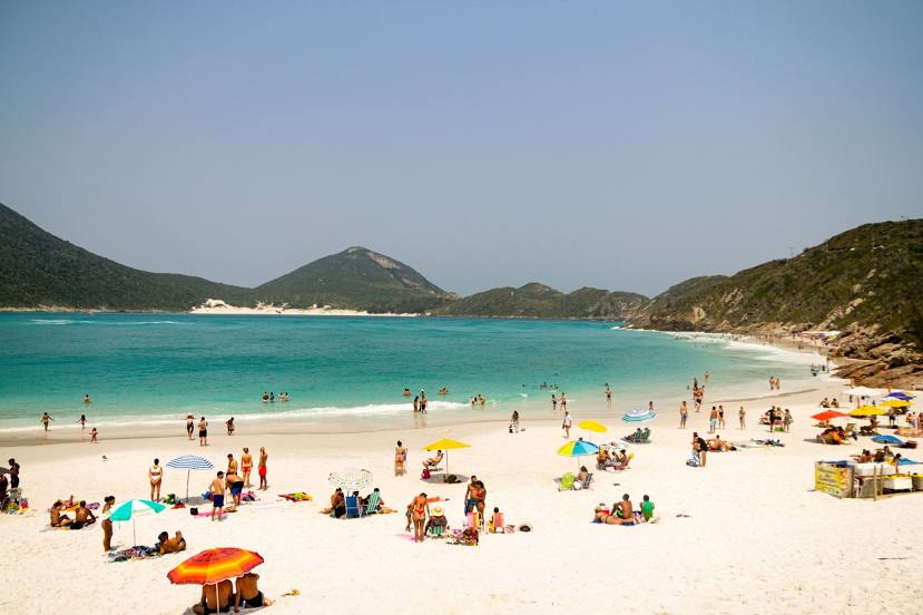
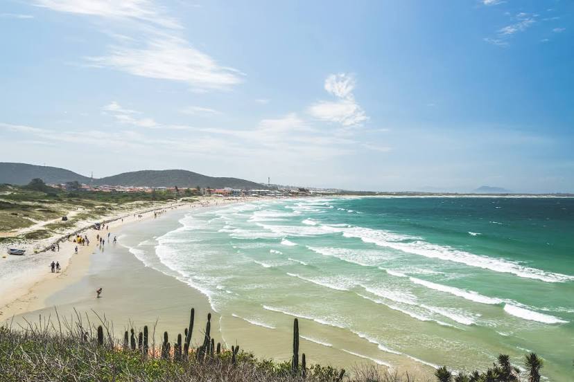
Pouso Alegre — Cabo Frio distance, route on the map
Distance by car
Distance between Pouso Alegre, State of Minas Gerais, Brazil and Cabo Frio, Rio de Janeiro, Brazil by car is — km, or miles. To travel this distance by car, you need minute, or h.
Route on the map, driving directions
Car route Pouso Alegre — Cabo Frio was created automatically. The road on the map is shown as a blue line. By moving the markers, you can create a new route through the points you need.
Passing cities through which the car route passes: Piranguinho, Itajubá, Delfim Moreira, Piquete, Cachoeira Paulista, Cruzeiro, Lavrinhas, Queluz, Itatiaia, Penedo, Resende, Porto Real, Barra Mansa, Pinheiral, Piraí, Seropédica, Queimados, Nova Iguaçu, Brazil, Korea, Belford Roxo, São João de Meriti, São João de Meriti, School, Duque de Caxias, RIOgaleão - Tom Jobim International Airport, Ramos, State of Rio de Janeiro, Niterói, São Gonçalo, Monjolo, Itaboraí, Tanguá, Rio Bonito, Araruama, Iguaba Grande, São Pedro da Aldeia.
Distance by plane
If you decide to take a trip Pouso Alegre Cabo Frio by plane, then you have to fly the distance — 408 km or 253 miles. It is marked on the map with a gray line (between two points in a straight line).
Flight time
Estimated flight time Pouso Alegre Cabo Frio by plane at cruising speed 750 km / h will be — 32 min.
Direction of movement
Brazil, Pouso Alegre — right-hand traffic. Brazil, Cabo Frio — right-hand traffic.
Difference in time
Pouso Alegre and Cabo Frio are in the same time zone. Between them there is no time difference (UTC -3 America/Sao_Paulo).
Interesting Facts
Information on alternative ways to get to your destination.
The length of this distance is about 1.0% of the total length of the equator.
The percentage of the population is clearly shown in the graph:
Pouso Alegre — 115,201, Cabo Frio — 108,241 residents (less by 6,960).
The cost of travel
Calculate the cost of the trip yourself using the fuel consumption calculator, changing the data in the table.