 Benson
Isola
Fayetteville
Flushing
Green County
Washington Terrace
Ross
Thetford
Bonney Lake
New Roads
San Luis
Eureka County
Winger
Ava
Valle Escondido
Manatí
Hernando County
Young County
Peacock
Benson
Isola
Fayetteville
Flushing
Green County
Washington Terrace
Ross
Thetford
Bonney Lake
New Roads
San Luis
Eureka County
Winger
Ava
Valle Escondido
Manatí
Hernando County
Young County
Peacock
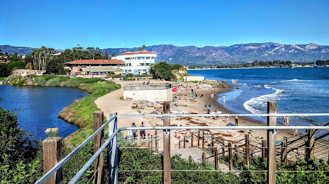
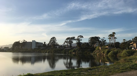
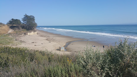
Isla Vista on the map, United States
Where is located Isla Vista
Exact location — Isla Vista, Santa Barbara County, California, United States, marked on the map with a red marker.
Coordinates
Isla Vista, United States coordinates in decimal format: latitude — 34.4152272, longitude — -119.8482359. When converted to degrees, minutes, seconds Isla Vista has the following coordinates: 34°24′54.82 north latitude and -119°50′53.65 east longitude.
Population
Isla Vista, Santa Barbara County, California, United States, according to our data the population is — 23,096 residents, which is about 0% of the total population of the country (United States).
Comparison of the population on the graph:
Exact time
Time zone for this location Isla Vista — UTC -7 America/Los_Angeles. Exact time — friday, 4 april 2024 year, 09 h. 29 minutes.
Sunrise and sunset
Isla Vista, sunrise and sunset data for a date — friday 26.04.2024.
| Sunrise | Sunset | Day (duration) |
|---|---|---|
| 06:16 -1 minute | 19:37 +1 minute | 13 h. 24 minutes. +2 minutes |
You can control the scale of the map using the auxiliary tools to find out exactly where it is located Isla Vista. When you change the scale of the map, the width of the ruler also changes (in kilometers and miles).
Nearby cities
The largest cities that are located nearby:
- Oxnard — 66 km
- Thousand Oaks — 96 km
- Simi Valley — 99 km
- Santa Clarita — 115 km
- Santa Clarita — 119 km
- Bakersfield — 130 km
- Universal City — 140 km
- Burbank — 143 km
- Inglewood — 146 km
- Glendale — 149 km
- Los Angeles — 152 km
- Torrance — 153 km
- Lancaster — 157 km
- Pasadena — 159 km
- Palmdale — 159 km
- East Los Angeles — 160 km
- Downey — 166 km
- Long Beach — 168 km
- El Monte — 171 km
Distance to neighboring capitals:
- Mexico City
 (Mexico) — 2635 km
 - Belmopan
 (Belize) — 3627 km
 - Guatemala City
 (Guatemala) — 3671 km
 - Ottawa
 (Canada) — 3905 km
 - Nuuk
 (Greenland) — 5562 km
Attractions


Distance to the capital
Distance to the capital (Washington) is about — 3817 km.