Santa Cruz Amilpas — Citlaltépetl
Santa Cruz Amilpas — Caborca
Santa Cruz Amilpas — Maravilla Tenejapa
Santa Cruz Amilpas — Juchitán de Zaragoza
Santa Cruz Amilpas — Suaqui Grande
Santa Cruz Amilpas — Ameca
Santa Cruz Amilpas — Independence
Santa Cruz Amilpas — Villa Unión
Santa Cruz Amilpas — Pánuco
Santa Cruz Amilpas — Palmar Chico
Santa Cruz Amilpas — San Dionisio del Mar
Santa Cruz Amilpas — Reforma de Pineda
Santa Cruz Amilpas — Tula
Santa Cruz Amilpas — Cerro de la Palma
Santa Cruz Amilpas — Nadadores
Santa Cruz Amilpas — El Huajote
Santa Cruz Amilpas — Brisas de Zicatela
Santa Cruz Amilpas — La Marquesa
Santa Cruz Amilpas — Saucillo
Oaxaca
Oaxaca
Santa Cruz
San Jacinto Amilpas
San Pablo Etla
San Lorenzo Cacaotepec
Nazareno Etla
Reyes Etla
San Francisco Telixtlahuaca
Asunción Nochixtlán
San Andrés Sinaxtla
Tlaxiaco
Tlaxiaco
Putla Villa de Guerrero
Santa María Ipalapa
San Pedro Amuzgos
Ometepec
Ometepec
Huehuetán
El Polvorín
Marquelia
Marquelia
Colonia Juan N. Álvarez
Copala
Copala
Cruz Grande
Las Vigas
San Marcos
El Tejoruco
Amatillo
Tres Palos
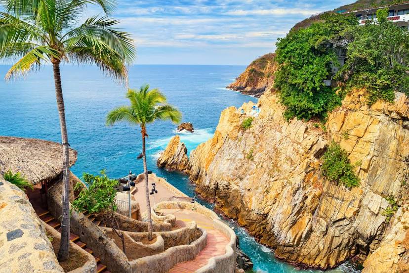
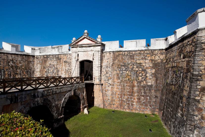
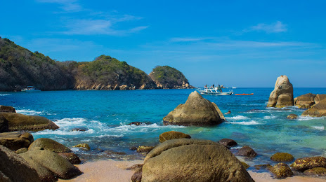
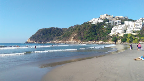
Acapulco
New Frontier
Santa Cruz Amilpas — Citlaltépetl
Santa Cruz Amilpas — Caborca
Santa Cruz Amilpas — Maravilla Tenejapa
Santa Cruz Amilpas — Juchitán de Zaragoza
Santa Cruz Amilpas — Suaqui Grande
Santa Cruz Amilpas — Ameca
Santa Cruz Amilpas — Independence
Santa Cruz Amilpas — Villa Unión
Santa Cruz Amilpas — Pánuco
Santa Cruz Amilpas — Palmar Chico
Santa Cruz Amilpas — San Dionisio del Mar
Santa Cruz Amilpas — Reforma de Pineda
Santa Cruz Amilpas — Tula
Santa Cruz Amilpas — Cerro de la Palma
Santa Cruz Amilpas — Nadadores
Santa Cruz Amilpas — El Huajote
Santa Cruz Amilpas — Brisas de Zicatela
Santa Cruz Amilpas — La Marquesa
Santa Cruz Amilpas — Saucillo
Oaxaca
Oaxaca
Santa Cruz
San Jacinto Amilpas
San Pablo Etla
San Lorenzo Cacaotepec
Nazareno Etla
Reyes Etla
San Francisco Telixtlahuaca
Asunción Nochixtlán
San Andrés Sinaxtla
Tlaxiaco
Tlaxiaco
Putla Villa de Guerrero
Santa María Ipalapa
San Pedro Amuzgos
Ometepec
Ometepec
Huehuetán
El Polvorín
Marquelia
Marquelia
Colonia Juan N. Álvarez
Copala
Copala
Cruz Grande
Las Vigas
San Marcos
El Tejoruco
Amatillo
Tres Palos
Acapulco
New Frontier
Santa Cruz Amilpas — Acapulco distance, route on the map
Distance by car
Distance between Santa Cruz Amilpas, Oaxaca, Mexico and Acapulco, Guerrero, Mexico by car is — km, or miles. To travel this distance by car, you need minute, or h.
Route on the map, driving directions
Car route Santa Cruz Amilpas — Acapulco was created automatically. The road on the map is shown as a blue line. By moving the markers, you can create a new route through the points you need.
Passing cities through which the car route passes: Santa Lucía del Camino, Oaxaca, Oaxaca, Santa Cruz, San Jacinto Amilpas, San Pablo Etla, San Lorenzo Cacaotepec, Nazareno Etla, Reyes Etla, San Francisco Telixtlahuaca, Asunción Nochixtlán, San Andrés Sinaxtla, Tlaxiaco, Tlaxiaco, Putla Villa de Guerrero, Santa María Ipalapa, San Pedro Amuzgos, Ometepec, Ometepec, Huehuetán, El Polvorín, Marquelia, Marquelia, Colonia Juan N. Álvarez, Copala, Copala, Cruz Grande, Las Vigas, San Marcos, El Tejoruco, Amatillo, Tres Palos, Acapulco, New Frontier.
Distance by plane
If you decide to take a trip Santa Cruz Amilpas Acapulco by plane, then you have to fly the distance — 341 km or 211 miles. It is marked on the map with a gray line (between two points in a straight line).
Flight time
Estimated flight time Santa Cruz Amilpas Acapulco by plane at cruising speed 750 km / h will be — 27 min.
Direction of movement
Mexico, Santa Cruz Amilpas — right-hand traffic. Mexico, Acapulco — right-hand traffic.
Difference in time
Santa Cruz Amilpas and Acapulco are in the same time zone. Between them there is no time difference (UTC -6 America/Mexico_City).
Interesting Facts
Information on alternative ways to get to your destination.
The length of this distance is about 0.9% of the total length of the equator.
The percentage of the population is clearly shown in the graph:
Santa Cruz Amilpas — 10,120 (less by 642,040), Acapulco — 652,160 residents.
The cost of travel
Calculate the cost of the trip yourself using the fuel consumption calculator, changing the data in the table.