Río Blanco — Cayey
Río Blanco — Utuado
Río Blanco — Vega Baja
Río Blanco — Dorado
Río Blanco — San Lorenzo
Río Blanco — San Juan
Río Blanco — Cuchillas
Río Blanco — Cruces
Río Blanco — Maguayo
Río Blanco — Barrazas
Río Blanco — Rio Piedras
Río Blanco — Punta Santiago
Río Blanco — Guayanilla
Río Blanco — Camuy
Río Blanco — Maunabo
Río Blanco — Saltos
Río Blanco — Monacillo
Río Blanco — Aeropuerto Internacional Luis Muñoz Marín
Río Blanco — Candelero Arriba
Sector Duque
Naguabo
Mambiche
Humacao
Humacao
Candelero Arriba
Yabucoa
Emajagua
Maunabo
Pollos
Stream
Guayama
Aguirre
Salinas
Salinas
Santa Isabel
Playita Cortada
Juana Díaz
Coto Laurel
Mercedita International Airport
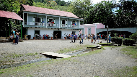
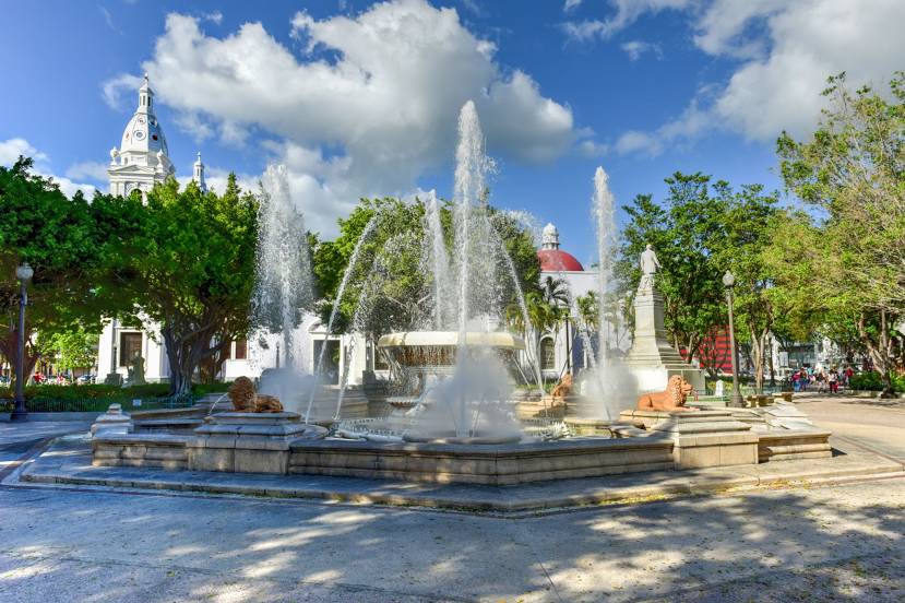
Ponce
Río Blanco — Cayey
Río Blanco — Utuado
Río Blanco — Vega Baja
Río Blanco — Dorado
Río Blanco — San Lorenzo
Río Blanco — San Juan
Río Blanco — Cuchillas
Río Blanco — Cruces
Río Blanco — Maguayo
Río Blanco — Barrazas
Río Blanco — Rio Piedras
Río Blanco — Punta Santiago
Río Blanco — Guayanilla
Río Blanco — Camuy
Río Blanco — Maunabo
Río Blanco — Saltos
Río Blanco — Monacillo
Río Blanco — Aeropuerto Internacional Luis Muñoz Marín
Río Blanco — Candelero Arriba
Sector Duque
Naguabo
Mambiche
Humacao
Humacao
Candelero Arriba
Yabucoa
Emajagua
Maunabo
Pollos
Stream
Guayama
Aguirre
Salinas
Salinas
Santa Isabel
Playita Cortada
Juana Díaz
Coto Laurel
Mercedita International Airport
Ponce
Río Blanco — Ponce distance, route on the map
Distance by car
Distance between Río Blanco, Naguabo, Puerto Rico and Ponce, Ponce, Puerto Rico by car is — km, or miles. To travel this distance by car, you need minute, or h.
Route on the map, driving directions
Car route Río Blanco — Ponce was created automatically. The road on the map is shown as a blue line. By moving the markers, you can create a new route through the points you need.
Passing cities through which the car route passes: Peña Pobre, Sector Duque, Naguabo, Mambiche, Humacao, Humacao, Candelero Arriba, Yabucoa, Emajagua, Maunabo, Pollos, Stream, Guayama, Aguirre, Salinas, Salinas, Santa Isabel, Playita Cortada, Juana Díaz, Coto Laurel, Mercedita International Airport, Ponce.
Distance by plane
If you decide to take a trip Río Blanco Ponce by plane, then you have to fly the distance — 91 km or 56 miles. It is marked on the map with a gray line (between two points in a straight line).
Flight time
Estimated flight time Río Blanco Ponce by plane at cruising speed 750 km / h will be — 7 min.
Direction of movement
Puerto Rico, Río Blanco — right-hand traffic. Puerto Rico, Ponce — right-hand traffic.
Difference in time
Río Blanco and Ponce are in the same time zone. Between them there is no time difference (UTC -4 America/Puerto_Rico).
Interesting Facts
Information on alternative ways to get to your destination.
The length of this distance is about 0.2% of the total length of the equator.
The percentage of the population is clearly shown in the graph:
Río Blanco — 1,406 (less by 151,233), Ponce — 152,639 residents.
The cost of travel
Calculate the cost of the trip yourself using the fuel consumption calculator, changing the data in the table.