Santa Maria — Mundo Novo
Santa Maria — Uru
Santa Maria — Ibiracatu
Santa Maria — Igarapé
Santa Maria — Portel
Santa Maria — Sobradinho
Santa Maria — São Pedro do Sul
Santa Maria — Pontalina
Santa Maria — Cuitegi
Santa Maria — Biguaçu
Santa Maria — Cristina
Santa Maria — Salvaterra
Santa Maria — Piripiri
Santa Maria — Santa Maria da Boa Vista
Santa Maria — Três Rios
Santa Maria — Ubatuba
Santa Maria — Senador Canedo
Santa Maria — Paiçandu
Santa Maria — Dois Córregos
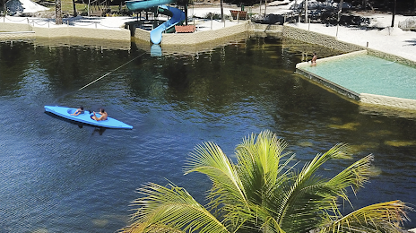
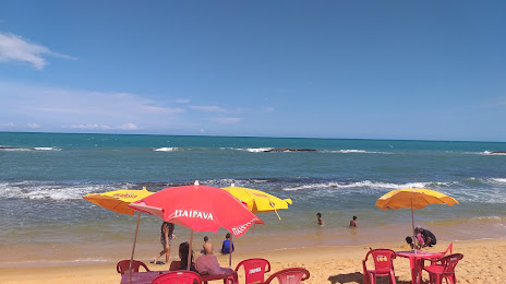
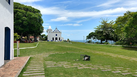
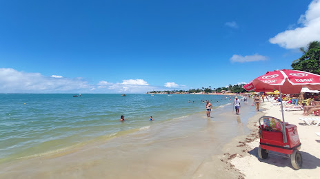
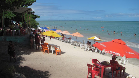
Santa Maria — Santa Cruz Cabrália distance, route on the map
Distance by car
Distance between Santa Maria, Rio Grande do Sul, Brazil and Santa Cruz Cabrália, Bay, Brazil by car is — km, or miles. To travel this distance by car, you need minute, or h.
Route on the map, driving directions
Car route Santa Maria — Santa Cruz Cabrália was created automatically. The road on the map is shown as a blue line. By moving the markers, you can create a new route through the points you need.
Distance by plane
If you decide to take a trip Santa Maria Santa Cruz Cabrália by plane, then you have to fly the distance — 2121 km or 1315 miles. It is marked on the map with a gray line (between two points in a straight line).
Flight time
Estimated flight time Santa Maria Santa Cruz Cabrália by plane at cruising speed 750 km / h will be — 2 h. and 49 min.
Direction of movement
Brazil, Santa Maria — right-hand traffic. Brazil, Santa Cruz Cabrália — right-hand traffic.
Difference in time
Santa Maria and Santa Cruz Cabrália are in the same time zone. Between them there is no time difference (UTC -3 America/Sao_Paulo).
Interesting Facts
Information on alternative ways to get to your destination.
The length of this distance is about 5.3% of the total length of the equator.
The percentage of the population is clearly shown in the graph:
Santa Maria — 249,224, Santa Cruz Cabrália — 19,545 residents (less by 229,679).
The cost of travel
Calculate the cost of the trip yourself using the fuel consumption calculator, changing the data in the table.