Yaroslavl Airport — Arti
Yaroslavl Airport — Rybnoye
Yaroslavl Airport — Konergino
Yaroslavl Airport — Kamennoye
Yaroslavl Airport — Rossoshanskiy Rayon
Yaroslavl Airport — Korolyov
Yaroslavl Airport — Korkino
Yaroslavl Airport — Georgiyevka
Yaroslavl Airport — Levashi
Yaroslavl Airport — Salairka
Yaroslavl Airport — Sovetsky
Yaroslavl Airport — Tarasov
Yaroslavl Airport — Nasontov
Yaroslavl Airport — Tangi-Chu
Yaroslavl Airport — Papulino
Yaroslavl Airport — Sokolova
Yaroslavl Airport — Rostoshi-2
Yaroslavl Airport — Zayukovo
Yaroslavl Airport — Malaya Purga
Shchedrino
Nagornyy
Yaroslavl
Skokovo
Legkovo
Myshkin
Levtsovo
Bezhetsk
Bakhmara
Akademicheskiy
Kuzhenkino
Bologoye
Berezayka
Lykoshino
Uglovka
Okulovka
Mytno
Zhary
Tosno
Fornosovo
Kovshovo
Torfyanoye
Prigorodnyy
Gatchina
Yaroslavl Airport — Arti
Yaroslavl Airport — Rybnoye
Yaroslavl Airport — Konergino
Yaroslavl Airport — Kamennoye
Yaroslavl Airport — Rossoshanskiy Rayon
Yaroslavl Airport — Korolyov
Yaroslavl Airport — Korkino
Yaroslavl Airport — Georgiyevka
Yaroslavl Airport — Levashi
Yaroslavl Airport — Salairka
Yaroslavl Airport — Sovetsky
Yaroslavl Airport — Tarasov
Yaroslavl Airport — Nasontov
Yaroslavl Airport — Tangi-Chu
Yaroslavl Airport — Papulino
Yaroslavl Airport — Sokolova
Yaroslavl Airport — Rostoshi-2
Yaroslavl Airport — Zayukovo
Yaroslavl Airport — Malaya Purga
Shchedrino
Nagornyy
Yaroslavl
Skokovo
Legkovo
Myshkin
Levtsovo
Bezhetsk
Bakhmara
Akademicheskiy
Kuzhenkino
Bologoye
Berezayka
Lykoshino
Uglovka
Okulovka
Mytno
Zhary
Tosno
Fornosovo
Kovshovo
Torfyanoye
Prigorodnyy
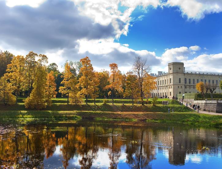
Gatchina
Yaroslavl Airport — Gatchina distance, route on the map
Distance by car
Distance between Yaroslavl Airport, Yaroslavskaya oblast', Russian Federation and Gatchina, Leningrad Oblast, Russian Federation by car is — km, or miles. To travel this distance by car, you need minute, or h.
Route on the map, driving directions
Car route Yaroslavl Airport — Gatchina was created automatically. The road on the map is shown as a blue line. By moving the markers, you can create a new route through the points you need.
Passing cities through which the car route passes: Tunoshna, Shchedrino, Nagornyy, Yaroslavl, Skokovo, Legkovo, Myshkin, Levtsovo, Bezhetsk, Bakhmara, Akademicheskiy, Kuzhenkino, Bologoye, Berezayka, Lykoshino, Uglovka, Okulovka, Mytno, Zhary, Tosno, Fornosovo, Kovshovo, Torfyanoye, Prigorodnyy, Gatchina.
Distance by plane
If you decide to take a trip Yaroslavl Airport Gatchina by plane, then you have to fly the distance — 624 km or 387 miles. It is marked on the map with a gray line (between two points in a straight line).
Flight time
Estimated flight time Yaroslavl Airport Gatchina by plane at cruising speed 750 km / h will be — 49 min.
Direction of movement
Russian Federation, Yaroslavl Airport — right-hand traffic. Russian Federation, Gatchina — right-hand traffic.
Difference in time
Yaroslavl Airport and Gatchina are in the same time zone. Between them there is no time difference (UTC +3 Europe/Moscow).
Interesting Facts
Information on alternative ways to get to your destination.
The length of this distance is about 1.6% of the total length of the equator.
The cost of travel
Calculate the cost of the trip yourself using the fuel consumption calculator, changing the data in the table.