
 Bolquère
Méolans-Revel
Marseillan
Kerlouan
Rocbaron
Neuillé
Montricher-Albanne
Clères
Seppois-le-Bas
Hauts-de-France
Yerres
Andilly
Vaufrey
Saint-Cyprien
Hours
Chalampé
Lescun
Kanfen
Vitry-en-Artois
Bolquère
Méolans-Revel
Marseillan
Kerlouan
Rocbaron
Neuillé
Montricher-Albanne
Clères
Seppois-le-Bas
Hauts-de-France
Yerres
Andilly
Vaufrey
Saint-Cyprien
Hours
Chalampé
Lescun
Kanfen
Vitry-en-Artois
Rombas on the map, France
Where is located Rombas
Exact location — Rombas, Moselle, Grand Est, France, marked on the map with a red marker.
Coordinates
Rombas, France coordinates in decimal format: latitude — 49.251254, longitude — 6.093352. When converted to degrees, minutes, seconds Rombas has the following coordinates: 49°15′4.51 north latitude and 6°5′36.07 east longitude.
Population
Rombas, Moselle, Grand Est, France, according to our data the population is — 10,942 residents, which is about 0% of the total population of the country (France).
Comparison of the population on the graph:
Exact time
Time zone for this location Rombas — UTC +2 Europe/Paris. Exact time — tuesday, 5 may 2024 year, 21 h. 18 minutes.
Sunrise and sunset
Rombas, sunrise and sunset data for a date — tuesday 14.05.2024.
| Sunrise | Sunset | Day (duration) |
|---|---|---|
| 05:56 -2 minutes | 21:07 +2 minutes | 15 h. 12 minutes. +4 minutes |
You can control the scale of the map using the auxiliary tools to find out exactly where it is located Rombas. When you change the scale of the map, the width of the ruler also changes (in kilometers and miles).
Nearby cities
The largest cities that are located nearby:
- Metz — 16 km
- Nancy — 62 km
- Saarbrücken
 (Germany) — 65 km
 - Trier (Germany) — 67 km
- Strasbourg — 143 km
- Reims — 149 km
- Liège
 (Belgium) — 157 km
 - Namur (Belgium) — 160 km
- Koblenz (Germany) — 161 km
- Aachen (Germany) — 168 km
- Karlsruhe (Germany) — 170 km
- Ludwigshafen (Germany) — 171 km
- Mannheim (Germany) — 172 km
- Charleroi (Belgium) — 173 km
- Mainz (Germany) — 174 km
- Wiesbaden (Germany) — 178 km
- Bonn (Germany) — 179 km
- Maastricht
 (Netherlands) — 179 km
 - Heidelberg (Germany) — 186 km
Distance to neighboring capitals:
- Brussels (Belgium) — 217 km
- Bern
 (Switzerland) — 275 km
 - Vaduz
 (Liechtenstein) — 346 km
 - Amsterdam (Netherlands) — 357 km
- London
 (United Kingdom) — 507 km
 - Prague
 (Czech Republic) — 607 km
 - Berlin (Germany) — 628 km
- Vienna
 (Austria) — 762 km
 - Andorra la Vella
 (Andorra) — 829 km
 - Copenhagen
 (Denmark) — 838 km
 - Rome
 (Italy) — 957 km
 - Warsaw
 (Poland) — 1099 km
 - Madrid
 (Spain) — 1248 km
 - Lisbon
 (Portugal) — 1684 km
 - Nicosia
 — 2715 km
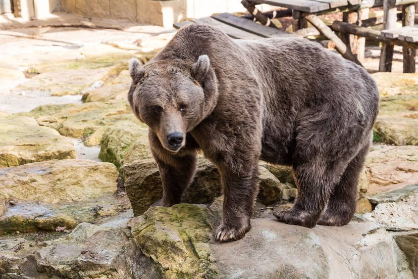
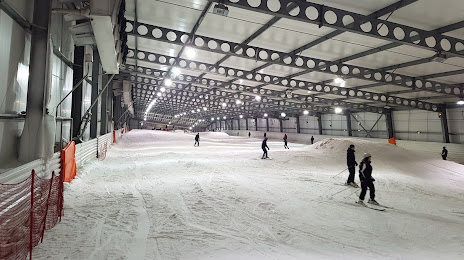
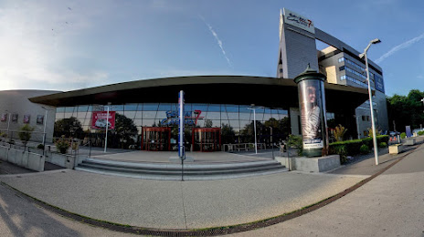
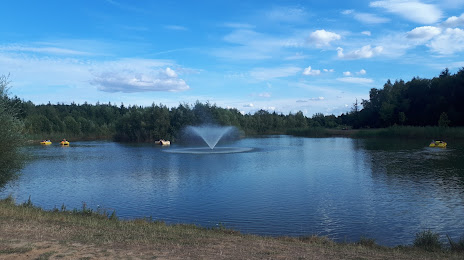
Attractions


Distance to the capital
Distance to the capital (Paris) is about — 276 km.