Potok — Sergino
Potok — Polovinka
Potok — Pavlovsk
Potok — Zarubino
Potok — Tommot
Potok — Novoye Lidzhe
Potok — Khanskaya
Potok — Osinovo
Potok — Kulunda
Potok — Mechta
Potok — Ivanteyevka
Potok — Sverdlovo
Potok — Uglich
Potok — Il'men'
Potok — Artemovskiy rayon
Potok — Pokachi
Potok — Yuzhnouralsk
Potok — Orlovsky District
Potok — Tambov
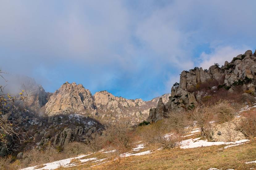
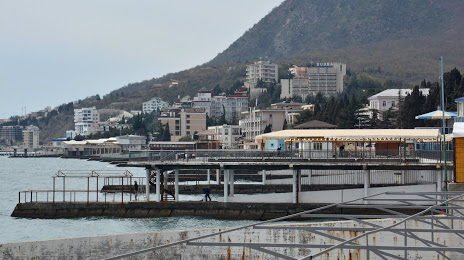
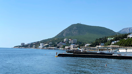
Potok — Alushta distance, route on the map
Distance by car
Distance between Potok, Leningradskaya oblast', Russian Federation and Alushta, Crimea by car is — km, or miles. To travel this distance by car, you need minute, or h.
Route on the map, driving directions
Car route Potok — Alushta was created automatically. The road on the map is shown as a blue line. By moving the markers, you can create a new route through the points you need.
Distance by plane
If you decide to take a trip Potok Alushta by plane, then you have to fly the distance — 1646 km or 1021 miles. It is marked on the map with a gray line (between two points in a straight line).
Flight time
Estimated flight time Potok Alushta by plane at cruising speed 750 km / h will be — 2 h. and 11 min.
Direction of movement
Russian Federation, Potok — right-hand traffic. Alushta — right-hand traffic.
Difference in time
Potok and Alushta are in the same time zone. Between them there is no time difference (UTC +3 Europe/Moscow).
Interesting Facts
Information on alternative ways to get to your destination.
The length of this distance is about 4.1% of the total length of the equator.
The cost of travel
Calculate the cost of the trip yourself using the fuel consumption calculator, changing the data in the table.