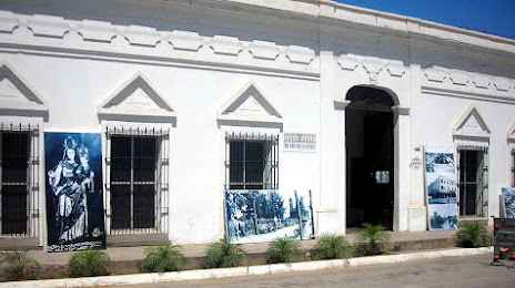
Valle de Allende — Nuevo Ideal
Valle de Allende — Mazatlán
Valle de Allende — Naucalpan
Valle de Allende — Yahualica de González Gallo
Valle de Allende — Castaños Municipality
Valle de Allende — Yabteclum
Valle de Allende — Ixtepec
Valle de Allende — Tlalchapa
Valle de Allende — General Roberto Fierro Villalobos International Airport
Valle de Allende — Othón P. Blanco
Valle de Allende — Bamoa station
Valle de Allende — Border
Valle de Allende — Valle de Santiago
Valle de Allende — Sinaloa
Valle de Allende — Chocholá
Valle de Allende — Tolcayuca
Valle de Allende — Alvarado
Valle de Allende — Suaqui
Valle de Allende — Naco
Parral
San Francisco del Oro Municipality
Soyatita
Tameapa
Badiraguato
Pericos
Guamúchil
Salvador Alvarado Municipality
Valle de Allende — Guasave distance, route on the map
Distance by car
Distance between Valle de Allende, Chihuahua, Mexico and Guasave, Sinaloa, Mexico by car is — km, or miles. To travel this distance by car, you need minute, or h.
Route on the map, driving directions
Car route Valle de Allende — Guasave was created automatically. The road on the map is shown as a blue line. By moving the markers, you can create a new route through the points you need.
Passing cities through which the car route passes: Parral, Parral, San Francisco del Oro Municipality, Soyatita, Tameapa, Badiraguato, Pericos, Guamúchil, Salvador Alvarado Municipality.
Distance by plane
If you decide to take a trip Valle de Allende Guasave by plane, then you have to fly the distance — 342 km or 212 miles. It is marked on the map with a gray line (between two points in a straight line).
Flight time
Estimated flight time Valle de Allende Guasave by plane at cruising speed 750 km / h will be — 27 min.
Direction of movement
Mexico, Valle de Allende — right-hand traffic. Mexico, Guasave — right-hand traffic.
Difference in time
Valle de Allende and Guasave are in the same time zone. Between them there is no time difference (UTC -7 America/Mazatlan).
Interesting Facts
Information on alternative ways to get to your destination.
The length of this distance is about 0.9% of the total length of the equator.
The percentage of the population is clearly shown in the graph:
Valle de Allende — 4,198 (less by 64,254), Guasave — 68,452 residents.
The cost of travel
Calculate the cost of the trip yourself using the fuel consumption calculator, changing the data in the table.