San Mateo — Santa María Ixhuatán
San Mateo — Ciudad Pedro de Alvarado
San Mateo — Palin
San Mateo — Santa Cruz Naranjo
San Mateo — Colonia Los Llanos
San Mateo — Fray Bartolomé de las Casas
San Mateo — Momostenango
San Mateo — Lancetillo La Parroquia
San Mateo — San Rafael La Independencia
San Mateo — Canillá
San Mateo — San Rafael Petzal
San Mateo — Ingenieros
San Mateo — El Asintal
San Mateo — Sabaneta
San Mateo — Santa Lucía La Reforma
San Mateo — Santa Cruz
San Mateo — Santa Cruz Barillas
San Mateo — Santa María de Jesús
San Mateo — Cunén
Olintepeque
Quetzaltenango
Salcajá
Cuatro Caminos
Santa Catarina Ixtahuacan
Cantel
Nahuala
St. Lucia Utatlán
Santa María Visitación
Santa Clara La Laguna
San Pablo La Laguna
San Juan La Laguna
San Pedro La Laguna
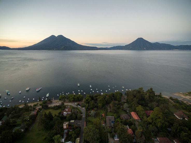
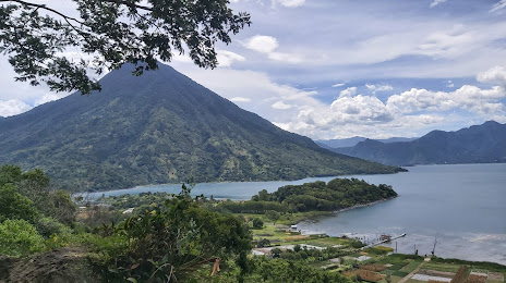
Santiago Atitlán
San Mateo — Santa María Ixhuatán
San Mateo — Ciudad Pedro de Alvarado
San Mateo — Palin
San Mateo — Santa Cruz Naranjo
San Mateo — Colonia Los Llanos
San Mateo — Fray Bartolomé de las Casas
San Mateo — Momostenango
San Mateo — Lancetillo La Parroquia
San Mateo — San Rafael La Independencia
San Mateo — Canillá
San Mateo — San Rafael Petzal
San Mateo — Ingenieros
San Mateo — El Asintal
San Mateo — Sabaneta
San Mateo — Santa Lucía La Reforma
San Mateo — Santa Cruz
San Mateo — Santa Cruz Barillas
San Mateo — Santa María de Jesús
San Mateo — Cunén
Olintepeque
Quetzaltenango
Salcajá
Cuatro Caminos
Santa Catarina Ixtahuacan
Cantel
Nahuala
St. Lucia Utatlán
Santa María Visitación
Santa Clara La Laguna
San Pablo La Laguna
San Juan La Laguna
San Pedro La Laguna
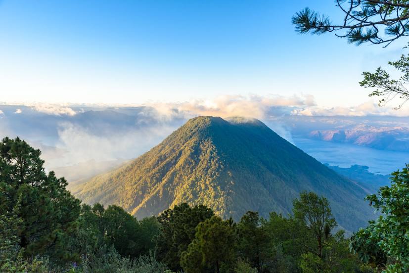
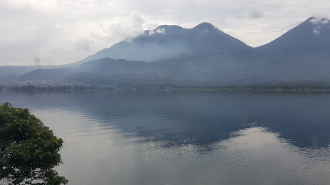
Santiago Atitlán
San Mateo — Santiago Atitlán distance, route on the map
Distance by car
Distance between San Mateo, Quetzaltenango Department, Guatemala and Santiago Atitlán, Solola, Guatemala by car is — km, or miles. To travel this distance by car, you need minute, or h.
Route on the map, driving directions
Car route San Mateo — Santiago Atitlán was created automatically. The road on the map is shown as a blue line. By moving the markers, you can create a new route through the points you need.
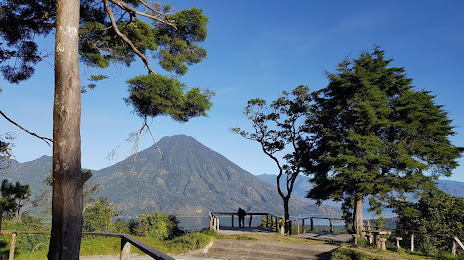
Passing cities through which the car route passes: Quetzaltenango, Olintepeque, Quetzaltenango, Salcajá, Cuatro Caminos, Santa Catarina Ixtahuacan, Cantel, Nahuala, St. Lucia Utatlán, Santa María Visitación, Santa Clara La Laguna, San Pablo La Laguna, San Juan La Laguna, San Pedro La Laguna, Santiago Atitlán.
Distance by plane
If you decide to take a trip San Mateo Santiago Atitlán by plane, then you have to fly the distance — 46 km or 29 miles. It is marked on the map with a gray line (between two points in a straight line).
Flight time
Estimated flight time San Mateo Santiago Atitlán by plane at cruising speed 750 km / h will be — 3 min.
Direction of movement
Guatemala, San Mateo — right-hand traffic. Guatemala, Santiago Atitlán — right-hand traffic.
Difference in time
San Mateo and Santiago Atitlán are in the same time zone. Between them there is no time difference (UTC -6 America/Guatemala).
Interesting Facts
Information on alternative ways to get to your destination.
The length of this distance is about 0.1% of the total length of the equator.
The percentage of the population is clearly shown in the graph:
San Mateo — 5,534 (less by 27,091), Santiago Atitlán — 32,625 residents.
The cost of travel
Calculate the cost of the trip yourself using the fuel consumption calculator, changing the data in the table.