
 Zarautz
Portosín
Ribeira
Beldoña
El Torno
Llaberia
Peñarroya de Tastavins
Luyando
Cala Galdana
Sant Mateu
Luces
Tomonde
Adriano
San Juan de los Terreros
La Estrada
Navarredonda de Gredos
Moaña
Sort
Valdebótoa
Zarautz
Portosín
Ribeira
Beldoña
El Torno
Llaberia
Peñarroya de Tastavins
Luyando
Cala Galdana
Sant Mateu
Luces
Tomonde
Adriano
San Juan de los Terreros
La Estrada
Navarredonda de Gredos
Moaña
Sort
Valdebótoa
Pola de Siero on the map, Spain
Where is located Pola de Siero
Exact location — Pola de Siero, Asturias, Principado de Asturias, Spain, marked on the map with a red marker.
Coordinates
Pola de Siero, Spain coordinates in decimal format: latitude — 43.3915224, longitude — -5.660825. When converted to degrees, minutes, seconds Pola de Siero has the following coordinates: 43°23′29.48 north latitude and -5°39′38.97 east longitude.
Population
Pola de Siero, Asturias, Principado de Asturias, Spain, according to our data the population is — 51,181 residents, which is about 0.1% of the total population of the country (Spain).
Comparison of the population on the graph:
Exact time
Time zone for this location Pola de Siero — UTC +2 Europe/Madrid. Exact time — saturday, 5 may 2024 year, 20 h. 31 minute.
Sunrise and sunset
Pola de Siero, sunrise and sunset data for a date — saturday 11.05.2024.
| Sunrise | Sunset | Day (duration) |
|---|---|---|
| 07:05 -1 minute | 21:32 +1 minute | 14 h. 30 minutes. +2 minutes |
You can control the scale of the map using the auxiliary tools to find out exactly where it is located Pola de Siero. When you change the scale of the map, the width of the ruler also changes (in kilometers and miles).
Nearby cities
The largest cities that are located nearby:
- Oviedo — 16 km
- Gijón — 16 km
- León — 88 km
- Santander — 149 km
- Burgos — 198 km
- Valladolid — 207 km
- Ourense — 215 km
- Bilbao — 220 km
- A Coruña — 221 km
- Vitoria-Gasteiz — 249 km
- Salamanca — 268 km
- Vigo — 281 km
- Logroño — 282 km
- San Sebastián — 296 km
- Braga
 (Portugal) — 307 km
 - Pamplona — 332 km
- Porto (Portugal) — 349 km
- Alcobendas — 358 km
- Alcorcón — 370 km
Distance to neighboring capitals:
- Andorra la Vella
 (Andorra) — 593 km
 - Lisbon (Portugal) — 596 km
- Paris
 (France) — 866 km
 - Paris (France) — 866 km
- Rabat
 (Morocco) — 1053 km
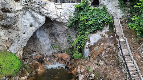
Attractions

Distance to the capital
Distance to the capital (Madrid) is about — 368 km.