Baykit — Pokoynoye
Baykit — Kedrovoye
Baykit — Taseyevo
Baykit — Grabovo
Baykit — Bazarnosyzgansky District
Baykit — Yershov
Baykit — Arkhangelskoye
Baykit — Gari
Baykit — Zelenogorsk
Baykit — Yushkovo
Baykit — Petrovka
Baykit — Obilnoye
Baykit — The international airport Ufa
Baykit — Zakharov
Baykit — Zlatoustovsk
Baykit — Surikovo
Baykit — Mineralnoye
Baykit — Polyana
Baykit — Nizhneimeretinskaya Bukhta
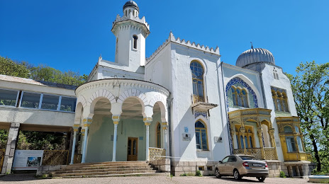
Baykit — Zheleznovodsk distance, route on the map
Distance by car
Distance between Baykit, Krasnoyarsk Krai, Russian Federation and Zheleznovodsk, Stavropol Krai, Russian Federation by car is — km, or miles. To travel this distance by car, you need minute, or h.
Route on the map, driving directions
Car route Baykit — Zheleznovodsk was created automatically. The road on the map is shown as a blue line. By moving the markers, you can create a new route through the points you need.
Distance by plane
If you decide to take a trip Baykit Zheleznovodsk by plane, then you have to fly the distance — 3925 km or 2434 miles. It is marked on the map with a gray line (between two points in a straight line).
Flight time
Estimated flight time Baykit Zheleznovodsk by plane at cruising speed 750 km / h will be — 5 h. and 14 min.
Direction of movement
Russian Federation, Baykit — right-hand traffic. Russian Federation, Zheleznovodsk — right-hand traffic.
Difference in time
Baykit and Zheleznovodsk are in different time zones. The time difference is 4 hours (UTC +7 Asia/Krasnoyarsk, UTC +3 Europe/Moscow).
Interesting Facts
Information on alternative ways to get to your destination.
The length of this distance is about 9.8% of the total length of the equator.
The percentage of the population is clearly shown in the graph:
Baykit — 3,748 (less by 20,884), Zheleznovodsk — 24,632 residents.
The cost of travel
Calculate the cost of the trip yourself using the fuel consumption calculator, changing the data in the table.