Nova Xavantina — Capão do Valo
Nova Xavantina — Rio Branco
Nova Xavantina — Paulo Afonso
Nova Xavantina — Piedade
Nova Xavantina — Uchoa
Nova Xavantina — Ponta Porã
Nova Xavantina — Paraíso do Tocantins
Nova Xavantina — Porto Xavier
Nova Xavantina — Rio Branco
Nova Xavantina — Mococa
Nova Xavantina — Marília
Nova Xavantina — Feijó
Nova Xavantina — Uruguaiana International Airport
Nova Xavantina — Brasilia
Nova Xavantina — Santa Rosa de Lima
Nova Xavantina — Coremas
Nova Xavantina — Paulinia
Nova Xavantina — Espinho
Nova Xavantina — Bacupari
Jussara
Goias
Inhumas
Inhumas
Brazabrantes
Goianira
Goiânia
Goiânia Airport
Senador Canedo
Luziânia
Cristalina
Paracatu
João Pinheiro
Três Marias
Paraopeba
Sete Lagoas
Ribeirão das Neves
Ribeirão das Neves
Contagem
Calafate
Prado
Jaraguá
Sabará
Nova União
João Monlevade
São Domingos do Prata
São Domingos do Prata
Rio Casca
Santo Antônio do Grama
Abre Campo
Martins Soares
Irupi
Ibatiba
Conceição do Castelo
Venda Nova do Imigrante
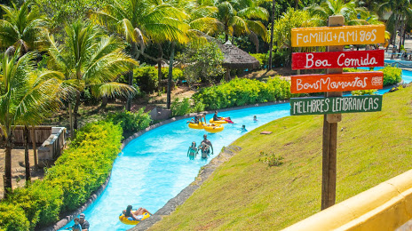
Marechal Floriano
Domingos Martins
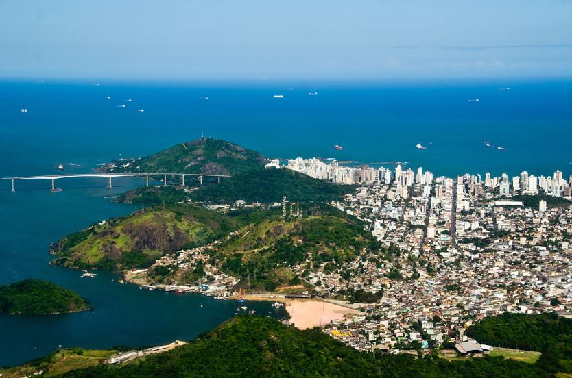
Viana
Viana
Nova Xavantina — Capão do Valo
Nova Xavantina — Rio Branco
Nova Xavantina — Paulo Afonso
Nova Xavantina — Piedade
Nova Xavantina — Uchoa
Nova Xavantina — Ponta Porã
Nova Xavantina — Paraíso do Tocantins
Nova Xavantina — Porto Xavier
Nova Xavantina — Rio Branco
Nova Xavantina — Mococa
Nova Xavantina — Marília
Nova Xavantina — Feijó
Nova Xavantina — Uruguaiana International Airport
Nova Xavantina — Brasilia
Nova Xavantina — Santa Rosa de Lima
Nova Xavantina — Coremas
Nova Xavantina — Paulinia
Nova Xavantina — Espinho
Nova Xavantina — Bacupari
Jussara
Goias
Inhumas
Inhumas
Brazabrantes
Goianira
Goiânia
Goiânia Airport
Senador Canedo
Luziânia
Cristalina
Paracatu
João Pinheiro
Três Marias
Paraopeba
Sete Lagoas
Ribeirão das Neves
Ribeirão das Neves
Contagem
Calafate
Prado
Jaraguá
Sabará
Nova União
João Monlevade
São Domingos do Prata
São Domingos do Prata
Rio Casca
Santo Antônio do Grama
Abre Campo
Martins Soares
Irupi
Ibatiba
Conceição do Castelo
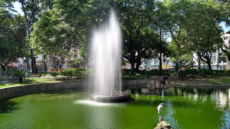
Venda Nova do Imigrante
Marechal Floriano
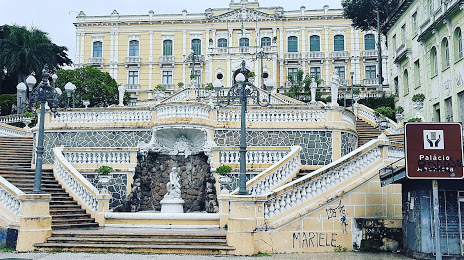
Domingos Martins
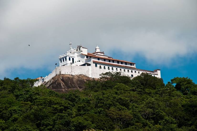
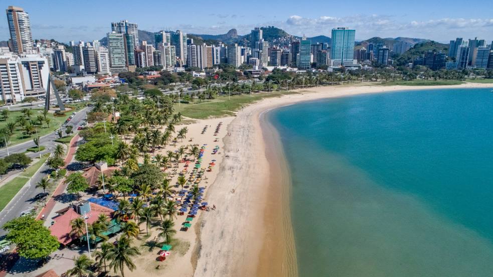
Viana
Viana
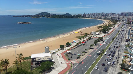
Nova Xavantina — Vila Velha distance, route on the map
Distance by car
Distance between Nova Xavantina, Mato Grosso, Brazil and Vila Velha, Espírito Santo, Brazil by car is — km, or miles. To travel this distance by car, you need minute, or h.
Route on the map, driving directions
Car route Nova Xavantina — Vila Velha was created automatically. The road on the map is shown as a blue line. By moving the markers, you can create a new route through the points you need.
Passing cities through which the car route passes: Barra do Garças, Jussara, Goias, Inhumas, Inhumas, Brazabrantes, Goianira, Goiânia, Goiânia Airport, Senador Canedo, Luziânia, Cristalina, Paracatu, João Pinheiro, Três Marias, Paraopeba, Sete Lagoas, Ribeirão das Neves, Ribeirão das Neves, Contagem, Calafate, Prado, Jaraguá, Sabará, Nova União, João Monlevade, São Domingos do Prata, São Domingos do Prata, Rio Casca, Santo Antônio do Grama, Abre Campo, Martins Soares, Irupi, Ibatiba, Conceição do Castelo, Venda Nova do Imigrante, Marechal Floriano, Domingos Martins, Viana, Viana.
Distance by plane
If you decide to take a trip Nova Xavantina Vila Velha by plane, then you have to fly the distance — 1426 km or 884 miles. It is marked on the map with a gray line (between two points in a straight line).
Flight time
Estimated flight time Nova Xavantina Vila Velha by plane at cruising speed 750 km / h will be — 1 h. and 54 min.
Direction of movement
Brazil, Nova Xavantina — right-hand traffic. Brazil, Vila Velha — right-hand traffic.
Difference in time
Nova Xavantina and Vila Velha are in different time zones. The time difference is 1 hour (UTC -4 America/Campo_Grande, UTC -3 America/Sao_Paulo).
Interesting Facts
Information on alternative ways to get to your destination.
The length of this distance is about 3.6% of the total length of the equator.
The cost of travel
Calculate the cost of the trip yourself using the fuel consumption calculator, changing the data in the table.