Nova Xavantina — Santa Polonia
Nova Xavantina — Serra Branca
Nova Xavantina — Custódia
Nova Xavantina — Rio Novo do Sul
Nova Xavantina — Mucuri
Nova Xavantina — Imperatriz
Nova Xavantina — Olímpio Noronha
Nova Xavantina — Oeiras
Nova Xavantina — Minas do Camaquã
Nova Xavantina — Santo Antônio da Alegria
Nova Xavantina — Pindamonhangaba
Nova Xavantina — Fervedouro
Nova Xavantina — Amaral Ferrador
Nova Xavantina — Cujubim
Nova Xavantina — Itapira
Nova Xavantina — Farias Brito
Nova Xavantina — Panorama
Nova Xavantina — Luz
Nova Xavantina — Lucena
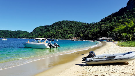
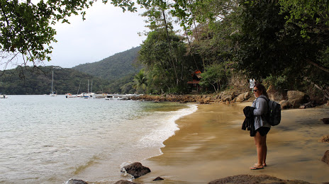
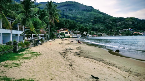
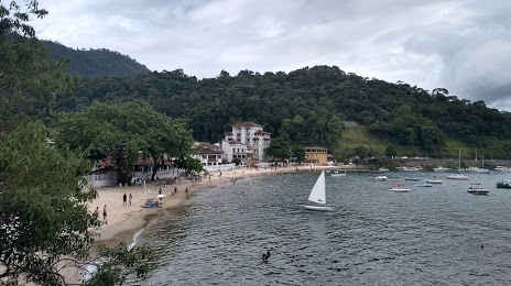
Nova Xavantina — Angra dos Reis distance, route on the map
Distance by car
Distance between Nova Xavantina, Mato Grosso, Brazil and Angra dos Reis, State of Rio de Janeiro, Brazil by car is — km, or miles. To travel this distance by car, you need minute, or h.
Route on the map, driving directions
Car route Nova Xavantina — Angra dos Reis was created automatically. The road on the map is shown as a blue line. By moving the markers, you can create a new route through the points you need.
Distance by plane
If you decide to take a trip Nova Xavantina Angra dos Reis by plane, then you have to fly the distance — 1255 km or 778 miles. It is marked on the map with a gray line (between two points in a straight line).
Flight time
Estimated flight time Nova Xavantina Angra dos Reis by plane at cruising speed 750 km / h will be — 1 h. and 40 min.
Direction of movement
Brazil, Nova Xavantina — right-hand traffic. Brazil, Angra dos Reis — right-hand traffic.
Difference in time
Nova Xavantina and Angra dos Reis are in different time zones. The time difference is 1 hour (UTC -4 America/Campo_Grande, UTC -3 America/Sao_Paulo).
Interesting Facts
Information on alternative ways to get to your destination.
The length of this distance is about 3.1% of the total length of the equator.
The cost of travel
Calculate the cost of the trip yourself using the fuel consumption calculator, changing the data in the table.