São Carlos — Catalão
São Carlos — São João Batista
São Carlos — Harmonia
São Carlos — Baixo Guandu
São Carlos — Laurentino
São Carlos — Araçuaí
São Carlos — Campinas
São Carlos — Alto do Rodrigues
São Carlos — Igarassu
São Carlos — Pau Brasil
São Carlos — Manga
São Carlos — Machadinho
São Carlos — Araruna
São Carlos — Amaral Ferrador
São Carlos — Piracaia
São Carlos — Viamão
São Carlos — Miranda
São Carlos — Panorama
São Carlos — Sena Madureira
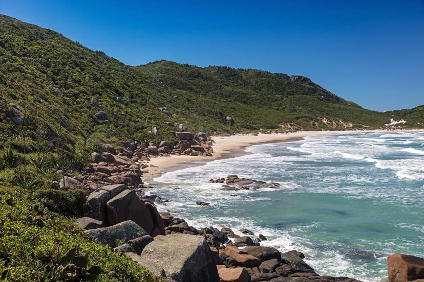
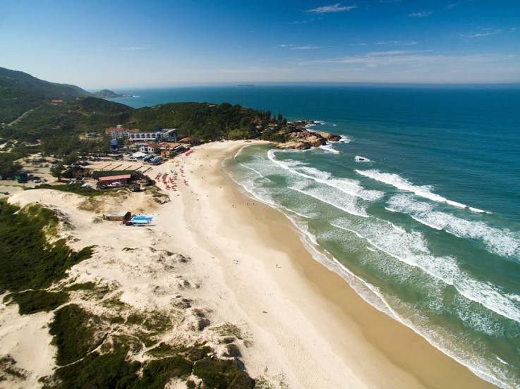
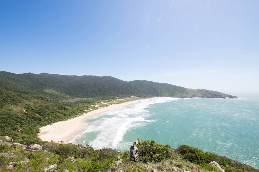
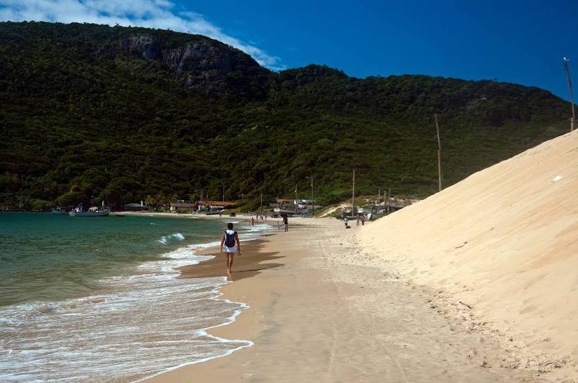
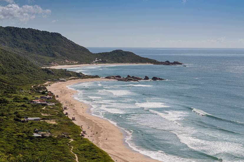
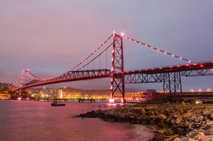
São Carlos — Florianópolis distance, route on the map
Distance by car
Distance between São Carlos, São Paulo, Brazil and Florianópolis, Santa Catarina, Brazil by car is — km, or miles. To travel this distance by car, you need minute, or h.
Route on the map, driving directions
Car route São Carlos — Florianópolis was created automatically. The road on the map is shown as a blue line. By moving the markers, you can create a new route through the points you need.
Distance by plane
If you decide to take a trip São Carlos Florianópolis by plane, then you have to fly the distance — 625 km or 388 miles. It is marked on the map with a gray line (between two points in a straight line).
Flight time
Estimated flight time São Carlos Florianópolis by plane at cruising speed 750 km / h will be — 50 min.
Direction of movement
Brazil, São Carlos — right-hand traffic. Brazil, Florianópolis — right-hand traffic.
Difference in time
São Carlos and Florianópolis are in the same time zone. Between them there is no time difference (UTC -3 America/Sao_Paulo).
Interesting Facts
Information on alternative ways to get to your destination.
The length of this distance is about 1.6% of the total length of the equator.
The percentage of the population is clearly shown in the graph:
São Carlos — 205,039 (less by 207,685), Florianópolis — 412,724 residents.
The cost of travel
Calculate the cost of the trip yourself using the fuel consumption calculator, changing the data in the table.