Teresina — Martins Soares
Teresina — Elísio Medrado
Teresina — Leandro Ferreira
Teresina — Tomazina
Teresina — Itaobim
Teresina — Urbano Santos
Teresina — Adustina
Teresina — Brochier
Teresina — Cajazeiras
Teresina — Camaçari
Teresina — Berlenga
Teresina — Canela
Teresina — Panamá
Teresina — Minas do Camaquã
Teresina — Paulo Frontin
Teresina — Jales
Teresina — Resende
Teresina — Quixabeira
Teresina — Pestana
Altos
Campo Maior
Capitão de Campos
Piripiri
Tianguá
Frecheirinha
Sobral
Forquilha
Caucaia
Maracanaú
Fortaleza
Eusébio
Aquiraz
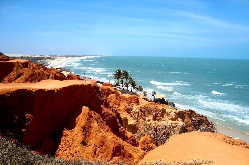
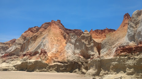
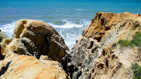
Teresina — Beberibe distance, route on the map
Distance by car
Distance between Teresina, Piauí, Brazil and Beberibe, Ceará, Brazil by car is — km, or miles. To travel this distance by car, you need minute, or h.
Route on the map, driving directions
Car route Teresina — Beberibe was created automatically. The road on the map is shown as a blue line. By moving the markers, you can create a new route through the points you need.
Passing cities through which the car route passes: Teresina, Altos, Campo Maior, Capitão de Campos, Piripiri, Tianguá, Frecheirinha, Sobral, Forquilha, Caucaia, Maracanaú, Fortaleza, Eusébio, Aquiraz.
Distance by plane
If you decide to take a trip Teresina Beberibe by plane, then you have to fly the distance — 528 km or 327 miles. It is marked on the map with a gray line (between two points in a straight line).
Flight time
Estimated flight time Teresina Beberibe by plane at cruising speed 750 km / h will be — 42 min.
Direction of movement
Brazil, Teresina — right-hand traffic. Brazil, Beberibe — right-hand traffic.
Difference in time
Teresina and Beberibe are in the same time zone. Between them there is no time difference (UTC -3 America/Fortaleza).
Interesting Facts
Information on alternative ways to get to your destination.
The length of this distance is about 1.3% of the total length of the equator.
The percentage of the population is clearly shown in the graph:
Teresina — 744,526, Beberibe — 37,028 residents (less by 707,498).
The cost of travel
Calculate the cost of the trip yourself using the fuel consumption calculator, changing the data in the table.