Paulo Afonso — Centro
Paulo Afonso — Feliz
Paulo Afonso — Nova Pádua
Paulo Afonso — Quiriri
Paulo Afonso — Itumbiara
Paulo Afonso — Taiba
Paulo Afonso — Itapema
Paulo Afonso — Torres
Paulo Afonso — Passo do Sobrado
Paulo Afonso — Cocal
Paulo Afonso — Pardinho
Paulo Afonso — Caldas
Paulo Afonso — Jarinu
Paulo Afonso — Corumbá
Paulo Afonso — São Pedro
Paulo Afonso — São Luiz Gonzaga
Paulo Afonso — Aparecida
Paulo Afonso — Itaquitinga
Paulo Afonso — Bandeira do Sul
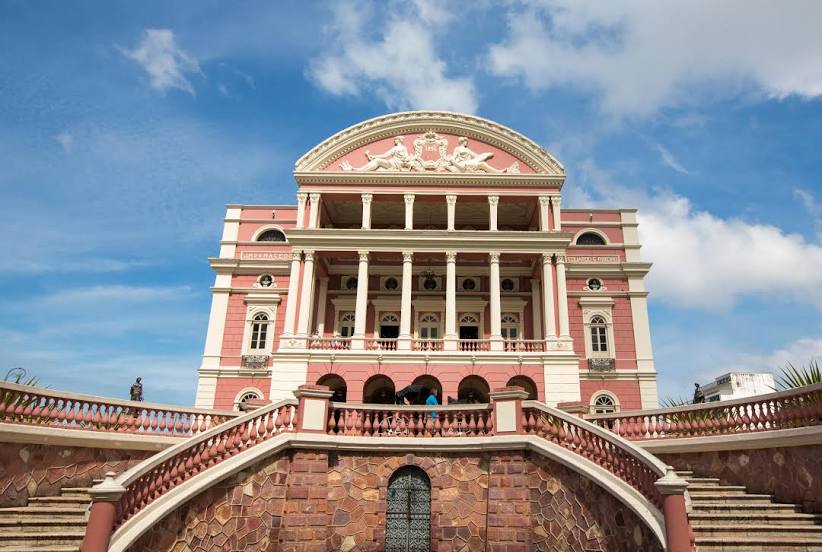
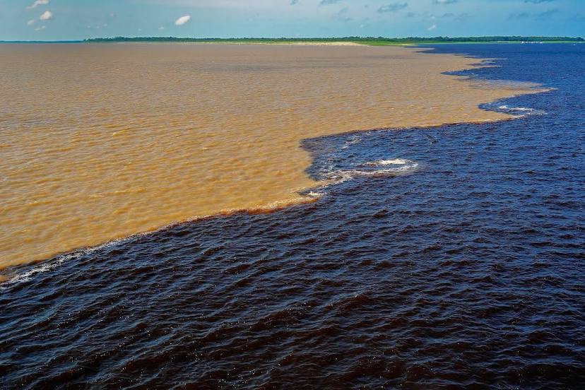
Paulo Afonso
Sítio das Chagas
Cícero Dantas
Ribeira do Pombal
Tucano
Araci
Teofilândia
Serrinha
Santa Bárbara
Feira de Santana
Santo Estêvão
Itaberaba
Palmeiras
Seabra
Ibotirama
Barreiras
Posse
Vila Boa
Formosa
Planaltina
Brasilia
35
Taguatinga
Carro
Pirenópolis
Goias
Jussara
Barra do Garças
Primavera do Leste
Campo Verde
Chapada dos Guimarães
Rosário Oeste
Nobres
Diamantino
Sapezal
Comodoro
Zico
Vilhena
Pimenta Bueno
Cacoal
Presidente Médici
Ji-Paraná
Ouro Preto do Oeste
Jaru
Ariquemes
Itapuã do Oeste
Porto Velho
Humaitá
Careiro
Paulo Afonso — Centro
Paulo Afonso — Feliz
Paulo Afonso — Nova Pádua
Paulo Afonso — Quiriri
Paulo Afonso — Itumbiara
Paulo Afonso — Taiba
Paulo Afonso — Itapema
Paulo Afonso — Torres
Paulo Afonso — Passo do Sobrado
Paulo Afonso — Cocal
Paulo Afonso — Pardinho
Paulo Afonso — Caldas
Paulo Afonso — Jarinu
Paulo Afonso — Corumbá
Paulo Afonso — São Pedro
Paulo Afonso — São Luiz Gonzaga
Paulo Afonso — Aparecida
Paulo Afonso — Itaquitinga
Paulo Afonso — Bandeira do Sul
Paulo Afonso
Sítio das Chagas
Cícero Dantas
Ribeira do Pombal
Tucano
Araci
Teofilândia
Serrinha
Santa Bárbara
Feira de Santana
Santo Estêvão
Itaberaba
Palmeiras
Seabra
Ibotirama
Barreiras
Posse
Vila Boa
Formosa
Planaltina
Brasilia
35
Taguatinga
Carro
Pirenópolis
Goias
Jussara
Barra do Garças
Primavera do Leste
Campo Verde
Chapada dos Guimarães
Rosário Oeste
Nobres
Diamantino
Sapezal
Comodoro
Zico
Vilhena
Pimenta Bueno
Cacoal
Presidente Médici
Ji-Paraná
Ouro Preto do Oeste
Jaru
Ariquemes
Itapuã do Oeste
Porto Velho
Humaitá
Careiro
Paulo Afonso — Manaus distance, route on the map
Distance by car
Distance between Paulo Afonso, State of Bahia, Brazil and Manaus, Amazonas, Brazil by car is — km, or miles. To travel this distance by car, you need minute, or h.
Route on the map, driving directions
Car route Paulo Afonso — Manaus was created automatically. The road on the map is shown as a blue line. By moving the markers, you can create a new route through the points you need.
Passing cities through which the car route passes: Paulo Afonso, Paulo Afonso, Sítio das Chagas, Cícero Dantas, Ribeira do Pombal, Tucano, Araci, Teofilândia, Serrinha, Santa Bárbara, Feira de Santana, Santo Estêvão, Itaberaba, Palmeiras, Seabra, Ibotirama, Barreiras, Posse, Vila Boa, Formosa, Planaltina, Brasilia, 35, Taguatinga, Carro, Pirenópolis, Goias, Jussara, Barra do Garças, Primavera do Leste, Campo Verde, Chapada dos Guimarães, Rosário Oeste, Nobres, Diamantino, Sapezal, Comodoro, Zico, Vilhena, Pimenta Bueno, Cacoal, Presidente Médici, Ji-Paraná, Ouro Preto do Oeste, Jaru, Ariquemes, Itapuã do Oeste, Porto Velho, Humaitá, Careiro.
Distance by plane
If you decide to take a trip Paulo Afonso Manaus by plane, then you have to fly the distance — 2506 km or 1554 miles. It is marked on the map with a gray line (between two points in a straight line).
Flight time
Estimated flight time Paulo Afonso Manaus by plane at cruising speed 750 km / h will be — 3 h. and 20 min.
Direction of movement
Brazil, Paulo Afonso — right-hand traffic. Brazil, Manaus — right-hand traffic.
Difference in time
Paulo Afonso and Manaus are in different time zones. The time difference is 1 hour (UTC -3 America/Fortaleza, UTC -4 America/Boa_Vista).
Interesting Facts
Information on alternative ways to get to your destination.
The length of this distance is about 6.3% of the total length of the equator.
The cost of travel
Calculate the cost of the trip yourself using the fuel consumption calculator, changing the data in the table.