 Cornwall
Collingwood
Owen Sound
Lethbridge
Fort McMurray
Richmond
McGregor
Bala
Westmount
New Westminster
Grande Prairie
Wainwright
Nisku
Leduc
Duncan
Nanaimo
Salmon Arm
Sherwood Park
Airdrie
Cornwall
Collingwood
Owen Sound
Lethbridge
Fort McMurray
Richmond
McGregor
Bala
Westmount
New Westminster
Grande Prairie
Wainwright
Nisku
Leduc
Duncan
Nanaimo
Salmon Arm
Sherwood Park
Airdrie
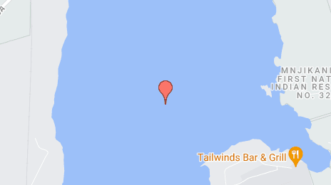
Orillia on the map, Canada
Where is located Orillia
Exact location — Orillia, Simcoe County, Ontario, Canada, marked on the map with a red marker.
Coordinates
Orillia, Canada coordinates in decimal format: latitude — 44.6082465, longitude — -79.4196783. When converted to degrees, minutes, seconds Orillia has the following coordinates: 44°36′29.69 north latitude and -79°25′10.84 east longitude.
Population
Orillia, Simcoe County, Ontario, Canada, according to our data the population is — 30,179 residents, which is about 0.1% of the total population of the country (Canada).
Comparison of the population on the graph:
Exact time
Time zone for this location Orillia — UTC -4 America/Toronto. Exact time — friday, 5 may 2024 year, 13 h. 09 minutes.
Sunrise and sunset
Orillia, sunrise and sunset data for a date — friday 10.05.2024.
| Sunrise | Sunset | Day (duration) |
|---|---|---|
| 05:58 -1 minute | 20:29 +1 minute | 14 h. 30 minutes. +2 minutes |
You can control the scale of the map using the auxiliary tools to find out exactly where it is located Orillia. When you change the scale of the map, the width of the ruler also changes (in kilometers and miles).
Nearby cities
The largest cities that are located nearby:
- Barrie — 32 km
- Richmond Hill — 80 km
- Markham — 83 km
- Vaughan — 86 km
- Whitby — 87 km
- Oshawa — 90 km
- Brampton — 101 km
- Toronto — 106 km
- Mississauga — 114 km
- Oakville — 128 km
- Guelph — 135 km
- Burlington — 145 km
- Waterloo — 154 km
- Hamilton — 154 km
- Cambridge — 155 km
- Kitchener — 157 km
- Saint Catharines — 161 km
- Amherst
 (United States) — 188 km
 - Buffalo (United States) — 195 km
Distance to neighboring capitals:
- Washington (United States) — 664 km
- Nuuk
 (Greenland) — 2774 km
 - Saint John
 (Puerto Rico) — 3160 km
 - Mexico City
 (Mexico) — 3341 km
 - Belgrade
 (Serbia) — 7331 km
 - Podgorica
 (Montenegro) — 7425 km
 - Hagåtña
 (Guam) — 12174 km
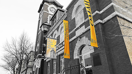
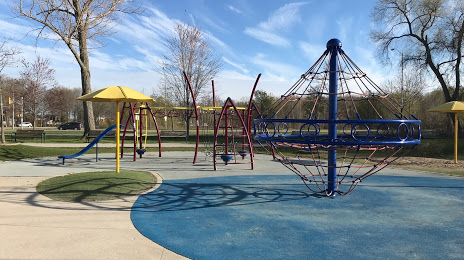
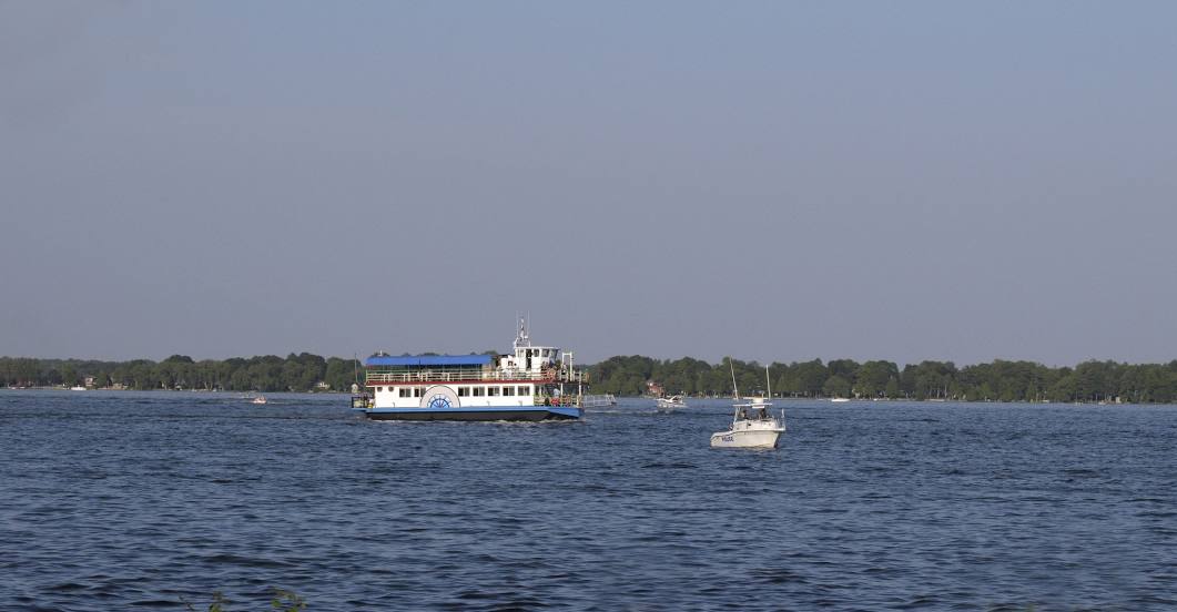
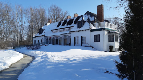
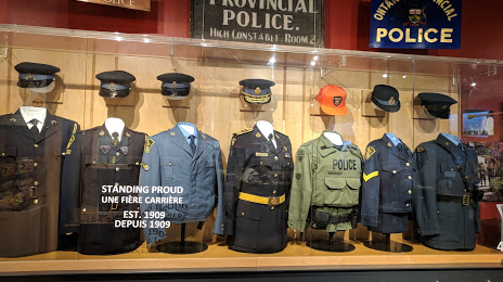
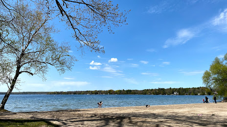
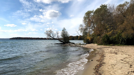
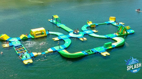
Attractions


Distance to the capital
Distance to the capital (Ottawa) is about — 306 km.