Victoria — Guanambi
Victoria — Cabeceiras
Victoria — Itapetinga
Victoria — Barreiras
Victoria — Cambuci
Victoria — Viamão
Victoria — Cardeal
Victoria — Belterra
Victoria — Santa Rita de Caldas
Victoria — São Miguel do Iguaçu
Victoria — Várzea da Palma
Victoria — Alvorada de Minas
Victoria — Gramados
Victoria — Campos Sales
Victoria — São Vicente
Victoria — Quixadá
Victoria — Floresta do Araguaia
Victoria — Cosmópolis
Victoria — Pindamonhangaba
 Ponta Porã
Pedro Juan Caballero
Pedro Juan Caballero
Zanja Pytá
Dourados
Dourados
Rio Brilhante
Nova Alvorada do Sul
Bataguassu
Presidente Epitácio
Presidente Venceslau
Piquerobi
Santo Anastácio
Presidente Bernardes
Álvares Machado
Presidente Prudente
Regente Feijó
Maracaí
Assis
Palmital
Ibirarema
Salto Grande
Ourinhos
Santa Cruz do Rio Pardo
Espírito Santo do Turvo
Itatinga
Pardinho
Cesário Lange
Boituva
Araçariguama
Itapevi
Jandira
Barueri
Carapicuiba
Osasco
Rochdale
Lapa
Centro
State of São Paulo
Tucuruvi
Guarulhos
Guarulhos
Sao Paulo International Airport
Sao Paulo International Airport
Arujá
Santa Isabel
Jacareí
São José dos Campos
Aeroporto Internacional de São José dos Campos - Professor Urbano Ernesto
Caçapava
Caçapava
Taubaté
Tremembé
Pindamonhangaba
Ponta Porã
Pedro Juan Caballero
Pedro Juan Caballero
Zanja Pytá
Dourados
Dourados
Rio Brilhante
Nova Alvorada do Sul
Bataguassu
Presidente Epitácio
Presidente Venceslau
Piquerobi
Santo Anastácio
Presidente Bernardes
Álvares Machado
Presidente Prudente
Regente Feijó
Maracaí
Assis
Palmital
Ibirarema
Salto Grande
Ourinhos
Santa Cruz do Rio Pardo
Espírito Santo do Turvo
Itatinga
Pardinho
Cesário Lange
Boituva
Araçariguama
Itapevi
Jandira
Barueri
Carapicuiba
Osasco
Rochdale
Lapa
Centro
State of São Paulo
Tucuruvi
Guarulhos
Guarulhos
Sao Paulo International Airport
Sao Paulo International Airport
Arujá
Santa Isabel
Jacareí
São José dos Campos
Aeroporto Internacional de São José dos Campos - Professor Urbano Ernesto
Caçapava
Caçapava
Taubaté
Tremembé
Pindamonhangaba
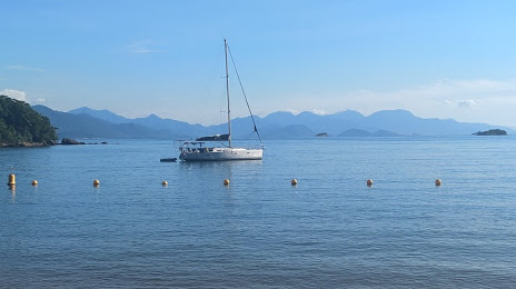
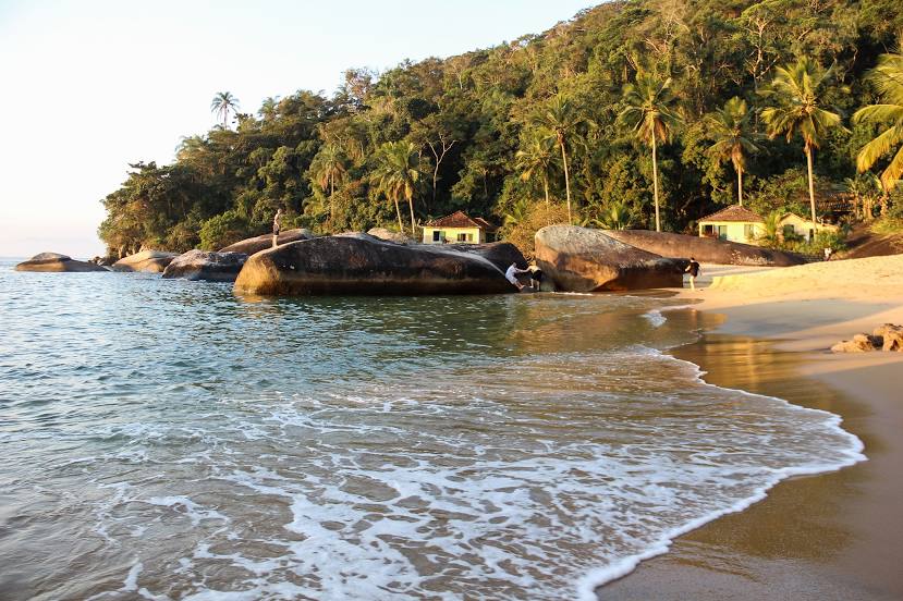
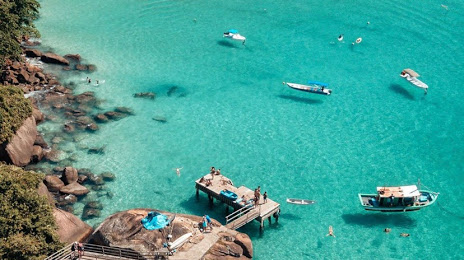
Victoria — Angra dos Reis distance, route on the map
Distance by car
Distance between Victoria, Mato Grosso do Sul, Brazil and Angra dos Reis, State of Rio de Janeiro, Brazil by car is — km, or miles. To travel this distance by car, you need minute, or h.
Route on the map, driving directions
Car route Victoria — Angra dos Reis was created automatically. The road on the map is shown as a blue line. By moving the markers, you can create a new route through the points you need.
Passing cities through which the car route passes: Bella Vista Norte (py), Ponta Porã, Pedro Juan Caballero (py), Pedro Juan Caballero (py), Zanja Pytá (py), Dourados, Dourados, Rio Brilhante, Nova Alvorada do Sul, Bataguassu, Presidente Epitácio, Presidente Venceslau, Piquerobi, Santo Anastácio, Presidente Bernardes, Álvares Machado, Presidente Prudente, Regente Feijó, Maracaí, Assis, Palmital, Ibirarema, Salto Grande, Ourinhos, Santa Cruz do Rio Pardo, Espírito Santo do Turvo, Itatinga, Pardinho, Cesário Lange, Boituva, Araçariguama, Itapevi, Jandira, Barueri, Carapicuiba, Osasco, Rochdale, Lapa, Centro, State of São Paulo, Tucuruvi, Guarulhos, Guarulhos, Sao Paulo International Airport, Sao Paulo International Airport, Arujá, Santa Isabel, Jacareí, São José dos Campos, Aeroporto Internacional de São José dos Campos - Professor Urbano Ernesto, Caçapava, Caçapava, Taubaté, Tremembé, Pindamonhangaba.
Distance by plane
If you decide to take a trip Victoria Angra dos Reis by plane, then you have to fly the distance — 1268 km or 786 miles. It is marked on the map with a gray line (between two points in a straight line).
Flight time
Estimated flight time Victoria Angra dos Reis by plane at cruising speed 750 km / h will be — 1 h. and 41 min.
Direction of movement
Brazil, Victoria — right-hand traffic. Brazil, Angra dos Reis — right-hand traffic.
Difference in time
Victoria and Angra dos Reis are in different time zones. The time difference is 1 hour (UTC -4 America/Campo_Grande, UTC -3 America/Sao_Paulo).
Interesting Facts
Information on alternative ways to get to your destination.
The length of this distance is about 3.2% of the total length of the equator.
The cost of travel
Calculate the cost of the trip yourself using the fuel consumption calculator, changing the data in the table.