Cuanajo — Ucú
Cuanajo — Tekpan
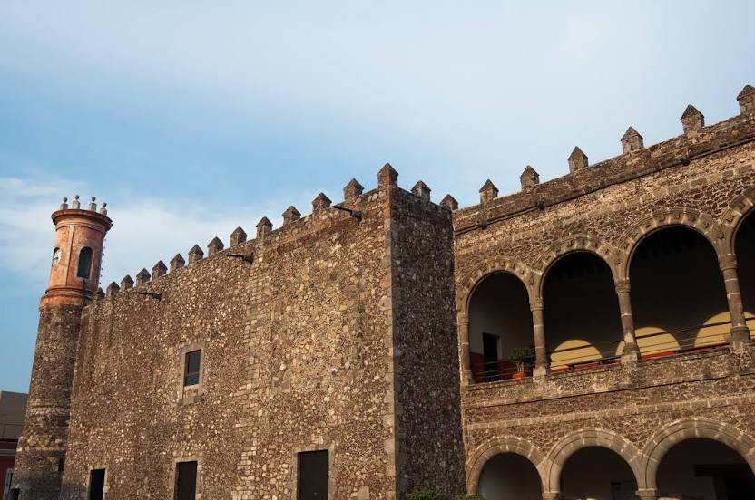
Cuanajo — Jiutepec
Cuanajo — Telcruz
Cuanajo — Tamazula
Cuanajo — Agua Zarca
Cuanajo — Tepeapulco
Cuanajo — Punta de Mita
Cuanajo — Puente Grande
Cuanajo — Atlapexco
Cuanajo — Cardona
Cuanajo — Mazapil
Cuanajo — Villa Corona
Cuanajo — Yalchén
Cuanajo — Huajuapan
Cuanajo — Los Gomez
Cuanajo — Tequisquiapan
Cuanajo — Heroica Veracruz
Cuanajo — Valle de Loreto
Lagunillas
Acuitzio
Alberto Oviedo Mota
Morelia
Morelia
Puerto de Buenavista
Bosques de Tres Marias
Charo
Álvaro Obregón
General Francisco Mujica International Airport
Zinapecuaro de Figueroa
Zinapécuaro
Tico
Ucareo
Valle de Juarez
Maravatío
Maravatío
Contepec
Atlacomulco de Fabela
Emiliano Zapata
Ixtlahuaca de Rayón
Mexico state
San Cayetano Morelos
Toluca
Metepec
San Mateo Mexicaltzingo
Chapultepec
Ex-Hacienda de Atenco
Santiago Tianguistenco
Almoloya del Río
Texcalyacac
Xalatlaco
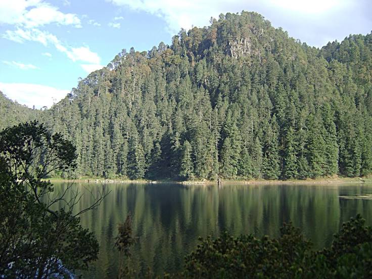
Huitzilac
Beautiful view
Cuanajo — Ucú
Cuanajo — Tekpan
Cuanajo — Jiutepec
Cuanajo — Telcruz
Cuanajo — Tamazula
Cuanajo — Agua Zarca
Cuanajo — Tepeapulco
Cuanajo — Punta de Mita
Cuanajo — Puente Grande
Cuanajo — Atlapexco
Cuanajo — Cardona
Cuanajo — Mazapil
Cuanajo — Villa Corona
Cuanajo — Yalchén
Cuanajo — Huajuapan
Cuanajo — Los Gomez
Cuanajo — Tequisquiapan
Cuanajo — Heroica Veracruz
Cuanajo — Valle de Loreto
Lagunillas
Acuitzio
Alberto Oviedo Mota
Morelia
Morelia
Puerto de Buenavista
Bosques de Tres Marias
Charo
Álvaro Obregón
General Francisco Mujica International Airport
Zinapecuaro de Figueroa
Zinapécuaro
Tico
Ucareo
Valle de Juarez
Maravatío
Maravatío
Contepec
Atlacomulco de Fabela
Emiliano Zapata
Ixtlahuaca de Rayón
Mexico state
San Cayetano Morelos
Toluca
Metepec
San Mateo Mexicaltzingo
Chapultepec
Ex-Hacienda de Atenco
Santiago Tianguistenco
Almoloya del Río
Texcalyacac
Xalatlaco
Huitzilac
Beautiful view
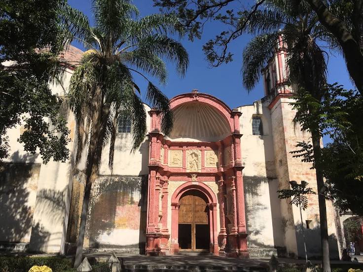
Cuanajo — Cuernavaca distance, route on the map
Distance by car
Distance between Cuanajo, Michoacán, Mexico and Cuernavaca, Morelos, Mexico by car is — km, or miles. To travel this distance by car, you need minute, or h.
Route on the map, driving directions
Car route Cuanajo — Cuernavaca was created automatically. The road on the map is shown as a blue line. By moving the markers, you can create a new route through the points you need.
Passing cities through which the car route passes: Huiramba, Lagunillas, Acuitzio, Alberto Oviedo Mota, Morelia, Morelia, Puerto de Buenavista, Bosques de Tres Marias, Charo, Álvaro Obregón, General Francisco Mujica International Airport, Zinapecuaro de Figueroa, Zinapécuaro, Tico, Ucareo, Valle de Juarez, Maravatío, Maravatío, Contepec, Atlacomulco de Fabela, Emiliano Zapata, Ixtlahuaca de Rayón, Mexico state, San Cayetano Morelos, Toluca, Metepec, San Mateo Mexicaltzingo, Chapultepec, Ex-Hacienda de Atenco, Santiago Tianguistenco, Almoloya del Río, Texcalyacac, Xalatlaco, Huitzilac, Beautiful view.
Distance by plane
If you decide to take a trip Cuanajo Cuernavaca by plane, then you have to fly the distance — 248 km or 154 miles. It is marked on the map with a gray line (between two points in a straight line).
Flight time
Estimated flight time Cuanajo Cuernavaca by plane at cruising speed 750 km / h will be — 19 min.
Direction of movement
Mexico, Cuanajo — right-hand traffic. Mexico, Cuernavaca — right-hand traffic.
Difference in time
Cuanajo and Cuernavaca are in the same time zone. Between them there is no time difference (UTC -6 America/Mexico_City).
Interesting Facts
Information on alternative ways to get to your destination.
The length of this distance is about 0.6% of the total length of the equator.
The percentage of the population is clearly shown in the graph:
Cuanajo — 5,110 (less by 338,675), Cuernavaca — 343,785 residents.
The cost of travel
Calculate the cost of the trip yourself using the fuel consumption calculator, changing the data in the table.