Porto Belo — Araripina
Porto Belo — Coronel Murta
Porto Belo — Portalegre
Porto Belo — Mutum
Porto Belo — Marmelada
Porto Belo — Vermelho Novo
Porto Belo — Campo do Tenente
Porto Belo — Campinas
Porto Belo — Vargem Alegre
Porto Belo — América Dourada
Porto Belo — Sinop
Porto Belo — Benfica
Porto Belo — Borba
Porto Belo — Recife International Airport
Porto Belo — Planalto
Porto Belo — Barra do Quaraí
Porto Belo — Rolador
Porto Belo — Vista Alegre do Alto
Porto Belo — Jaraguá do Sul
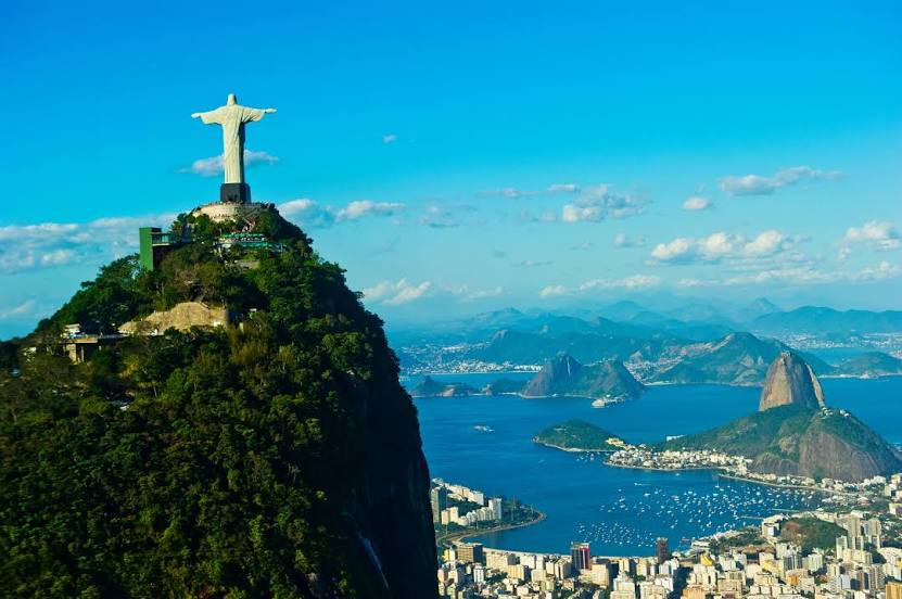
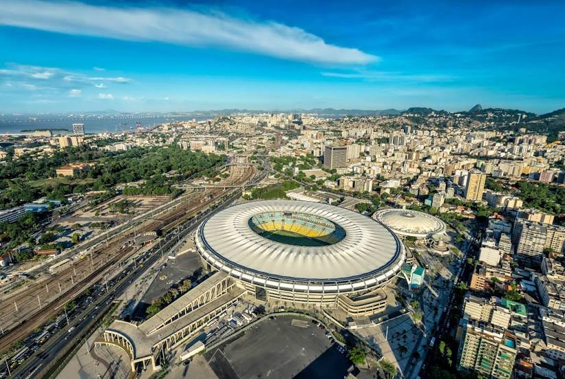
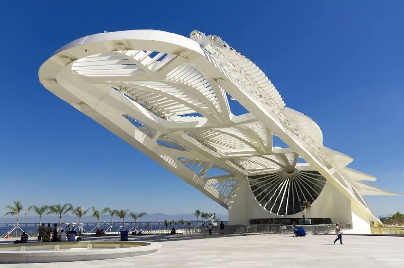
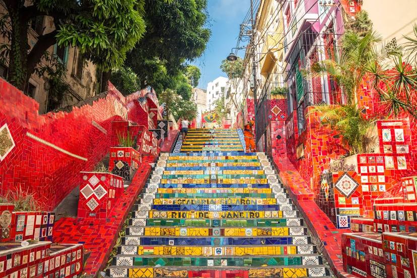
Porto Belo — Rio de Janeiro distance, route on the map
Distance by car
Distance between Porto Belo, Santa Catarina, Brazil and Rio de Janeiro, State of Rio de Janeiro, Brazil by car is — km, or miles. To travel this distance by car, you need minute, or h.
Route on the map, driving directions
Car route Porto Belo — Rio de Janeiro was created automatically. The road on the map is shown as a blue line. By moving the markers, you can create a new route through the points you need.
Distance by plane
If you decide to take a trip Porto Belo Rio de Janeiro by plane, then you have to fly the distance — 718 km or 445 miles. It is marked on the map with a gray line (between two points in a straight line).
Flight time
Estimated flight time Porto Belo Rio de Janeiro by plane at cruising speed 750 km / h will be — 57 min.
Direction of movement
Brazil, Porto Belo — right-hand traffic. Brazil, Rio de Janeiro — right-hand traffic.
Difference in time
Porto Belo and Rio de Janeiro are in the same time zone. Between them there is no time difference (UTC -3 America/Sao_Paulo).
Interesting Facts
Information on alternative ways to get to your destination.
The length of this distance is about 1.8% of the total length of the equator.
The percentage of the population is clearly shown in the graph:
Porto Belo — 14,720 (less by 6,009,022), Rio de Janeiro — 6,023,742 residents.
The cost of travel
Calculate the cost of the trip yourself using the fuel consumption calculator, changing the data in the table.