Barra Bonita
Castilho
Piraju
Itápolis
Sabino
Potirendaba
Sertãozinho
Penápolis
Piacatu
Almenara
Duque de Caxias
Volta Redonda
Saquarema
Campo Belo
Monte Carmelo
Três Pontas
São Pedro da Aldeia
São Gonçalo
Mauá
Barra Bonita
Castilho
Piraju
Itápolis
Sabino
Potirendaba
Sertãozinho
Penápolis
Piacatu
Almenara
Duque de Caxias
Volta Redonda
Saquarema
Campo Belo
Monte Carmelo
Três Pontas
São Pedro da Aldeia
São Gonçalo
Mauá
Americana on the map, Brazil
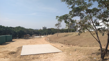
Where is located Americana
Exact location — Americana, Americana, São Paulo, Brazil, marked on the map with a red marker.
Coordinates
Americana, Brazil coordinates in decimal format: latitude — -22.7378463, longitude — -47.3335688. When converted to degrees, minutes, seconds Americana has the following coordinates: -22°44′16.25 north latitude and -47°20′0.85 east longitude.
Population
Americana, Americana, São Paulo, Brazil, according to our data the population is — 196,026 residents, which is about 0.1% of the total population of the country (Brazil).
Comparison of the population on the graph:
Exact time
Time zone for this location Americana — UTC -3 America/Sao_Paulo. Exact time — saturday, 4 april 2024 year, 05 h. 05 minutes.
Sunrise and sunset
Americana, sunrise and sunset data for a date — saturday 27.04.2024.
| Sunrise | Sunset | Day (duration) |
|---|---|---|
| 06:29 -0 minutes | 17:43 -1 minute | 11 h. 12 minutes. -1 minute |
You can control the scale of the map using the auxiliary tools to find out exactly where it is located Americana. When you change the scale of the map, the width of the ruler also changes (in kilometers and miles).
Nearby cities
The largest cities that are located nearby:
- Santa Bárbara D'Oeste — 9 km
- Sumaré — 11 km
- Hortolândia — 18 km
- Piracicaba — 32 km
- Campinas — 34 km
- Indaiatuba — 41 km
- Araras — 42 km
- Rio Claro — 43 km
- Itu — 57 km
- Jundiaí — 66 km
- Várzea Paulista — 74 km
- Francisco Morato — 85 km
- Sorocaba — 85 km
- Franco da Rocha — 89 km
- Atibaia — 89 km
- Barueri — 97 km
- Jandira — 98 km
- Itapevi — 98 km
- São Carlos — 99 km
Distance to neighboring capitals:
- Asuncion
 (Paraguay) — 1078 km
 - Asuncion (Paraguay) — 1084 km
- Montevideo
 (Uruguay) — 1602 km
 - Buenos Aires
 (Argentina) — 1702 km
 - Nuestra Señora de La Paz
 (Bolivia) — 2286 km
 - Santiago
 (Chile) — 2570 km
 - Paramaribo
 (Suriname) — 3293 km
 - Georgetown
 (Guyana) — 3491 km
 - Quito
 (Ecuador) — 4199 km
 - Bogota
 (Colombia) — 4206 km
 - Caracas
 (Venezuela) — 4271 km