
 Kcynia
Chybie
Stubno
Brenna
Nowogrodziec
Lubraniec
Sztum
Gomunice
Strzyżów
Susz
Swidwin
Kobylin
Olszanica
Nisko
Węgliniec
Dobra
Zbaszynek
Ustrzyki Dolne
Tuliszków
Kcynia
Chybie
Stubno
Brenna
Nowogrodziec
Lubraniec
Sztum
Gomunice
Strzyżów
Susz
Swidwin
Kobylin
Olszanica
Nisko
Węgliniec
Dobra
Zbaszynek
Ustrzyki Dolne
Tuliszków
Wschowa on the map, Poland
Where is located Wschowa
Exact location — Wschowa, Wschowa County, Lubusz Voivodeship, Poland, marked on the map with a red marker.
Coordinates
Wschowa, Poland coordinates in decimal format: latitude — 51.8071084, longitude — 16.3164767. When converted to degrees, minutes, seconds Wschowa has the following coordinates: 51°48′25.59 north latitude and 16°18′59.32 east longitude.
Population
Wschowa, Wschowa County, Lubusz Voivodeship, Poland, according to our data the population is — 14,458 residents, which is about 0% of the total population of the country (Poland).
Comparison of the population on the graph:
Exact time
Time zone for this location Wschowa — UTC +2 Europe/Warsaw. Exact time — friday, 5 may 2024 year, 12 h. 50 minutes.
Sunrise and sunset
Wschowa, sunrise and sunset data for a date — friday 10.05.2024.
| Sunrise | Sunset | Day (duration) |
|---|---|---|
| 05:12 -2 minutes | 20:29 +2 minutes | 15 h. 18 minutes. +4 minutes |
You can control the scale of the map using the auxiliary tools to find out exactly where it is located Wschowa. When you change the scale of the map, the width of the ruler also changes (in kilometers and miles).
Nearby cities
The largest cities that are located nearby:
- Zielona Gora — 57 km
- Legnica — 67 km
- Poznań — 78 km
- Wrocław — 92 km
- Walbrzych — 113 km
- Kalisz — 121 km
- Gorzów Wielkopolski — 125 km
- Cottbus
 (Germany) — 136 km
 - Opole — 168 km
- Bydgoszcz — 184 km
- Dresden (Germany) — 198 km
- Torun — 202 km
- Wloclawek — 207 km
- Berlin (Germany) — 211 km
- Berlin (Germany) — 211 km
- Szczecin — 214 km
- Łódź — 215 km
- Częstochowa — 225 km
- Potsdam (Germany) — 229 km
Distance to neighboring capitals:
- Berlin (Germany) — 214 km
- Prague
 (Czech Republic) — 233 km
 - Vienna
 (Austria) — 400 km
 - Bratislava
 (Slovakia) — 411 km
 - Copenhagen
 (Denmark) — 496 km
 - Budapest
 (Hungary) — 518 km
 - Vilnius
 (Lithuania) — 676 km
 - Rīga
 (Latvia) — 762 km
 - Amsterdam
 (Netherlands) — 782 km
 - Minsk
 (Belarus) — 789 km
 - Belgrade
 (Serbia) — 838 km
 - Bern
 (Switzerland) — 839 km
 - Kyiv
 (Ukraine) — 1001 km
 - Paris
 (France) — 1042 km
 - Helsinki
 (Finland) — 1072 km
 - Bucharest
 (Romania) — 1094 km
 - Moscow
 (Russia) — 1460 km
 - Tbilisi
 (Georgia) — 2421 km
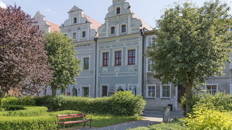
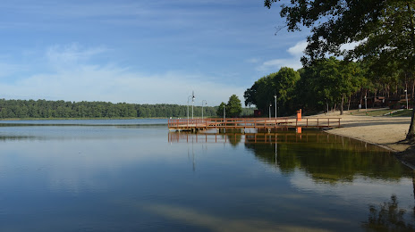
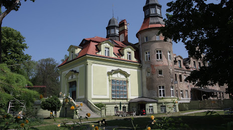
Attractions
Distance to the capital
Distance to the capital (Warsaw) is about — 325 km.