São Cristóvão — Tupandi
São Cristóvão — Inhumas
São Cristóvão — Pedra
São Cristóvão — International Airport of Brasilia
São Cristóvão — Fernão
São Cristóvão — Velho
São Cristóvão — Siriri
São Cristóvão — Leme
São Cristóvão — Brochier
São Cristóvão — Porecatu
São Cristóvão — Flores
São Cristóvão — Jaguaribara
São Cristóvão — Alegre
São Cristóvão — Ferros
São Cristóvão — Alto Bela Vista
São Cristóvão — Caieiras
São Cristóvão — Caputira
São Cristóvão — Mulungu
São Cristóvão — Luzerna
Esplanada
Entre Rios
Alagoinhas
Teodoro Sampaio
Feira de Santana
Santo Estêvão
Jequié
Vitória da Conquista
Itaobim
Padre Paraíso
Teófilo Otoni
Itambacuri
Campanário
Jampruca
Frei Inocêncio
Valadares Governor
Sobrália
Tarumirim
Inhapim
Ubaporanga
Luisburgo
Divino
Fervedouro
Muriaé
Leopoldina
Além Paraíba
Teresópolis
Guapimirim
Magé
Coriolano
Brazil
Queimados
Japeri
Seropédica
Mangaratiba
Conceicao de Jacareí
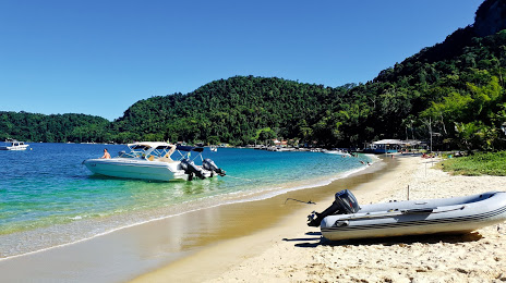
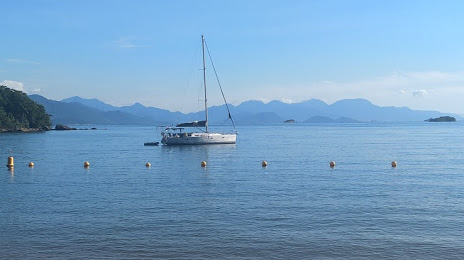
São Cristóvão — Angra dos Reis distance, route on the map
Distance by car
Distance between São Cristóvão, State of Sergipe, Brazil and Angra dos Reis, State of Rio de Janeiro, Brazil by car is — km, or miles. To travel this distance by car, you need minute, or h.
Route on the map, driving directions
Car route São Cristóvão — Angra dos Reis was created automatically. The road on the map is shown as a blue line. By moving the markers, you can create a new route through the points you need.
Passing cities through which the car route passes: Estância, Esplanada, Entre Rios, Alagoinhas, Teodoro Sampaio, Feira de Santana, Santo Estêvão, Jequié, Vitória da Conquista, Itaobim, Padre Paraíso, Teófilo Otoni, Itambacuri, Campanário, Jampruca, Frei Inocêncio, Valadares Governor, Sobrália, Tarumirim, Inhapim, Ubaporanga, Luisburgo, Divino, Fervedouro, Muriaé, Leopoldina, Além Paraíba, Teresópolis, Guapimirim, Magé, Coriolano, Brazil, Queimados, Japeri, Seropédica, Mangaratiba, Conceicao de Jacareí.
Distance by plane
If you decide to take a trip São Cristóvão Angra dos Reis by plane, then you have to fly the distance — 1533 km or 950 miles. It is marked on the map with a gray line (between two points in a straight line).
Flight time
Estimated flight time São Cristóvão Angra dos Reis by plane at cruising speed 750 km / h will be — 2 h. and 2 min.
Direction of movement
Brazil, São Cristóvão — right-hand traffic. Brazil, Angra dos Reis — right-hand traffic.
Difference in time
São Cristóvão and Angra dos Reis are in the same time zone. Between them there is no time difference (UTC -3 America/Fortaleza).
Interesting Facts
Information on alternative ways to get to your destination.
The length of this distance is about 3.8% of the total length of the equator.
The percentage of the population is clearly shown in the graph:
São Cristóvão — 71,539 (less by 82,098), Angra dos Reis — 153,637 residents.
The cost of travel
Calculate the cost of the trip yourself using the fuel consumption calculator, changing the data in the table.