Jaboatão dos Guararapes — Altônia
Jaboatão dos Guararapes — Panamá
Jaboatão dos Guararapes — Aparecida
Jaboatão dos Guararapes — Novo Hamburgo
Jaboatão dos Guararapes — São Domingos do Capim
Jaboatão dos Guararapes — Conservatória
Jaboatão dos Guararapes — Caicó
Jaboatão dos Guararapes — Santa Clara
Jaboatão dos Guararapes — Araçoiaba
Jaboatão dos Guararapes — Caçapava
Jaboatão dos Guararapes — Inhuma
Jaboatão dos Guararapes — Joinville Airport - Lauro Carneiro de Loyola
Jaboatão dos Guararapes — Colinas do Tocantins
Jaboatão dos Guararapes — Ferrugem
Jaboatão dos Guararapes — Vilhena
Jaboatão dos Guararapes — Nonoai
Jaboatão dos Guararapes — Vitória da Conquista
Jaboatão dos Guararapes — Guamiranga
Jaboatão dos Guararapes — Rio Pardo
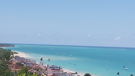
Cabo de Santo Agostinho
Ipojuca
Rio Formoso
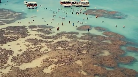
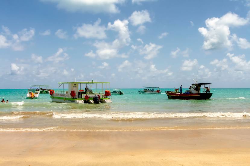
Tamandaré
Barreiros
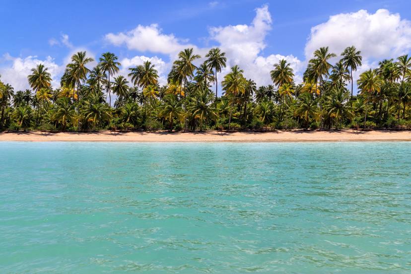
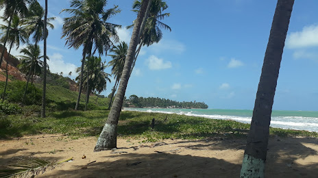
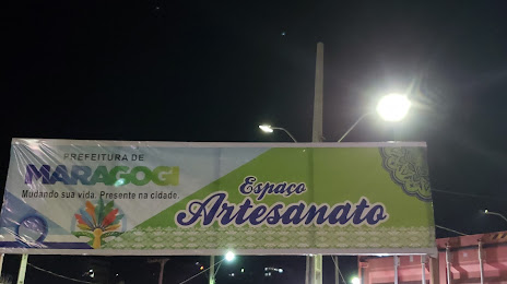
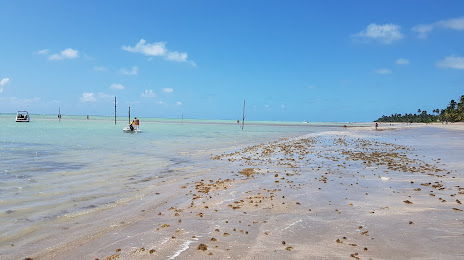
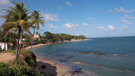
Maragogi
Jaboatão dos Guararapes — Altônia
Jaboatão dos Guararapes — Panamá
Jaboatão dos Guararapes — Aparecida
Jaboatão dos Guararapes — Novo Hamburgo
Jaboatão dos Guararapes — São Domingos do Capim
Jaboatão dos Guararapes — Conservatória
Jaboatão dos Guararapes — Caicó
Jaboatão dos Guararapes — Santa Clara
Jaboatão dos Guararapes — Araçoiaba
Jaboatão dos Guararapes — Caçapava
Jaboatão dos Guararapes — Inhuma
Jaboatão dos Guararapes — Joinville Airport - Lauro Carneiro de Loyola
Jaboatão dos Guararapes — Colinas do Tocantins
Jaboatão dos Guararapes — Ferrugem
Jaboatão dos Guararapes — Vilhena
Jaboatão dos Guararapes — Nonoai
Jaboatão dos Guararapes — Vitória da Conquista
Jaboatão dos Guararapes — Guamiranga
Jaboatão dos Guararapes — Rio Pardo
Cabo de Santo Agostinho
Ipojuca
Rio Formoso
Tamandaré
Barreiros
Maragogi
Jaboatão dos Guararapes — Maragogi distance, route on the map
Distance by car
Distance between Jaboatão dos Guararapes, State of Pernambuco, Brazil and Maragogi, Alagoas, Brazil by car is — km, or miles. To travel this distance by car, you need minute, or h.
Route on the map, driving directions
Car route Jaboatão dos Guararapes — Maragogi was created automatically. The road on the map is shown as a blue line. By moving the markers, you can create a new route through the points you need.
Passing cities through which the car route passes: Jaboatão dos Guararapes, Cabo de Santo Agostinho, Ipojuca, Rio Formoso, Tamandaré, Barreiros, Maragogi.
Distance by plane
If you decide to take a trip Jaboatão dos Guararapes Maragogi by plane, then you have to fly the distance — 99 km or 61 miles. It is marked on the map with a gray line (between two points in a straight line).
Flight time
Estimated flight time Jaboatão dos Guararapes Maragogi by plane at cruising speed 750 km / h will be — 7 min.
Direction of movement
Brazil, Jaboatão dos Guararapes — right-hand traffic. Brazil, Maragogi — right-hand traffic.
Difference in time
Jaboatão dos Guararapes and Maragogi are in the same time zone. Between them there is no time difference (UTC -3 America/Recife).
Interesting Facts
Information on alternative ways to get to your destination.
The length of this distance is about 0.2% of the total length of the equator.
The percentage of the population is clearly shown in the graph:
Jaboatão dos Guararapes — 630,008, Maragogi — 16,066 residents (less by 613,942).
The cost of travel
Calculate the cost of the trip yourself using the fuel consumption calculator, changing the data in the table.