Nova Lima — Teutônia
Nova Lima — Floresta do Araguaia
Nova Lima — São Pedro
Nova Lima — Extremoz
Nova Lima — Itaquaquecetuba
Nova Lima — Pernambuco
Nova Lima — Laguna
Nova Lima — Macucos
Nova Lima — Icó
Nova Lima — Central de Minas
Nova Lima — Paraíso do Tocantins
Nova Lima — Guanta
Nova Lima — Porto Franco
Nova Lima — Arroio do Meio
Nova Lima — Camboriú
Nova Lima — Capivari
Nova Lima — Esperantina
Nova Lima — Natividade da Serra
Nova Lima — Barra Velha
Barreiro
Congonhas
Cristiano Otoni
Barbacena
Galego
Santos Dumont
Aeroporto de Juiz de Fora
Matias Barbosa
Três Rios
Areal
Petrópolis
Petrópolis
Coriolano
Magé
Monjolo
Itaboraí
Tanguá
Rio Bonito
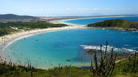
Araruama
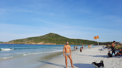
Iguaba Grande
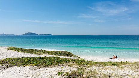
São Pedro da Aldeia
Nova Lima — Teutônia
Nova Lima — Floresta do Araguaia
Nova Lima — São Pedro
Nova Lima — Extremoz
Nova Lima — Itaquaquecetuba
Nova Lima — Pernambuco
Nova Lima — Laguna
Nova Lima — Macucos
Nova Lima — Icó
Nova Lima — Central de Minas
Nova Lima — Paraíso do Tocantins
Nova Lima — Guanta
Nova Lima — Porto Franco
Nova Lima — Arroio do Meio
Nova Lima — Camboriú
Nova Lima — Capivari
Nova Lima — Esperantina
Nova Lima — Natividade da Serra
Nova Lima — Barra Velha
Barreiro
Congonhas
Cristiano Otoni
Barbacena
Galego
Santos Dumont
Aeroporto de Juiz de Fora
Matias Barbosa
Três Rios
Areal
Petrópolis
Petrópolis
Coriolano
Magé
Monjolo
Itaboraí
Tanguá
Rio Bonito
Araruama
Iguaba Grande
São Pedro da Aldeia
Nova Lima — Cabo Frio distance, route on the map
Distance by car
Distance between Nova Lima, Minas Gerais, Brazil and Cabo Frio, Rio de Janeiro, Brazil by car is — km, or miles. To travel this distance by car, you need minute, or h.
Route on the map, driving directions
Car route Nova Lima — Cabo Frio was created automatically. The road on the map is shown as a blue line. By moving the markers, you can create a new route through the points you need.
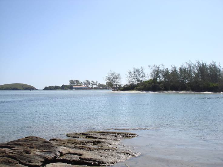
Passing cities through which the car route passes: Belo Horizonte, Barreiro, Congonhas, Cristiano Otoni, Barbacena, Galego, Santos Dumont, Aeroporto de Juiz de Fora, Matias Barbosa, Três Rios, Areal, Petrópolis, Petrópolis, Coriolano, Magé, Monjolo, Itaboraí, Tanguá, Rio Bonito, Araruama, Iguaba Grande, São Pedro da Aldeia.
Distance by plane
If you decide to take a trip Nova Lima Cabo Frio by plane, then you have to fly the distance — 373 km or 231 miles. It is marked on the map with a gray line (between two points in a straight line).
Flight time
Estimated flight time Nova Lima Cabo Frio by plane at cruising speed 750 km / h will be — 29 min.
Direction of movement
Brazil, Nova Lima — right-hand traffic. Brazil, Cabo Frio — right-hand traffic.
Difference in time
Nova Lima and Cabo Frio are in the same time zone. Between them there is no time difference (UTC -3 America/Sao_Paulo).
Interesting Facts
Information on alternative ways to get to your destination.
The length of this distance is about 0.9% of the total length of the equator.
The percentage of the population is clearly shown in the graph:
Nova Lima — 88,400 (less by 19,841), Cabo Frio — 108,241 residents.
The cost of travel
Calculate the cost of the trip yourself using the fuel consumption calculator, changing the data in the table.