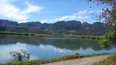
Tahuexco — Chaquijya
Tahuexco — San Juan Tecuaco
Tahuexco — El Zapote
Tahuexco — San Luis Pueblo Nuevo
Tahuexco — Chicaman
Tahuexco — Peña Blanca
Tahuexco — Petén Department
Tahuexco — Escuintla
Tahuexco — San Juan Chamelco
Tahuexco — Cuilapa
Tahuexco — Tierra Blanca
Tahuexco — Pueblo Nuevo Viñas
Tahuexco — Pueblo Nuevo Tiquisate
Tahuexco — Tierra Blanca Sebol
Tahuexco — Amatitlán
Tahuexco — Unión Cantinil
Tahuexco — El Nuevo Palmar
Tahuexco — Iztapa
Tahuexco — Tejutla
Pueblo Nuevo Tiquisate
Tiquisate
Tiquisate
Bravo River
Santa Bárbara
Cocales
San Juan Bautista
Patulul
Pochuta
Colonia Pampojila
San Lucas Tolimán
San Antonio Palopó
Godínez
Santa Catarina Palopó
San Andrés Semetabaj
Patanatic
Concepción
The meetings
Chichicastenango
Chichicastenango
Santa Cruz del Quiché
San Pedro Jocopilas
Santa Lucía La Reforma
Sacapulas
Cunén
Uspantan
Chicaman
Tahuexco — San Cristobal Verapaz distance, route on the map
Distance by car
Distance between Tahuexco, Suchitepequez, Guatemala and San Cristobal Verapaz, Alta Verapaz, Guatemala by car is — km, or miles. To travel this distance by car, you need minute, or h.
Route on the map, driving directions
Car route Tahuexco — San Cristobal Verapaz was created automatically. The road on the map is shown as a blue line. By moving the markers, you can create a new route through the points you need.
Passing cities through which the car route passes: San Juan La Noria, Pueblo Nuevo Tiquisate, Tiquisate, Tiquisate, Bravo River, Santa Bárbara, Cocales, San Juan Bautista, Patulul, Pochuta, Colonia Pampojila, San Lucas Tolimán, San Antonio Palopó, Godínez, Santa Catarina Palopó, San Andrés Semetabaj, Patanatic, Concepción, The meetings, Chichicastenango, Chichicastenango, Santa Cruz del Quiché, San Pedro Jocopilas, Santa Lucía La Reforma, Sacapulas, Cunén, Uspantan, Chicaman.
Distance by plane
If you decide to take a trip Tahuexco San Cristobal Verapaz by plane, then you have to fly the distance — 187 km or 116 miles. It is marked on the map with a gray line (between two points in a straight line).
Flight time
Estimated flight time Tahuexco San Cristobal Verapaz by plane at cruising speed 750 km / h will be — 14 min.
Direction of movement
Guatemala, Tahuexco — right-hand traffic. Guatemala, San Cristobal Verapaz — right-hand traffic.
Difference in time
Tahuexco and San Cristobal Verapaz are in the same time zone. Between them there is no time difference (UTC -6 America/Guatemala).
Interesting Facts
Information on alternative ways to get to your destination.
The length of this distance is about 0.5% of the total length of the equator.
The cost of travel
Calculate the cost of the trip yourself using the fuel consumption calculator, changing the data in the table.