Vila Velha
Boa Esperança
Nepomuceno
Pancas
Baependi
São Sebastião
Iconha
Colatina
Juazeiro do Norte
Caieiras
Dias d'Ávila
São Caetano do Sul
Nova Odessa
Garça
Oliveira
Três Lagoas
Maracaí
Paiva
Guararema
Vila Velha
Boa Esperança
Nepomuceno
Pancas
Baependi
São Sebastião
Iconha
Colatina
Juazeiro do Norte
Caieiras
Dias d'Ávila
São Caetano do Sul
Nova Odessa
Garça
Oliveira
Três Lagoas
Maracaí
Paiva
Guararema
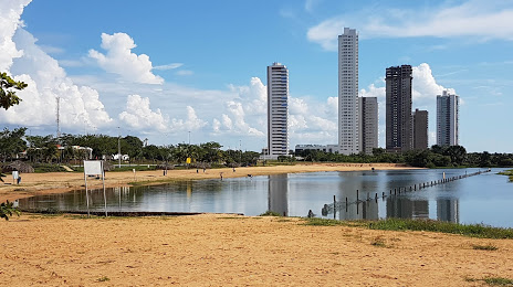
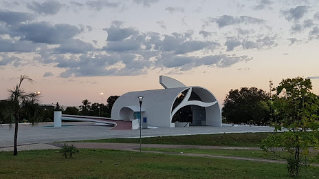
Palmas on the map, Brazil
Where is located Palmas
Exact location — Palmas, Palmas, Tocantins, Brazil, marked on the map with a red marker.
Coordinates
Palmas, Brazil coordinates in decimal format: latitude — -10.249091, longitude — -48.3242858. When converted to degrees, minutes, seconds Palmas has the following coordinates: -10°14′56.73 north latitude and -48°19′27.43 east longitude.
Population
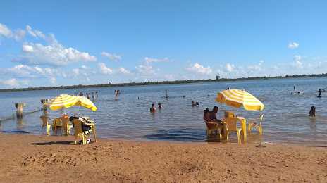
Palmas, Palmas, Tocantins, Brazil, according to our data the population is — 196,332 residents, which is about 0.1% of the total population of the country (Brazil).
Comparison of the population on the graph:
Exact time
Time zone for this location Palmas — UTC -3 America/Fortaleza. Exact time — saturday, 4 april 2024 year, 19 h. 48 minutes.
Sunrise and sunset
Palmas, sunrise and sunset data for a date — saturday 27.04.2024.
| Sunrise | Sunset | Day (duration) |
|---|---|---|
| 06:20 -0 minutes | 18:01 -0 minutes | 11 h. 42 minutes. -0 minutes |
You can control the scale of the map using the auxiliary tools to find out exactly where it is located Palmas. When you change the scale of the map, the width of the ruler also changes (in kilometers and miles).
Nearby cities
The largest cities that are located nearby:
- Araguaína — 338 km
- Barreiras — 417 km
- Imperatriz — 531 km
- Marabá — 546 km
- Brasília — 615 km
- Luziânia — 665 km
- Anápolis — 675 km
- Goiânia — 719 km
- Sinop — 798 km
- Caxias — 808 km
- Timon — 831 km
- Teresina — 833 km
- Montes Claros — 858 km
- Petrolina — 858 km
- Patos de Minas — 941 km
- Vitória da Conquista — 948 km
- Uberlândia — 958 km
- Rondonópolis — 959 km
- São Luís — 962 km
Distance to neighboring capitals:
- Asuncion
 (Paraguay) — 1934 km
 - Asuncion (Paraguay) — 1939 km
- Paramaribo
 (Suriname) — 1946 km
 - Georgetown
 (Guyana) — 2187 km
 - Nuestra Señora de La Paz
 (Bolivia) — 2253 km
 - Montevideo
 (Uruguay) — 2855 km
 - Buenos Aires
 (Argentina) — 2895 km
 - Caracas
 (Venezuela) — 3094 km
 - Bogota
 (Colombia) — 3296 km
 - Santiago
 (Chile) — 3442 km
 - Quito
 (Ecuador) — 3517 km