Manga — Nova Petrópolis
Manga — Farias Brito
Manga — Bauru
Manga — Fortaleza
Manga — Flores da Cunha
Manga — São Paulo
Manga — Itambé
Manga — Km 30
Manga — Chuí
Manga — Belo Horizonte
Manga — Itupeva
Manga — Macau
Manga — Nova Olímpia
Manga — Terra Roxa
Manga — São Francisco do Conde
Manga — Alto do Rodrigues
Manga — Brumado
Manga — General Câmara
Manga — São Lourenço
Arinos
Cabeceiras
Formosa
Planaltina
Brasilia
35
Taguatinga
Alexânia
Abadiânia
Anápolis
Anápolis
Nerópolis
Inhumas
Inhumas
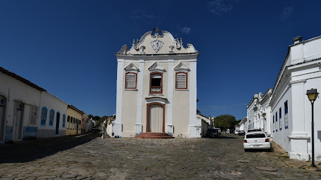
Manga — Goias distance, route on the map
Distance by car
Distance between Manga, Minas Gerais, Brazil and Goias, Goias, Brazil by car is — km, or miles. To travel this distance by car, you need minute, or h.
Route on the map, driving directions
Car route Manga — Goias was created automatically. The road on the map is shown as a blue line. By moving the markers, you can create a new route through the points you need.
Passing cities through which the car route passes: Januária, Arinos, Cabeceiras, Formosa, Planaltina, Brasilia, 35, Taguatinga, Alexânia, Abadiânia, Anápolis, Anápolis, Nerópolis, Inhumas, Inhumas.
Distance by plane
If you decide to take a trip Manga Goias by plane, then you have to fly the distance — 678 km or 420 miles. It is marked on the map with a gray line (between two points in a straight line).
Flight time
Estimated flight time Manga Goias by plane at cruising speed 750 km / h will be — 54 min.
Direction of movement
Brazil, Manga — right-hand traffic. Brazil, Goias — right-hand traffic.
Difference in time
Manga and Goias are in the same time zone. Between them there is no time difference (UTC -3 America/Fortaleza).
Interesting Facts
Information on alternative ways to get to your destination.
The length of this distance is about 1.7% of the total length of the equator.
The cost of travel
Calculate the cost of the trip yourself using the fuel consumption calculator, changing the data in the table.