Boa Esperança — Caxias do Sul
Boa Esperança — Alvinópolis
Boa Esperança — Silva Jardim
Boa Esperança — Alhandra
Boa Esperança — Rio Paranaíba
Boa Esperança — Paracambi
Boa Esperança — Lajedo
Boa Esperança — Monteiro Lobato
Boa Esperança — Aporé
Boa Esperança — Capitania
Boa Esperança — Motuca
Boa Esperança — Boto
Boa Esperança — Siriri
Boa Esperança — Ibaiti
Boa Esperança — Cianorte
Boa Esperança — Nerópolis
Boa Esperança — Ilha Solteira
Boa Esperança — Pitangueiras
Boa Esperança — Flores
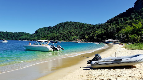
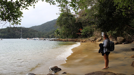
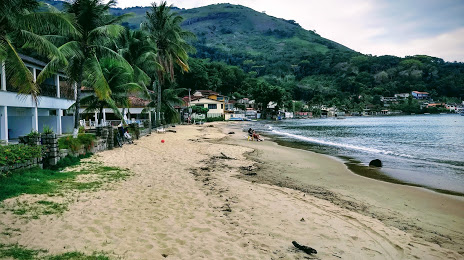
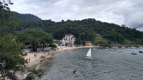
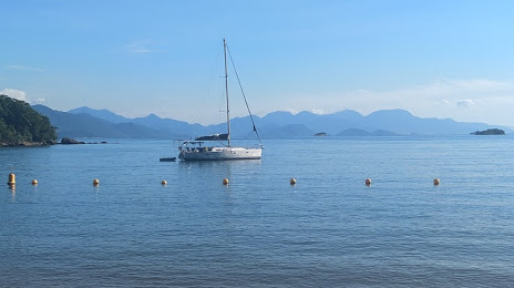
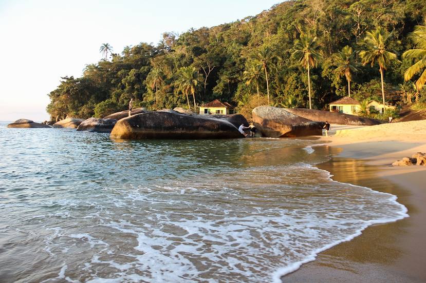
Boa Esperança — Angra dos Reis distance, route on the map
Distance by car
Distance between Boa Esperança, Minas Gerais, Brazil and Angra dos Reis, State of Rio de Janeiro, Brazil by car is — km, or miles. To travel this distance by car, you need minute, or h.
Route on the map, driving directions
Car route Boa Esperança — Angra dos Reis was created automatically. The road on the map is shown as a blue line. By moving the markers, you can create a new route through the points you need.
Distance by plane
If you decide to take a trip Boa Esperança Angra dos Reis by plane, then you have to fly the distance — 249 km or 154 miles. It is marked on the map with a gray line (between two points in a straight line).
Flight time
Estimated flight time Boa Esperança Angra dos Reis by plane at cruising speed 750 km / h will be — 19 min.
Direction of movement
Brazil, Boa Esperança — right-hand traffic. Brazil, Angra dos Reis — right-hand traffic.
Difference in time
Boa Esperança and Angra dos Reis are in the same time zone. Between them there is no time difference (UTC -3 America/Sao_Paulo).
Interesting Facts
Information on alternative ways to get to your destination.
The length of this distance is about 0.6% of the total length of the equator.
The percentage of the population is clearly shown in the graph:
Boa Esperança — 33,840 (less by 119,797), Angra dos Reis — 153,637 residents.
The cost of travel
Calculate the cost of the trip yourself using the fuel consumption calculator, changing the data in the table.