Santa Vitoria do Palmar — Itatiaiuçu
Santa Vitoria do Palmar — Goias
Santa Vitoria do Palmar — Lapa
Santa Vitoria do Palmar — Eusébio
Santa Vitoria do Palmar — Icaraíma
Santa Vitoria do Palmar — Ampére
Santa Vitoria do Palmar — Armação dos Búzios
Santa Vitoria do Palmar — Capão da Canoa
Santa Vitoria do Palmar — Jaguaribe
Santa Vitoria do Palmar — Taguatinga
Santa Vitoria do Palmar — Campo do Tenente
Santa Vitoria do Palmar — Monte Alto
Santa Vitoria do Palmar — Independência
Santa Vitoria do Palmar — Estefânia
Santa Vitoria do Palmar — Tucunduva
Santa Vitoria do Palmar — Baixa Grande
Santa Vitoria do Palmar — State of Maranhão
Santa Vitoria do Palmar — Coriolano
Santa Vitoria do Palmar — Touros
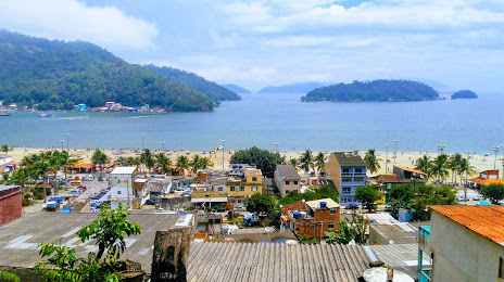
Santa Vitoria do Palmar — Mangaratiba distance, route on the map
Distance by car
Distance between Santa Vitoria do Palmar, State of Rio Grande do Sul, Brazil and Mangaratiba, Rio de Janeiro, Brazil by car is — km, or miles. To travel this distance by car, you need minute, or h.
Route on the map, driving directions
Car route Santa Vitoria do Palmar — Mangaratiba was created automatically. The road on the map is shown as a blue line. By moving the markers, you can create a new route through the points you need.
Distance by plane
If you decide to take a trip Santa Vitoria do Palmar Mangaratiba by plane, then you have to fly the distance — 1487 km or 922 miles. It is marked on the map with a gray line (between two points in a straight line).
Flight time
Estimated flight time Santa Vitoria do Palmar Mangaratiba by plane at cruising speed 750 km / h will be — 1 h. and 58 min.
Direction of movement
Brazil, Santa Vitoria do Palmar — right-hand traffic. Brazil, Mangaratiba — right-hand traffic.
Difference in time
Santa Vitoria do Palmar and Mangaratiba are in the same time zone. Between them there is no time difference (UTC -3 America/Sao_Paulo).
Interesting Facts
Information on alternative ways to get to your destination.
The length of this distance is about 3.7% of the total length of the equator.
The percentage of the population is clearly shown in the graph:
Santa Vitoria do Palmar — 27,775, Mangaratiba — 27,023 residents (less by 752).
The cost of travel
Calculate the cost of the trip yourself using the fuel consumption calculator, changing the data in the table.