Timon
Pedro Leopoldo
São Mateus
Valença
Ibitinga
Piedade
Bertioga
Nova Granada
São Roque
Juazeiro do Norte
Colatina
Iconha
São Sebastião
Baependi
Pancas
Nepomuceno
Boa Esperança
Vila Velha
Mendes
Timon
Pedro Leopoldo
São Mateus
Valença
Ibitinga
Piedade
Bertioga
Nova Granada
São Roque
Juazeiro do Norte
Colatina
Iconha
São Sebastião
Baependi
Pancas
Nepomuceno
Boa Esperança
Vila Velha
Mendes
Cajamar on the map, Brazil
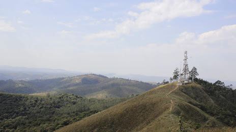
Where is located Cajamar
Exact location — Cajamar, Cajamar, São Paulo, Brazil, marked on the map with a red marker.
Coordinates
Cajamar, Brazil coordinates in decimal format: latitude — -23.3555044, longitude — -46.8785941. When converted to degrees, minutes, seconds Cajamar has the following coordinates: -23°21′19.82 north latitude and -46°52′42.94 east longitude.
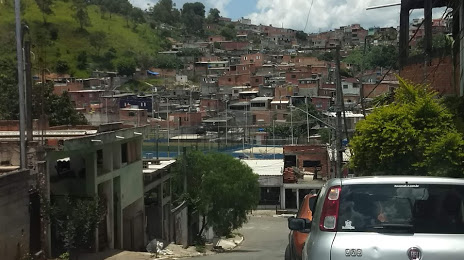
Population
Cajamar, Cajamar, São Paulo, Brazil, according to our data the population is — 56,684 residents, which is about 0% of the total population of the country (Brazil).
Comparison of the population on the graph:
Exact time
Time zone for this location Cajamar — UTC -3 America/Sao_Paulo. Exact time — saturday, 4 april 2024 year, 07 h. 03 minutes.
Sunrise and sunset
Cajamar, sunrise and sunset data for a date — saturday 27.04.2024.
| Sunrise | Sunset | Day (duration) |
|---|---|---|
| 06:28 -0 minutes | 17:41 -1 minute | 11 h. 12 minutes. -1 minute |
You can control the scale of the map using the auxiliary tools to find out exactly where it is located Cajamar. When you change the scale of the map, the width of the ruler also changes (in kilometers and miles).
Nearby cities
The largest cities that are located nearby:
- Franco da Rocha — 16 km
- Francisco Morato — 16 km
- Várzea Paulista — 17 km
- Barueri — 17 km
- Jundiaí — 19 km
- Carapicuiba — 19 km
- Jandira — 19 km
- Osasco — 21 km
- Itapevi — 22 km
- Cotia — 28 km
- Taboão da Serra — 31 km
- São Paulo — 33 km
- Guarulhos — 37 km
- Atibaia — 42 km
- Itu — 44 km
- São Caetano do Sul — 44 km
- Diadema — 45 km
- Indaiatuba — 45 km
- São Bernardo do Campo — 49 km
Distance to neighboring capitals:
- Asuncion
 (Paraguay) — 1105 km
 - Asuncion (Paraguay) — 1111 km
- Montevideo
 (Uruguay) — 1568 km
 - Buenos Aires
 (Argentina) — 1676 km
 - Nuestra Señora de La Paz
 (Bolivia) — 2348 km
 - Santiago
 (Chile) — 2574 km
 - Paramaribo
 (Suriname) — 3372 km
 - Georgetown
 (Guyana) — 3571 km
 - Quito
 (Ecuador) — 4275 km
 - Bogota
 (Colombia) — 4287 km
 - Caracas
 (Venezuela) — 4354 km