
 Zalewo
Łochów
Szydłowiec
Zwoleń
Trzebownisko
Wasilków
Kłomnice
Korczyna
Golub-Dobrzyń
Chybie
Kcynia
Komańcza
Pniewy
Lwówek
Mirosławiec
Radłów
Bialy Bor
Otmuchów
Rejowiec Fabryczny
Zalewo
Łochów
Szydłowiec
Zwoleń
Trzebownisko
Wasilków
Kłomnice
Korczyna
Golub-Dobrzyń
Chybie
Kcynia
Komańcza
Pniewy
Lwówek
Mirosławiec
Radłów
Bialy Bor
Otmuchów
Rejowiec Fabryczny
Międzychód on the map, Poland
Where is located Międzychód
Exact location — Międzychód, Międzychód County, Greater Poland Voivodeship, Poland, marked on the map with a red marker.
Coordinates
Międzychód, Poland coordinates in decimal format: latitude — 52.59855, longitude — 15.89254. When converted to degrees, minutes, seconds Międzychód has the following coordinates: 52°35′54.78 north latitude and 15°53′33.14 east longitude.
Population
Międzychód, Międzychód County, Greater Poland Voivodeship, Poland, according to our data the population is — 10,994 residents, which is about 0% of the total population of the country (Poland).
Comparison of the population on the graph:
Exact time
Time zone for this location Międzychód — UTC +2 Europe/Warsaw. Exact time — sunday, 5 may 2024 year, 17 h. 42 minutes.
Sunrise and sunset
Międzychód, sunrise and sunset data for a date — sunday 12.05.2024.
| Sunrise | Sunset | Day (duration) |
|---|---|---|
| 05:08 -1 minute | 20:37 +2 minutes | 15 h. 30 minutes. +3 minutes |
You can control the scale of the map using the auxiliary tools to find out exactly where it is located Międzychód. When you change the scale of the map, the width of the ruler also changes (in kilometers and miles).
Nearby cities
The largest cities that are located nearby:
- Gorzów Wielkopolski — 46 km
- Poznań — 73 km
- Zielona Gora — 78 km
- Szczecin — 127 km
- Cottbus
 (Germany) — 142 km
 - Bydgoszcz — 152 km
- Legnica — 155 km
- Berlin (Germany) — 168 km
- Berlin (Germany) — 169 km
- Kalisz — 176 km
- Koszalin — 177 km
- Wrocław — 183 km
- Torun — 186 km
- Potsdam (Germany) — 192 km
- Walbrzych — 202 km
- Wloclawek — 213 km
- Dresden (Germany) — 227 km
- Opole — 256 km
- Plock — 257 km
Distance to neighboring capitals:
- Berlin (Germany) — 168 km
- Prague
 (Czech Republic) — 298 km
 - Copenhagen
 (Denmark) — 405 km
 - Vienna
 (Austria) — 490 km
 - Bratislava
 (Slovakia) — 503 km
 - Budapest
 (Hungary) — 610 km
 - Vilnius
 (Lithuania) — 660 km
 - Rīga
 (Latvia) — 715 km
 - Amsterdam
 (Netherlands) — 745 km
 - Minsk
 (Belarus) — 789 km
 - Bern
 (Switzerland) — 873 km
 - Belgrade
 (Serbia) — 931 km
 - Helsinki
 (Finland) — 1008 km
 - Paris
 (France) — 1038 km
 - Kyiv
 (Ukraine) — 1038 km
 - Bucharest
 (Romania) — 1178 km
 - Moscow
 (Russia) — 1451 km
 - Tbilisi
 (Georgia) — 2474 km
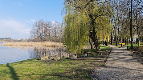
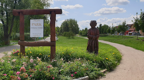
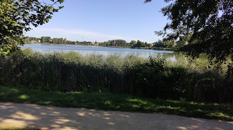
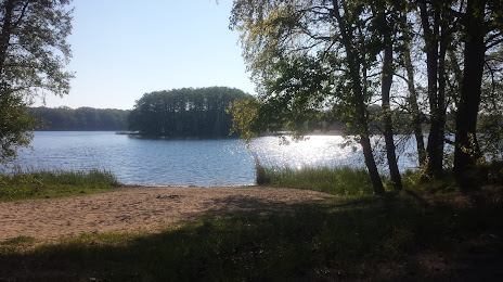
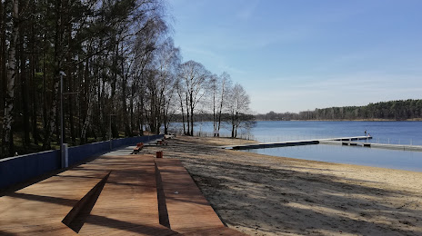
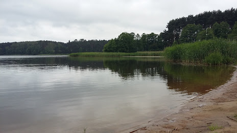
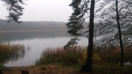
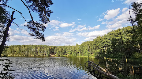
Attractions


Distance to the capital
Distance to the capital (Warsaw) is about — 350 km.