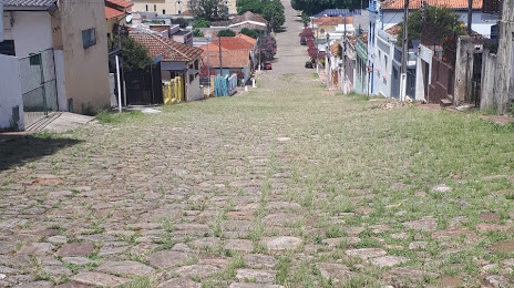
Cacoal — Rio Fortuna
Cacoal — Antônio Martins
Cacoal — Luisburgo
Cacoal — Lençóis
Cacoal — Guarulhos
Cacoal — Porto Rico do Maranhão
Cacoal — Tucuruvi
Cacoal — Porto
Cacoal — Jacaraci
Cacoal — Promissão
Cacoal — Tefé
Cacoal — Cairé
Cacoal — Forquilhinha
Cacoal — Pontalina
Cacoal — Capela do Alto
Cacoal — Velho
Cacoal — Pedro Velho
Cacoal — Antonina
Cacoal — Lima Duarte
Vilhena
Zico
Comodoro
Sapezal
Diamantino
Nobres
Rosário Oeste
Cuiaba
Jaciara
Rondonópolis
Coxim
Coxim
Rio Verde de Mato Grosso
Campo Grande
Nova Alvorada do Sul
Rio Brilhante
Dourados
Dourados
Caarapó
Naviraí
Eldorado
Mundo Novo
Salto del Guairá
Cacoal — Rio Fortuna
Cacoal — Antônio Martins
Cacoal — Luisburgo
Cacoal — Lençóis
Cacoal — Guarulhos
Cacoal — Porto Rico do Maranhão
Cacoal — Tucuruvi
Cacoal — Porto
Cacoal — Jacaraci
Cacoal — Promissão
Cacoal — Tefé
Cacoal — Cairé
Cacoal — Forquilhinha
Cacoal — Pontalina
Cacoal — Capela do Alto
Cacoal — Velho
Cacoal — Pedro Velho
Cacoal — Antonina
Cacoal — Lima Duarte
Vilhena
Zico
Comodoro
Sapezal
Diamantino
Nobres
Rosário Oeste
Cuiaba
Jaciara
Rondonópolis
Coxim
Coxim
Rio Verde de Mato Grosso
Campo Grande
Nova Alvorada do Sul
Rio Brilhante
Dourados
Dourados
Caarapó
Naviraí
Eldorado
Mundo Novo
Salto del Guairá  Salto del Guairá
Guaíra
Marechal Cândido Rondon
Marechal Cândido Rondon
Quatro Pontes
Toledo
Toledo
Realeza
Ampére
Salgado Filho
Maravilha
Cunha Porã
Palmitos
Seberi
Sarandi
Carazinho
Ernestina
Soledade
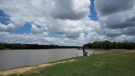
Santa Cruz do Sul
Salto del Guairá
Guaíra
Marechal Cândido Rondon
Marechal Cândido Rondon
Quatro Pontes
Toledo
Toledo
Realeza
Ampére
Salgado Filho
Maravilha
Cunha Porã
Palmitos
Seberi
Sarandi
Carazinho
Ernestina
Soledade
Santa Cruz do Sul
Cacoal — Rio Pardo distance, route on the map
Distance by car
Distance between Cacoal, State of Rondônia, Brazil and Rio Pardo, Rio Grande do Sul, Brazil by car is — km, or miles. To travel this distance by car, you need minute, or h.
Route on the map, driving directions
Car route Cacoal — Rio Pardo was created automatically. The road on the map is shown as a blue line. By moving the markers, you can create a new route through the points you need.
Passing cities through which the car route passes: Pimenta Bueno, Vilhena, Zico, Comodoro, Sapezal, Diamantino, Nobres, Rosário Oeste, Cuiaba, Jaciara, Rondonópolis, Coxim, Coxim, Rio Verde de Mato Grosso, Campo Grande, Nova Alvorada do Sul, Rio Brilhante, Dourados, Dourados, Caarapó, Naviraí, Eldorado, Mundo Novo, Salto del Guairá (py), Salto del Guairá (py), Guaíra, Marechal Cândido Rondon, Marechal Cândido Rondon, Quatro Pontes, Toledo, Toledo, Realeza, Ampére, Salgado Filho, Maravilha, Cunha Porã, Palmitos, Seberi, Sarandi, Carazinho, Ernestina, Soledade, Santa Cruz do Sul.
Distance by plane
If you decide to take a trip Cacoal Rio Pardo by plane, then you have to fly the distance — 2267 km or 1406 miles. It is marked on the map with a gray line (between two points in a straight line).
Flight time
Estimated flight time Cacoal Rio Pardo by plane at cruising speed 750 km / h will be — 3 h. and 1 min.
Direction of movement
Brazil, Cacoal — right-hand traffic. Brazil, Rio Pardo — right-hand traffic.
Difference in time
Cacoal and Rio Pardo are in different time zones. The time difference is 1 hour (UTC -4 America/Boa_Vista, UTC -3 America/Sao_Paulo).
Interesting Facts
Information on alternative ways to get to your destination.
The length of this distance is about 5.7% of the total length of the equator.
The percentage of the population is clearly shown in the graph:
Cacoal — 55,560, Rio Pardo — 26,999 residents (less by 28,561).
The cost of travel
Calculate the cost of the trip yourself using the fuel consumption calculator, changing the data in the table.