Encarnación de Díaz — Puerto Vallarta
Encarnación de Díaz — Comitan
Encarnación de Díaz — La Estación
Encarnación de Díaz — Isla Holbox
Encarnación de Díaz — Francisco Primo de Verdad
Encarnación de Díaz — Presa de Maltos
Encarnación de Díaz — Balancán Municipality
Encarnación de Díaz — General Escobedo
Encarnación de Díaz — Sultepec de Pedro Ascencio de Alquisiras
Encarnación de Díaz — Calería
Encarnación de Díaz — Samalayuca
Encarnación de Díaz — San Bernardo Mixtepec
Encarnación de Díaz — Nuevo Progreso
Encarnación de Díaz — Verdes
Encarnación de Díaz — Chiquilá
Encarnación de Díaz — Xicoténcatl
Encarnación de Díaz — Nombre de Dios Municipality
Encarnación de Díaz — Canoas
Encarnación de Díaz — El Coyolar
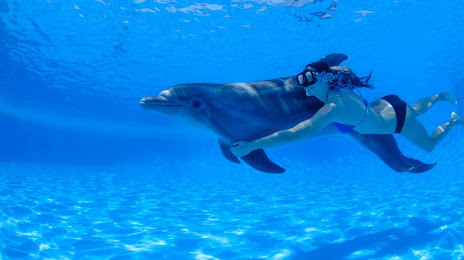
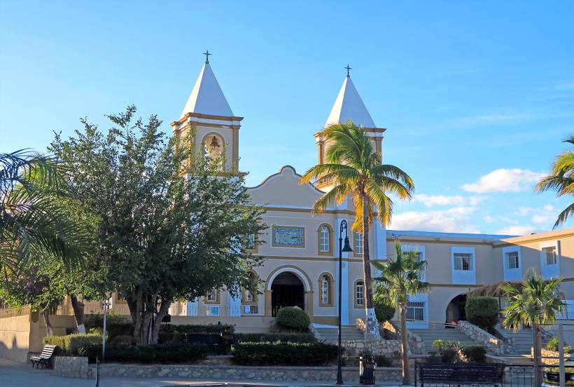
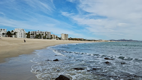
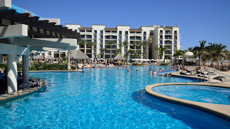
Encarnación de Díaz — San José del Cabo distance, route on the map
Distance by car
Distance between Encarnación de Díaz, Jalisco, Mexico and San José del Cabo, Baja California Sur, Mexico by car is — km, or miles. To travel this distance by car, you need minute, or h.
Route on the map, driving directions
Car route Encarnación de Díaz — San José del Cabo was created automatically. The road on the map is shown as a blue line. By moving the markers, you can create a new route through the points you need.
Distance by plane
If you decide to take a trip Encarnación de Díaz San José del Cabo by plane, then you have to fly the distance — 787 km or 488 miles. It is marked on the map with a gray line (between two points in a straight line).
Flight time
Estimated flight time Encarnación de Díaz San José del Cabo by plane at cruising speed 750 km / h will be — 1 h. and 2 min.
Direction of movement
Mexico, Encarnación de Díaz — right-hand traffic. Mexico, San José del Cabo — right-hand traffic.
Difference in time
Encarnación de Díaz and San José del Cabo are in different time zones. The time difference is 1 hour (UTC -6 America/Mexico_City, UTC -7 America/Mazatlan).
Interesting Facts
Information on alternative ways to get to your destination.
The length of this distance is about 2.0% of the total length of the equator.
The percentage of the population is clearly shown in the graph:
Encarnación de Díaz — 21,861 (less by 26,657), San José del Cabo — 48,518 residents.
The cost of travel
Calculate the cost of the trip yourself using the fuel consumption calculator, changing the data in the table.