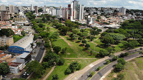
Goiânia — Oiapoque
Goiânia — Uru
Goiânia — Martins Soares
Goiânia — Esperantina
Goiânia — Feijó
Goiânia — Curitiba Airport
Goiânia — Marcelino Ramos
Goiânia — Putinga
Goiânia — Capão da Canoa
Goiânia — Jutica
Goiânia — Coronel Freitas
Goiânia — Ilhota
Goiânia — Piçarras
Goiânia — Areal
Goiânia — Benjamin Constant
Goiânia — São Paulo
Goiânia — Araçuaí
Goiânia — Vilhena
Goiânia — Tenente Portela
Morrinhos
Itumbiara
Araporã
Centralina
Prata
Border
Nova Granada
Onda Verde
Sao Jose de Rio Preto
Bady Bassitt
Jaci
José Bonifácio
Penápolis
Clementina
Piacatu
Osvaldo Cruz
Sagres
Regente Feijó
Goiânia — Presidente Prudente distance, route on the map
Distance by car
Distance between Goiânia, State of Goiás, Brazil and Presidente Prudente, São Paulo, Brazil by car is — km, or miles. To travel this distance by car, you need minute, or h.
Route on the map, driving directions
Car route Goiânia — Presidente Prudente was created automatically. The road on the map is shown as a blue line. By moving the markers, you can create a new route through the points you need.
Passing cities through which the car route passes: Hidrolândia, Morrinhos, Itumbiara, Araporã, Centralina, Prata, Border, Nova Granada, Onda Verde, Sao Jose de Rio Preto, Bady Bassitt, Jaci, José Bonifácio, Penápolis, Clementina, Piacatu, Osvaldo Cruz, Sagres, Regente Feijó.
Distance by plane
If you decide to take a trip Goiânia Presidente Prudente by plane, then you have to fly the distance — 644 km or 399 miles. It is marked on the map with a gray line (between two points in a straight line).
Flight time
Estimated flight time Goiânia Presidente Prudente by plane at cruising speed 750 km / h will be — 51 min.
Direction of movement
Brazil, Goiânia — right-hand traffic. Brazil, Presidente Prudente — right-hand traffic.
Difference in time
Goiânia and Presidente Prudente are in the same time zone. Between them there is no time difference (UTC -3 America/Sao_Paulo).
Interesting Facts
Information on alternative ways to get to your destination.
The length of this distance is about 1.6% of the total length of the equator.
The percentage of the population is clearly shown in the graph:
Goiânia — 1,171,195, Presidente Prudente — 209,507 residents (less by 961,688).
The cost of travel
Calculate the cost of the trip yourself using the fuel consumption calculator, changing the data in the table.