Tronconal — Bosques de Tres Marias
Tronconal — Calpulalpan
Tronconal — Baja California Sur
Tronconal — San Carlos Nuevo Guaymas
Tronconal — Ciudad Satélite
Tronconal — Alberto Oviedo Mota
Tronconal — Carichí
Tronconal — Tenosique
Tronconal — Cuatrociénegas Municipality
Tronconal — Actopan
Tronconal — Colonia Leyes de Reforma
Tronconal — Villagrán
Tronconal — Tancoco
Tronconal — Pueblo Nuevo
Tronconal — Pantelhó
Tronconal — Cerritos
Tronconal — Acala
Tronconal — Valle de Santiago
Tronconal — Tulancingo
Dos Ríos
Miradores
La Balsa
Rinconada
Crucero
José Cardel
San Julián
Delfino Victoria
Santa Rita
Veracruz International Airport
El Tejar
Jamapa
La Tinaja
Cosamaloapan
Los Cocos
Nopalapan
Sayula de Alemán
Acayucan
Texistepec
Jáltipan Morelos
Cosoleacaque
Minatitlán
Minatitlán
Nanchital de Lázaro Cárdenas del Río
Moloacán
Mundo Nuevo
The Choapas
Ocozocoautla de Espinosa
Berriozábal
Villa Misol-Ha
Chiapas
Tronconal — Bosques de Tres Marias
Tronconal — Calpulalpan
Tronconal — Baja California Sur
Tronconal — San Carlos Nuevo Guaymas
Tronconal — Ciudad Satélite
Tronconal — Alberto Oviedo Mota
Tronconal — Carichí
Tronconal — Tenosique
Tronconal — Cuatrociénegas Municipality
Tronconal — Actopan
Tronconal — Colonia Leyes de Reforma
Tronconal — Villagrán
Tronconal — Tancoco
Tronconal — Pueblo Nuevo
Tronconal — Pantelhó
Tronconal — Cerritos
Tronconal — Acala
Tronconal — Valle de Santiago
Tronconal — Tulancingo
Dos Ríos
Miradores
La Balsa
Rinconada
Crucero
José Cardel
San Julián
Delfino Victoria
Santa Rita
Veracruz International Airport
El Tejar
Jamapa
La Tinaja
Cosamaloapan
Los Cocos
Nopalapan
Sayula de Alemán
Acayucan
Texistepec
Jáltipan Morelos
Cosoleacaque
Minatitlán
Minatitlán
Nanchital de Lázaro Cárdenas del Río
Moloacán
Mundo Nuevo
The Choapas
Ocozocoautla de Espinosa
Berriozábal
Villa Misol-Ha
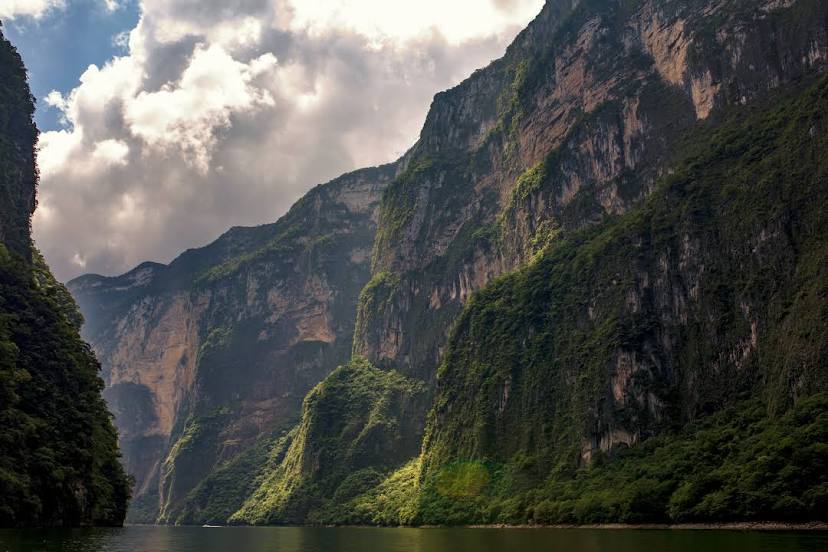
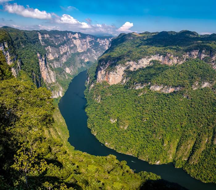
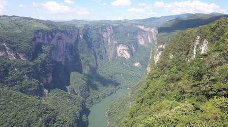
Chiapas
Tronconal — Tuxtla Gutiérrez distance, route on the map
Distance by car
Distance between Tronconal, Veracruz, Mexico and Tuxtla Gutiérrez, Chiapas, Mexico by car is — km, or miles. To travel this distance by car, you need minute, or h.
Route on the map, driving directions
Car route Tronconal — Tuxtla Gutiérrez was created automatically. The road on the map is shown as a blue line. By moving the markers, you can create a new route through the points you need.
Passing cities through which the car route passes: El Terrero, Dos Ríos, Miradores, La Balsa, Rinconada, Crucero, José Cardel, San Julián, Delfino Victoria, Santa Rita, Veracruz International Airport, El Tejar, Jamapa, La Tinaja, Cosamaloapan, Los Cocos, Nopalapan, Sayula de Alemán, Acayucan, Texistepec, Jáltipan Morelos, Cosoleacaque, Minatitlán, Minatitlán, Nanchital de Lázaro Cárdenas del Río, Moloacán, Mundo Nuevo, The Choapas, Ocozocoautla de Espinosa, Berriozábal, Villa Misol-Ha, Chiapas.
Distance by plane
If you decide to take a trip Tronconal Tuxtla Gutiérrez by plane, then you have to fly the distance — 506 km or 314 miles. It is marked on the map with a gray line (between two points in a straight line).
Flight time
Estimated flight time Tronconal Tuxtla Gutiérrez by plane at cruising speed 750 km / h will be — 40 min.
Direction of movement
Mexico, Tronconal — right-hand traffic. Mexico, Tuxtla Gutiérrez — right-hand traffic.
Difference in time
Tronconal and Tuxtla Gutiérrez are in the same time zone. Between them there is no time difference (UTC -6 America/Mexico_City).
Interesting Facts
Information on alternative ways to get to your destination.
The length of this distance is about 1.3% of the total length of the equator.
The cost of travel
Calculate the cost of the trip yourself using the fuel consumption calculator, changing the data in the table.