Resende
Aracruz
Domingos Martins
Muzambinho
Macau
Garibaldi
Mangaratiba
Campo Largo
Teresópolis
Rancharia
Paragominas
Guaratinguetá
Matão
Cocal
Rio Verde
Gurupi
Piraquara
Tefé
Rio Negrinho
Resende
Aracruz
Domingos Martins
Muzambinho
Macau
Garibaldi
Mangaratiba
Campo Largo
Teresópolis
Rancharia
Paragominas
Guaratinguetá
Matão
Cocal
Rio Verde
Gurupi
Piraquara
Tefé
Rio Negrinho
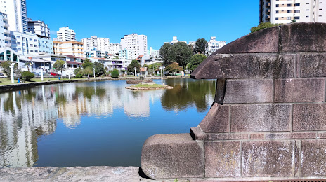
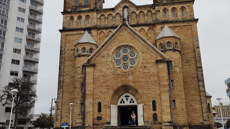
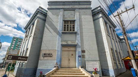
Lages on the map, Brazil
Where is located Lages
Exact location — Lages, Lages, Santa Catarina, Brazil, marked on the map with a red marker.
Coordinates
Lages, Brazil coordinates in decimal format: latitude — -27.8154629, longitude — -50.326356. When converted to degrees, minutes, seconds Lages has the following coordinates: -27°48′55.67 north latitude and -50°19′34.88 east longitude.
Population
Lages, Lages, Santa Catarina, Brazil, according to our data the population is — 164,679 residents, which is about 0.1% of the total population of the country (Brazil).
Comparison of the population on the graph:
Exact time
Time zone for this location Lages — UTC -3 America/Sao_Paulo. Exact time — friday, 4 april 2024 year, 19 h. 18 minutes.
Sunrise and sunset
Lages, sunrise and sunset data for a date — friday 26.04.2024.
| Sunrise | Sunset | Day (duration) |
|---|---|---|
| 06:47 -0 minutes | 17:50 -1 minute | 11 h. 6 minutes. -1 minute |
You can control the scale of the map using the auxiliary tools to find out exactly where it is located Lages. When you change the scale of the map, the width of the ruler also changes (in kilometers and miles).
Nearby cities
The largest cities that are located nearby:
- Criciúma — 132 km
- Blumenau — 159 km
- Palhoça — 163 km
- São José — 167 km
- Caxias do Sul — 170 km
- Florianópolis — 176 km
- Itajaí — 191 km
- Jaraguá do Sul — 193 km
- Passo Fundo — 209 km
- Novo Hamburgo — 221 km
- Joinville — 222 km
- São Leopoldo — 229 km
- Chapecó — 239 km
- Gravataí — 244 km
- Canoas — 246 km
- Cachoeirinha — 247 km
- Viamão — 259 km
- Porto Alegre — 260 km
- Araucária — 263 km
Distance to neighboring capitals:
- Asuncion
 (Paraguay) — 775 km
 - Asuncion (Paraguay) — 780 km
- Montevideo
 (Uruguay) — 963 km
 - Buenos Aires
 (Argentina) — 1075 km
 - Santiago
 (Chile) — 2039 km
 - Nuestra Señora de La Paz
 (Bolivia) — 2221 km
 - Paramaribo
 (Suriname) — 3781 km
 - Georgetown
 (Guyana) — 3941 km
 - Quito
 (Ecuador) — 4295 km
 - Bogota
 (Colombia) — 4414 km
 - Caracas
 (Venezuela) — 4624 km