Soldato-Aleksandrovskoye — Kasli
Soldato-Aleksandrovskoye — Orsk
Soldato-Aleksandrovskoye — Novaya Poyma
Soldato-Aleksandrovskoye — Pogost
Soldato-Aleksandrovskoye — Svobody
Soldato-Aleksandrovskoye — Glebovskiy
Soldato-Aleksandrovskoye — Lebedinskiy
Soldato-Aleksandrovskoye — Makhachkala
Soldato-Aleksandrovskoye — Inshinskiy
Soldato-Aleksandrovskoye — Maslovo
Soldato-Aleksandrovskoye — Strakhov
Soldato-Aleksandrovskoye — Tyul'kovo
Soldato-Aleksandrovskoye — Orenburgskiy rayon
Soldato-Aleksandrovskoye — Pushkinskiye Gory
Soldato-Aleksandrovskoye — Pokrovskoye
Soldato-Aleksandrovskoye — Osinniki
Soldato-Aleksandrovskoye — Borets
Soldato-Aleksandrovskoye — Svirino
Soldato-Aleksandrovskoye — Nariman (Nizhnekamskiy r-n)
Starodubskoye
Arkhipovskoye
Budyonnovsky District
Orlovka
Praskoveya
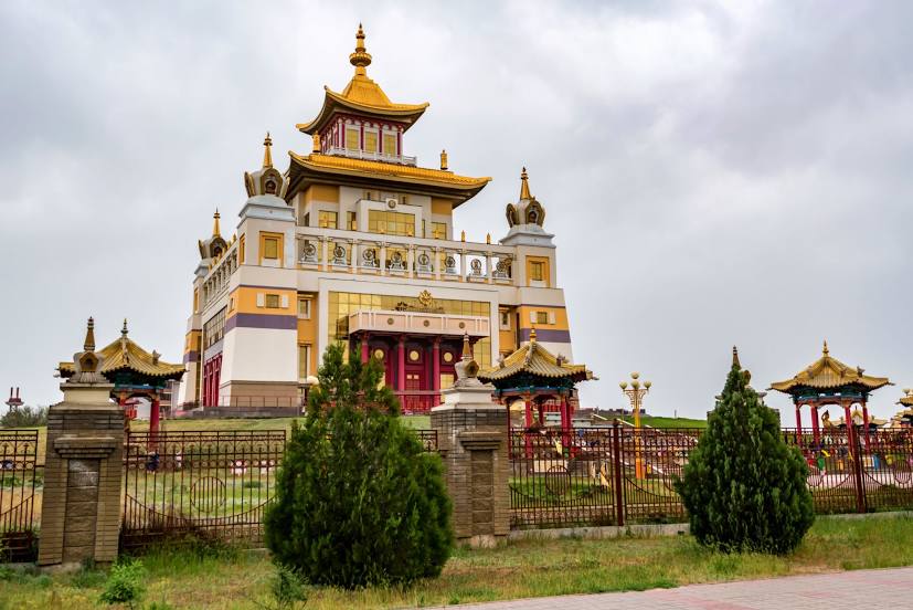
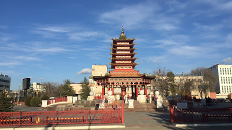
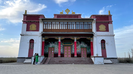
Budyonnovsk
Pokoynoye
Arzgirsky District
Arzgir
Arshan
Soldato-Aleksandrovskoye — Kasli
Soldato-Aleksandrovskoye — Orsk
Soldato-Aleksandrovskoye — Novaya Poyma
Soldato-Aleksandrovskoye — Pogost
Soldato-Aleksandrovskoye — Svobody
Soldato-Aleksandrovskoye — Glebovskiy
Soldato-Aleksandrovskoye — Lebedinskiy
Soldato-Aleksandrovskoye — Makhachkala
Soldato-Aleksandrovskoye — Inshinskiy
Soldato-Aleksandrovskoye — Maslovo
Soldato-Aleksandrovskoye — Strakhov
Soldato-Aleksandrovskoye — Tyul'kovo
Soldato-Aleksandrovskoye — Orenburgskiy rayon
Soldato-Aleksandrovskoye — Pushkinskiye Gory
Soldato-Aleksandrovskoye — Pokrovskoye
Soldato-Aleksandrovskoye — Osinniki
Soldato-Aleksandrovskoye — Borets
Soldato-Aleksandrovskoye — Svirino
Soldato-Aleksandrovskoye — Nariman (Nizhnekamskiy r-n)
Starodubskoye
Arkhipovskoye
Budyonnovsky District
Orlovka
Praskoveya
Budyonnovsk
Pokoynoye
Arzgirsky District
Arzgir
Arshan
Soldato-Aleksandrovskoye — Elista distance, route on the map
Distance by car
Distance between Soldato-Aleksandrovskoye, Stavropol Krai, Russian Federation and Elista, Kalmykia, Russian Federation by car is — km, or miles. To travel this distance by car, you need minute, or h.
Route on the map, driving directions
Car route Soldato-Aleksandrovskoye — Elista was created automatically. The road on the map is shown as a blue line. By moving the markers, you can create a new route through the points you need.
Passing cities through which the car route passes: Zelenokumsk, Starodubskoye, Arkhipovskoye, Budyonnovsky District, Orlovka, Praskoveya, Budyonnovsk, Pokoynoye, Arzgirsky District, Arzgir, Arshan.
Distance by plane
If you decide to take a trip Soldato-Aleksandrovskoye Elista by plane, then you have to fly the distance — 232 km or 144 miles. It is marked on the map with a gray line (between two points in a straight line).
Flight time
Estimated flight time Soldato-Aleksandrovskoye Elista by plane at cruising speed 750 km / h will be — 18 min.
Direction of movement
Russian Federation, Soldato-Aleksandrovskoye — right-hand traffic. Russian Federation, Elista — right-hand traffic.
Difference in time
Soldato-Aleksandrovskoye and Elista are in the same time zone. Between them there is no time difference (UTC +3 Europe/Moscow).
Interesting Facts
Information on alternative ways to get to your destination.
The length of this distance is about 0.6% of the total length of the equator.
The cost of travel
Calculate the cost of the trip yourself using the fuel consumption calculator, changing the data in the table.