Polevskoy — Khoroshevskaya
Polevskoy — Respublika
Polevskoy — Sakharovo
Polevskoy — Belorechensk
Polevskoy — Bannoye
Polevskoy — Konstantinovka
Polevskoy — Muzhi
Polevskoy — Uelen
Polevskoy — Lugovoye
Polevskoy — Orto-Surt
Polevskoy — Artyomovsk
Polevskoy — Serpukhov-15
Polevskoy — Drachevo
Polevskoy — Uralsky
Polevskoy — May
Polevskoy — Uspekh
Polevskoy — Lukhovka
Polevskoy — Zelenogorskij
Polevskoy — Prigorsk
Polevskoy — Belogorsk distance, route on the map
Distance by car
Distance between Polevskoy, Sverdlovsk Oblast, Russian Federation and Belogorsk, Amur Oblast, Russian Federation by car is — km, or miles. To travel this distance by car, you need minute, or h.
Route on the map, driving directions
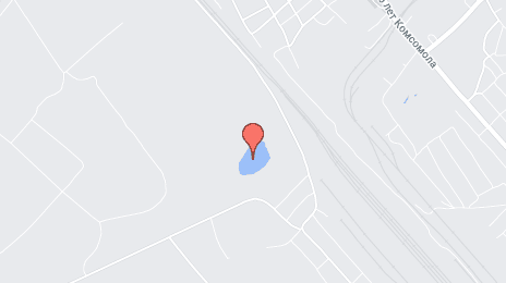
Car route Polevskoy — Belogorsk was created automatically. The road on the map is shown as a blue line. By moving the markers, you can create a new route through the points you need.
Distance by plane
If you decide to take a trip Polevskoy Belogorsk by plane, then you have to fly the distance — 4351 km or 2698 miles. It is marked on the map with a gray line (between two points in a straight line).
Flight time
Estimated flight time Polevskoy Belogorsk by plane at cruising speed 750 km / h will be — 5 h. and 48 min.
Direction of movement
Russian Federation, Polevskoy — right-hand traffic. Russian Federation, Belogorsk — right-hand traffic.
Difference in time
Polevskoy and Belogorsk are in different time zones. The time difference is 4 hours (UTC +5 Asia/Yekaterinburg, UTC +9 Asia/Yakutsk).
Interesting Facts
Information on alternative ways to get to your destination.
The length of this distance is about 10.9% of the total length of the equator.
The percentage of the population is clearly shown in the graph:
Polevskoy — 65,771 (less by 500), Belogorsk — 66,271 residents.
The cost of travel
Calculate the cost of the trip yourself using the fuel consumption calculator, changing the data in the table.