Bad Buchau — Essingen
Bad Buchau — Neetze
Bad Buchau — Gadebusch
Bad Buchau — Ebersdorf
Bad Buchau — Poppenhausen
Bad Buchau — Oberbessenbach
Bad Buchau — Lochau
Bad Buchau — Choren
Bad Buchau — Sebbeterode
Bad Buchau — Tielen
Bad Buchau — Untermarchtal
Bad Buchau — Kindelbrück
Bad Buchau — Klein Nemerow
Bad Buchau — Baumschulenweg
Bad Buchau — Werdohl
Bad Buchau — Kölleda
Bad Buchau — Recke
Bad Buchau — Amstetten
Bad Buchau — Leipzig
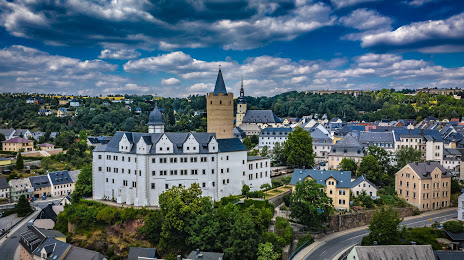
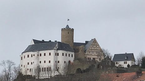
Bad Buchau — Zschopau distance, route on the map
Distance by car
Distance between Bad Buchau, Baden-Württemberg, Germany and Zschopau, Saxony, Germany by car is — km, or miles. To travel this distance by car, you need minute, or h.
Route on the map, driving directions
Car route Bad Buchau — Zschopau was created automatically. The road on the map is shown as a blue line. By moving the markers, you can create a new route through the points you need.
Distance by plane
If you decide to take a trip Bad Buchau Zschopau by plane, then you have to fly the distance — 390 km or 242 miles. It is marked on the map with a gray line (between two points in a straight line).
Flight time
Estimated flight time Bad Buchau Zschopau by plane at cruising speed 750 km / h will be — 31 min.
Direction of movement
Germany, Bad Buchau — right-hand traffic. Germany, Zschopau — right-hand traffic.
Difference in time
Bad Buchau and Zschopau are in the same time zone. Between them there is no time difference (UTC +2 Europe/Berlin).
Interesting Facts
Information on alternative ways to get to your destination.
The length of this distance is about 1.0% of the total length of the equator.
The percentage of the population is clearly shown in the graph:
Bad Buchau — 4,040 (less by 7,976), Zschopau — 12,016 residents.
The cost of travel
Calculate the cost of the trip yourself using the fuel consumption calculator, changing the data in the table.